Saturday, July 24, 2010
Stats for the day: Below Bishop pass - South Lake, Drive to Bishop for resupply, S Lk -Dusy Basin. Total ascent 3600'. Total Descent 3100'. Total Distance 11.59 miles. 5 hrs 0 mins walking.
Stats for the day: Below Bishop pass - South Lake, Drive to Bishop for resupply, S Lk -Dusy Basin. Total ascent 3600'. Total Descent 3100'. Total Distance 11.59 miles. 5 hrs 0 mins walking.
Resupply day. Our packs have been getting lighter and lighter as we consume our food, so today is the day we load up again. I had volunteered to freight the food to Dusy Basin two weeks ago, but when it turned out to weigh 75 pounds, I decided it was too much for me to carry. Barb Oen, Craig's wife volunteered to drive it up to South Lake above Bishop.
Originally, we would hike the four miles out to meet Barb at the South Lake trail head, she would bring us cherry turnovers and other bakery items and we would reload our bear cans with food, say goodbye to Sandy, Lynn and Craig and Gary, Andy and I would march back up the trail. Unfortunately, Gary's boots fell apart three days ago and have been held together by cord, thread and duct tape, so he needed to drive to Bishop to get new boots. We decided to all go, that way we could clean up at the city pool with showers and a swim, have a calorific lunch, repack the bear cans and then Craig could drive us back to the trailhead.
We crammed all the gear into the bed of the truck, then Gary and I climbed in also and Craig closed the canopy door. That left five in the cab for the 22 mile drive to town.
First stop, the pool. We showered and washed our clothes in the dressing room, took a short swim, then drove to the sporting goods store so Gary could buy new shoes. Part of the group remained at the park by the pool. When we returned we packed our food and got our gear in order, made phone calls home and posted the blogs that had been written but not sent due to no cell service.
Calories are a big problem when climbing. It is very difficult to carry enough food to meet your caloric needs. On a typical day we hike (actual movement as recorded by the GPS) 5 or 6 hours. This is 2800-3300 calories each day plus the base calories just to maintain life of around 1800, so about 5000 calories a day. I have been tracking my calorie consumption and find I only eat about 3000-3500 calories a day, a shortfall of 1500-2000 a day. Great for losing weight, which I rapidly am. To slow this weight free fall we decided to lunch at Carl's Jr. A 1000 calorie hamburger 330 calories of fries and I was stuffed. Couldn't get anymore down. Gary and Andy each had a milk shake, too. So today I ate two cherry turnovers for 750 calories, a banana (100), Carl's burgers and fries for 1330 and some pull apart bread. Total of 2700 calories when my other eatings are counted. We burned 1600 calories just climbing up to Bishop Pass, not to mention the other 6 miles we hiked today. So even with a ridiculously fatty lunch, I still was calorie deficient today.
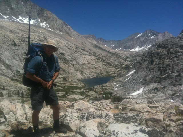
Craig dropped us of at the trailhead at two-thirty and we began the 5.2 mile, 2400' climb to Bishop Pass. We covered the distance in three hours, getting occasional spits of rain as the afternoon thunderheads threatened. But they dissipated as evening progressed and we dropped 2 miles and 900' into Dusy basin for the night. With rain still threatening we pitched the tent and found a good tree to hang some of our excess food from (we hope it is a good tree, we will know in the morning). Not all our food for 11 days would fit in the bear can, so we will be hanging for a day or two until we eat down our supply and get it all in the can.


