Wednesday, April 13, 2022

Day 5 - Wednesday, April 13, 2022 - 0.00 miles - 10,494 steps - MP 85.1 to MP 85.1 - Vert Up - 0’ Vert Dwn - 0’

It’s a zero day!!  Two nights in the Motel 6!  Went to breakfast at Kranberries Restaurant at 8:00am. Finished at 10:40am. So many hikers coming in it was like a reunion-Trudge, Hob, Lighthouse, Hanno and Tanya, plus I met Coolwhip, a mental health professional from Illinois. Said goodbye to Trudge. He was only doing the border to Lordsburg and is heading home to Huntington Beach. Lighthouse is taking another day off tomorrow so it may be days until I see him again. 

What did I do all day?  Not much and that’s the point. Got caught up with the blog. Walked to the grocery for a few supplies. Walked to downtown Lordsburg. And mostly rested. 

Downtown Lordsburg is set up facing the railroad tracks. I suspect the passenger trains coming thru were a big deal in its past. But now, the whole line of old buildings are vacated and dilapidated. Sad to see. The county courthouse is here (Hidalgo County), and two dollar stores and a local family grocery with a McDonalds next to the freeway (I-10). 

Tomorrow, I head north of town, 75 miles to Silver City. It will take 4 days. The trail climbs up into the mountains so I will see some trees!


Lots of run down homes in town


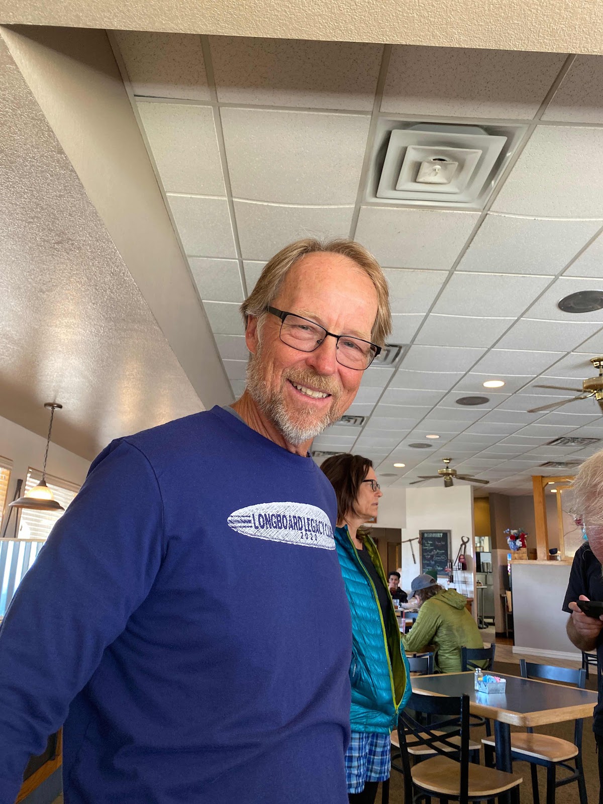
Trudge from Huntington Beach, CA


Stopped in at the post office on my walk through town. They had a CDT hiker’s guest book and a map to mark where you are from. I put a dot where Toledo is, then labeled it. Toledo may be small, but we are on the map!


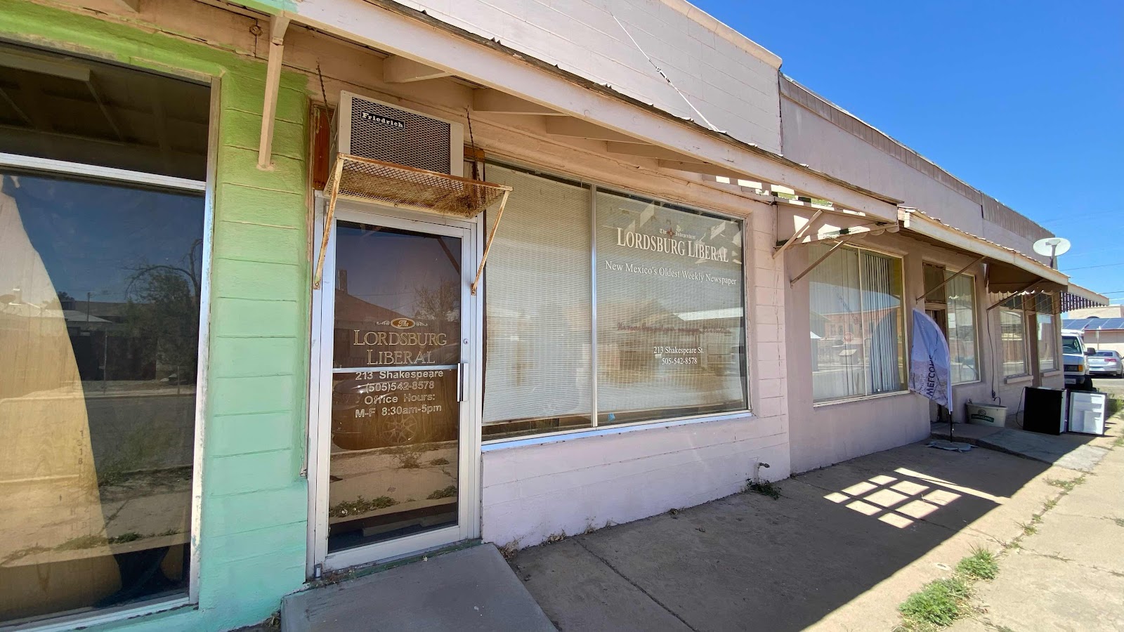
Liked the name of this paper next to the CDT office. 


The multicolored line shows the CDT through New Mexico. At each color change there is a resupply of food, most occur in towns on or near the trail. I have completed the first 85 miles, the orange section down in the boot heal of NM. Roughly, the next section is 4 days, 75 miles (green), the next is 2.5 days, 45 miles (blue), the next is 7 days, 140 miles (red) and so on. 

Day 4 - Tuesday, April 12, 2022 - 27.8 miles - 62,228 steps - MP 57.3 to MP 85.1 - Vert Up - 1317’ Vert Dwn - 1505’

Bummer of a mixup. When I wandered off to my camping spot 50 yards away we all agreed to be ready to go at 6:00am. I nestled into my sleeping bag and as I lay dozing I realized I should turn off my phone to avoid battery drain and preserve what little charge I had for tomorrow. This means no alarm, so I set one for 5:15am on my watch. As typical, I slept very well for 5 hours, 8:30pm until 1:30am, then began my dozing cycle. I fell asleep again sometime near 4:00am. When next I awoke it was 5:37am and my watch was not making a sound. I looked up to where Lighthouse was sleeping and saw no lights. I looked over to where D’Anne was and saw no lights. Had they left? We’re they all oversleeping?

Assuming they had left I quickly packed up. When I stood up I saw a headlamp below on the trail flashing. Someone hiking thru I thought. Just before I shouldered my pack and headed to the trail I heard someone scream my name and the light below was flashing?  We’re they down below this whole time waiting for me? I scurried the 150 yards down the slope and found D’Anne waiting. Mike and Lighthouse had gone ahead. It was 5:57am. Why was everybody up and gone early?  D’Anne had been waiting nearly half an hour for me. Why had she come down to the trail so early?

Remember the satellite text I sent her yesterday at the close of the day saying “Be right over”?  She didn’t get it until early this morning while she was packing and thought I was ready to go so she slipped out early expecting to find me. From down below she saw my headlamp come on and then waited until I came trundling down 25 minutes later. I know I hate waiting 5 minutes for someone at the top of a chairlift while skiing. She stood 25 minutes in the dark waiting and I didn’t know she was. 

Anyway, we took off like a shot to try and make up time lost and gain on Lighthouse. We covered 10 miles in the first three and a half hours. Mind you the terrain is mind numbing flat so speed is easier to obtain. We found Lighthouse and stopped to have a snack with him. Mine was breakfast as I hadn’t eaten yet. All morning the trail was difficult to follow as it passed through gates, under and over barbwire fences, through washes that wiped its existence clean and through knee high dead grasses. We spent a lot of time using Guthook to navigate. Finally, the trail became more distinct. I stopped to use the bushes, zip off the legs of my pants and take some preventative ibuprofen while D’Anne, music playing in her headphones set a music driven pace I didn’t maintain. After an hour or so I found her hiding from the sun getting a bite. I stopped and had something too, then continued on while she visited the bushes. There were six miles to go to the 5th water cache, our destination for the night, but in two miles there was a large tank with good water. I didn’t need any but thought I would stop, inspect the works and maybe get a liter. Kind of like stopping at a roadside attraction. 

The steel tank was about 7 feet tall and 15’ in diameter, completely full with a ladder up the outside. At the top of the ladder was a float valve like in a toilet. Push the float down and new water comes from the well. All that water and a filthy body inspired me to wash myself. D’Anne was just catching up as I was exploring the water works. She was motoring past when I said she was missing one of the “Points of Interest” on the trail. She yelled back over the roar of the wind that she was headed for the water cache 4 miles away. 

I filled my dry bag with water and gave myself a glorious spit bath, top to bottom only skipping my feet because I didn’t want to take off my shoes in the dusty cattle area in which the tank sat. In five minutes I was clean!! Sparkling, deliciously - clean. Smell good from the soap - clean. 

With the wind still howling, I happily walked the next four miles to the 5th water cache. It felt so amazing to have 4 days of dirt and grime glued to my skin by sunscreen removed. Probably how a snake feels when it sheds its old outer skin. 

About half a mile from the cache the trail runs right along a barbwire fence. As I descended a small slope I saw a man in front of me and announced my arrival before I scared the bejezzus out of him with my approach. He introduced himself as “Hob”. He was a talker, but the kind you really enjoy talking with as he actually listens to what you have to say, too. I slowed down to walk the last half mile to the cache to get to know this 70 year old. A quick synopsis: He taught fourth grade, his wife French, in Connecticut. When he finishes the CDT this year he will be a triple-triple crowner. He first hiked the PCT in 1976. He has done the Arizona trail. He has biked across America three times, across Australia twice, done 16 Caminos in Europe including England to Rome, Switzerland to Santiago and others. And, he has done them all with his wife, except three due to family issues. By now you might be picturing a thin, svelt, ego driven athlete. Morph your mental picture into a 50 pound overweight teddy bear of a grandpa. I bet his fourth graders adored him as much as his sparkling eyes told me how much he loved them. 

We made it to the water cache all the while being buffeted by 60 mph winds. We stood talking for another 20 minutes, comparing lives. We exchanged phone numbers and debated whether to try to find a place to camp out of the wind or hike the remaining 6.4 miles to town. 

By 2:20pm I had made up my mind to carefully walk the last 6.4 miles to the Motel 6, bringing my day’s total to 27.5 miles, way too much this early into a 5 month hike. But the winds were atrocious and I felt really good. As John Muir would say, I “sauntered” the 6.4 listening to every joint and muscle for sounds of overuse.  Other than the bottom of my feet and a tense muscle in my back all was good. Visions of a bed and a hot shower flooded my brain during the last half mile. 

I got to the Motel 6 at 5:00pm, checked into my room, filled the tub with cold water and soaked my feet for 15 minutes. Then I plugged in all my devices and got them charging. Next, I filled the tub with hot water and washed all my clothes and hung them to dry on the provided coat hangers. I spread all my gear out for inspection and cleaning, then identified all the cactus and desert plants I had taken pictures of for Robby and called him via FaceTime. We spent half an hour identifying all the plants and talking about their properties before I talked to Jackie and Jeff about the new kid popping out on Monday and what’s new with their house. Sally and I talked on the phone for a bit, I wrote for a few minutes and I was asleep. 


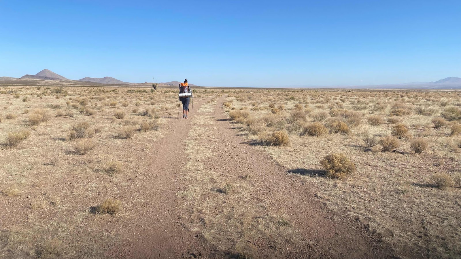
Is this a typical desert shot or what?


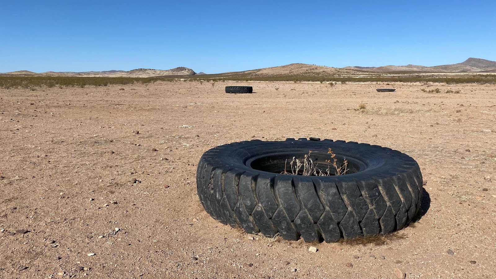
Most of today looked like this. Super flat and dry. 


More livestock watering tires. These are now planters. 


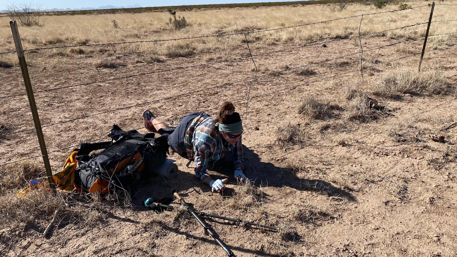
Guthook says there is a gate here. Nope. Luckily, the bottom wire has no barbs. Army crawl under. 


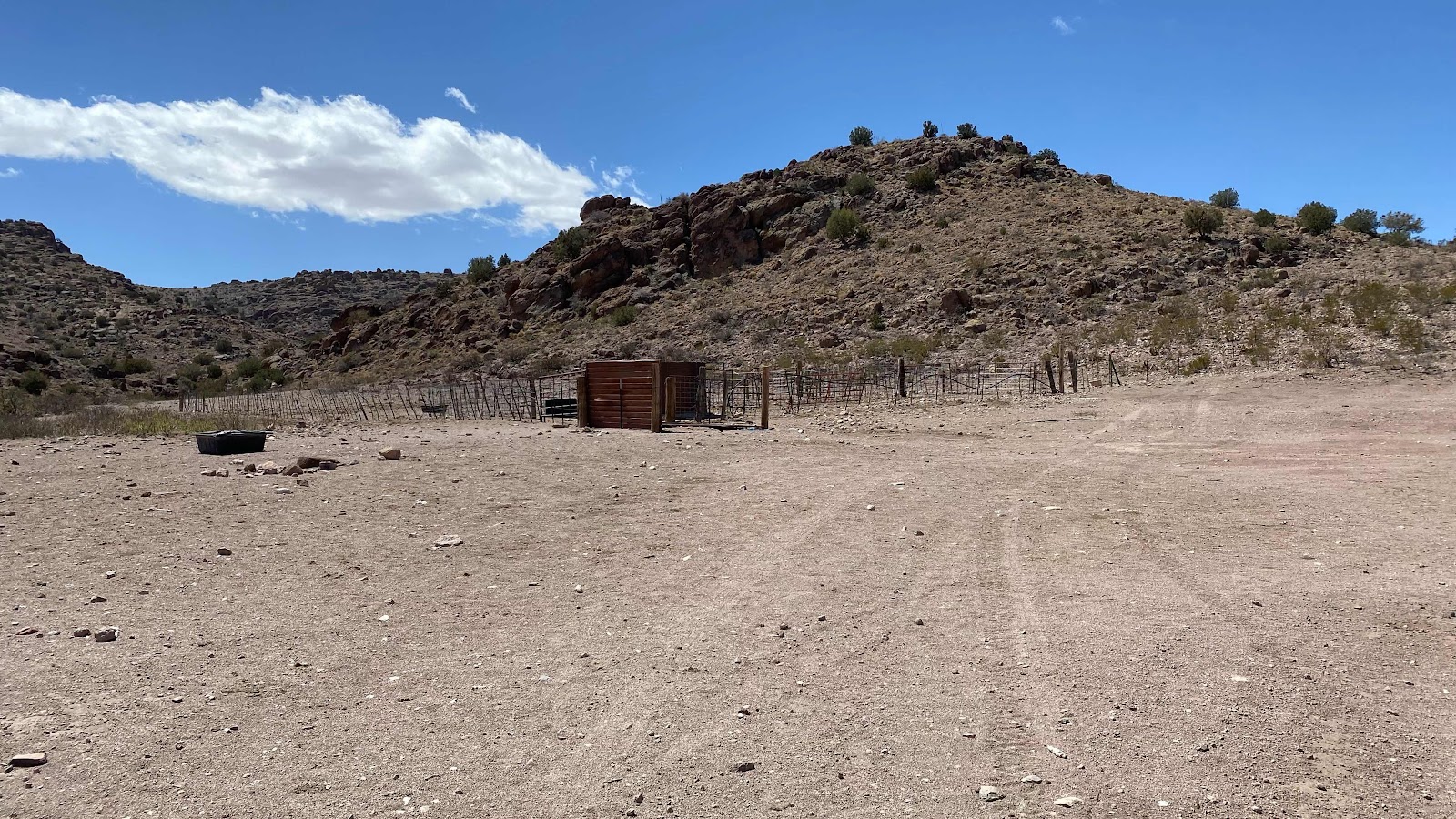
The water tank where I bathed. 


Float valve in the water tank. 


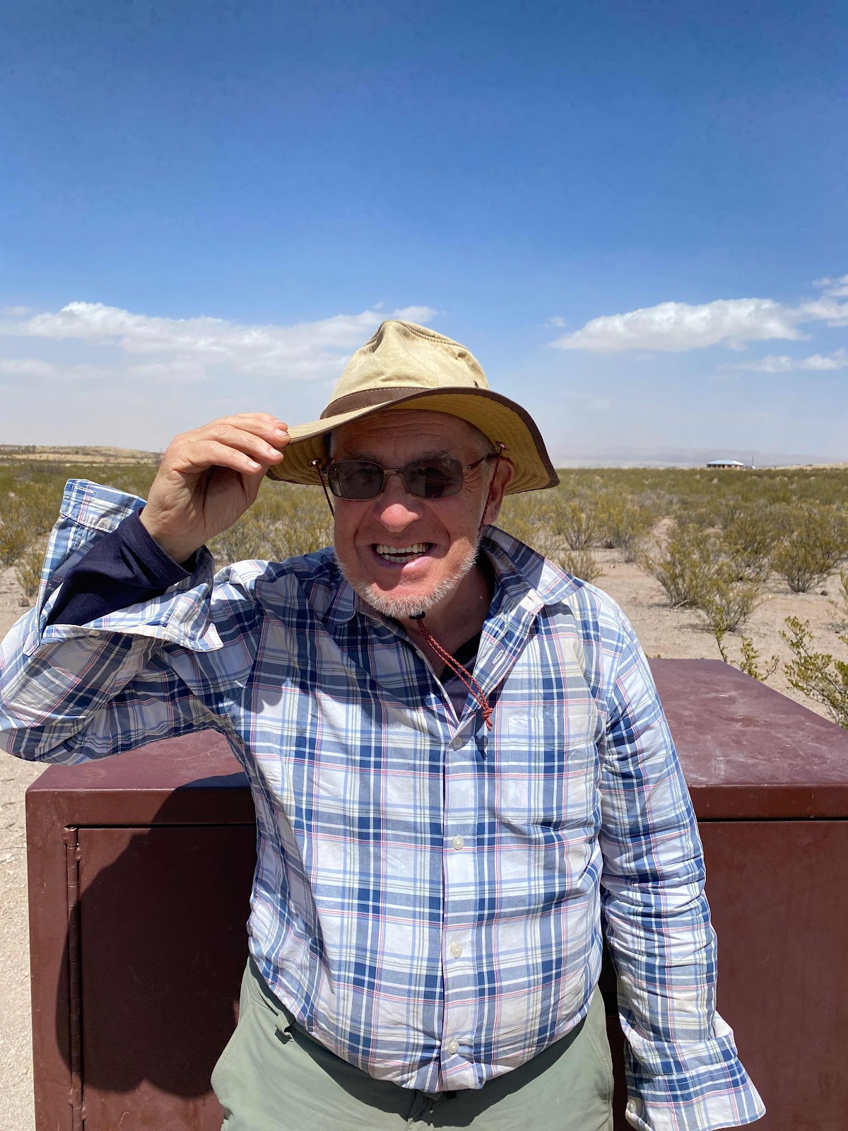
This is Hob. 


One of many cactus pictures I took for Robby


Lordsburg off in the distance. 


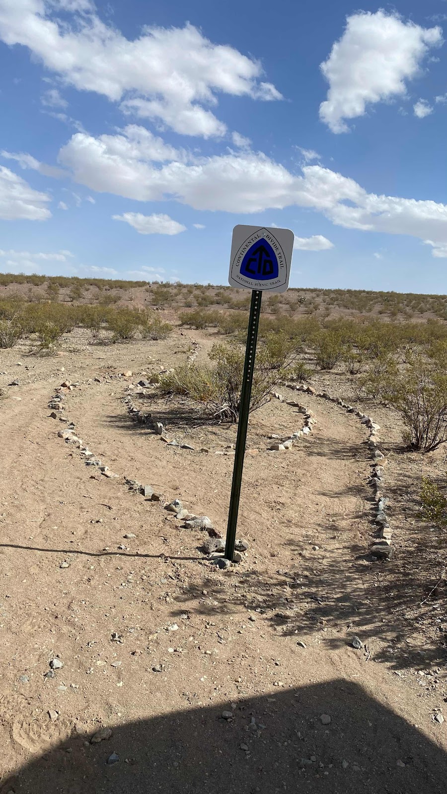
The decorated entrance to the CDT at Lordsburg. 


Tuesday, April 12, 2022

Day 3 - Monday, April 11, 2022 - 23.0 miles - 55,347 steps - MP 35.4 to MP 57.3 Miles - Vert Up - 1481’ Vert Dwn - 1000’

For something that is nearly non-existent here it sure commands all decisions. If it weren’t for the trail angels paid by the CDTC to deliver this scarce resource, there would not be enough to permit this route. Of course I am referring to water. It determines what distances we will walk and how heavy our packs are. It influences where we camp. It is everywhere and yet nowhere. 

This morning our alarms woke us at 5:15am, about an hour before first light. I have a sandwich bag containing 3/4 cup of granola and 1/6 cup of powdered milk. I pour in about half a cup of water, squish the bag around and then shove spoonful of the milk moistened granola into my mouth while I stuff my sleeping bag, deflate my sleeping pad and put everything into my pack. I finished my soggy bag of granola at about the same time as my packing so I step from the tent, collapse it, stuff it into its sack then rearrange everything in my pack to balance the load. A thorough search for items left behind and I am ready to go.  Time elapsed, about 30 minutes. 

This morning Lighthouse, D’Anne and I left simultaneously and walked together for an hour or so, chatting and watching the sun rise. Lighthouse videos about 45 minutes of footage a day, then edits it at camp and posts it to YouTube. (Here is his introduction to his CDT hike - https://youtu.be/q22aW2R2MMk) For this reason he usually falls behind to film sequences. D’Anne and I hiked most of the nine miles to the 2nd water cache together, although one or the other of us stops for potty breaks, equipment adjustments and clothing changes while the other continues on meaning we can be up to 1/2 a mile apart. 

I discovered I had good phone service during this stretch and FaceTimed Andy with instructions to change the address of my resupply box going to Silver City. As my schedule looks now, I will arrive on Sunday. The Post Office is closed on Sundays so I would have to hang around town an extra day to get my resupply. It is now being shipped to the Triple Crown Hostel, run by triple crown thru hikers. They are always open. I also FaceTimed with Sally and showed her the desert I am hiking through. 

So hiking together isn’t really hiking together. I reached the 3rd water cache about 10 minutes ahead of D’Anne and 20 minutes ahead of Lighthouse. As is my routine at a rest stop, I immediately remove my shoes and socks and let my feet and socks dry in the very dry and warm desert air while sitting on the ground and rummaging through my pack for a snack. Today, I had another goal in mind. I wanted to wash my other pair of socks. I have a water tight nylon bag. I dumped a liter of water in it, dribbled in a bit of Dawn detergent and shook the bag violently to agitate the socks and water. I wrung out the socks and attached them to the back of my pack to dry as I hiked. 

Radar, a thru hiker that helps in the spring to keep the water caches supplied was at the cache checking water levels. All of us chatted with him as we filled our bottles and had a bite to eat. Magic Mike and D’Anne left about 10 or 15 minutes before me and Lighthouse followed by another 5. 

I FaceTimed with the Caldwells for a bit while walking, then put in my earbuds and continued my audio book “Cloud Cuckoo Land” by Anthony Doer. The trail eventually went up a rise to a saddle. There a well, a large storage tank and a huge tire on its side for a watering trough are placed to water wildlife and cattle. It also waters CDT hikers. D’Anne and Mike were just finishing up a snack. We chatted for 10 minutes before they packed up and took off. Lighthouse had arrived and we chatted a bit. I realized this was an excellent time to wash clothes since there was nearly unlimited clean water. I took off my shirt, washed it in my bag that I filled with water from the tire watering trough and hung it to dry on some branches while I finished packing up. 

Lighthouse got out ahead of me while I got dressed. 

The next 3 and 1/3 miles was rolling “high country”, or that is what it felt like. Most of it gravel road, it reminded me of alpine meadows before they come to life in the spring. I stopped under a tree (a tree!) and sat on an old discarded tire with a plank across it to alter my left shoe. My Salomon shoes have what could be described as speed laces-very thin tough laces that are a loop. You pull on the loop and all the eyelets feel the same pull and tighten uniformly. This is convenient, but not good for me. I need the toe box area to stay loose to give my toes more room. On normal shoes I back the laces out thru the eyelets down to one set above the toe box, pull the shoes wide apart and then tie a knot in the laces at that point so when I yank on the shoe strings at the top to tighten them up, the toe box doesn’t get tightened and my toes have more room. You can’t do that with these laces short of cutting the lace loop. 

My left little toe was feeling the squeeze and I feared a blister might form. I loosened the shoe at the toe box, then glued the laces together with super glue and baking soda (yes, I have both in my pack) to form a knot of sorts that kept the toe box open. It was a successful operation and the pressure on my toe vanished. 

About a mile further along I came upon an elderly woman (early 70’s maybe-sorry “elderly” friends) on the trail carrying a very used vintage ultralight pack. As I always do, I introduced myself as Coach and asked her name. “Marmot”. She is kind of a legend in the thru hiking world having completed all the thru hikes multiple times. She seemed concerned about her water supply, thinking she might be running out. She was carrying a 2 liter bag hidden in her pack with a tube and mouthpiece extending outside so she can suck down water whenever she wants. Problem was, not much water came and occasionally air bubbles, indicating her bag was nearly empty. It was still 5 miles to the next water. I offered her half a liter or more if she needed it as I was now carrying nearly two liters, more than enough for the five miles (I find I do great at about 1 liter per five miles). She declined. I said let’s look in her pack and see how much water she had sloshing around in her two liter bag. She dropped her pack and we found a good liter and a half of water. Her water bag was laying horizontal in her pack with the tube attached at one end so when the water sloshed back and forth she would occasionally get some air in the line. That coupled with a kink in her tube accounted for her symptoms of low water. I walked with her for about 5-10 minutes afterwards. She seemed frail under her untidy and somewhat disheveled pack, but her experience and new found confidence in her water supply brightened her outlook and she chatted about past thru hikes and a west coast organization of thru hikers that meets each fall in a predetermined western city. 

Satisfied that she was fine, I sped up my pace so as not to get too far behind my crew and climbed a slight rise to a saddle with an expansive view out over the desert. A quick stop for a photo and to drink it in and I was working my way down the other side. I was listening to my book and nearly walked by a couple on the trail, tucked into a little shade below a juniper, sheltering from sun and wind. They introduced themselves as Hanno and Tanya from Cologne, Germany. They are thru hiking this summer. We agreed we would see each other all summer long and spent a minute chatting. They both looked tired and Tanya said they were a bit slow. I reassured them in the weeks ahead their pace would quicken. I was on my way again. Soon I passed two women that appeared to be in their early thirties or late twenties tucked under a juniper off the trail in a gab session, or so their body language indicated. They told me my crew had passed 20 to 30 minutes ago. This was Coney, from Switzerland and Grit (or something like that). On my way again. 

I crested a small rise and saw the highway and bear cabinet of the third water cache. Lighthouse was still at the cache when I arrived, Magic Mike and D’Anne had crossed the highway and were seeking a place out of the wind on the hill. It seemed a good idea as maybe the wind was slightly blocked by the rock outcropping near the top. Lighthouse and I received a text on our inReach devices from D’Anne saying they were looking for a camping spot and to come join them. I replied on mine, “Be right over.” That reply was to cause confusion tomorrow morning. 

Lighthouse made the 300 yard trek to the highway, up and over it and then up the hill while I ate a snack and filled all my bottles (5) with water at the cache. 

I found all three hunkered down on the hillside beside a juniper sheltering from wind and sun. We rested and Magic Mike and I got into a prolonged discussion about baseball. We cooked dinners, then explored for flat ground on the hillside on which to sleep, knowing pitching a tent would just bring flapping in the wind all night long. I found a flat spot halfway up the slope behind an outcrop of rocks that seemed exposed but the shape of the hill forced most of the wind above this spot. I laid out my tent to use as a ground cloth, put my inflated sleeping pad on it and layed my sleeping bag on top of me. It was still too warm to get inside. I FaceTimed Robby, Junie and Izzy and showed them where I was. Robby wanted to see pictures of all the cactus I had seen today. I confessed to not taking any photos and told him I would do so tomorrow. After hanging up, I plugged my phone and watch into my battery pack and fell asleep. When I woke a few hour later I noticed the battery pack’s LED was blinking indicating it was exhausted. My phone read only 90%, not a full charge. Too many FaceTime calls today. I would have to be super careful tomorrow not to run my iPhone to zero as it was a very necessary navigation tool. With that, I was asleep. It was a 23 mile day and I was pooped. 
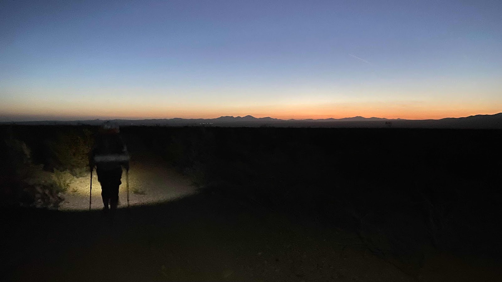

D’Anne’s headlight makes spool of light in the early dawn as she hikes up the “trail”, here a dirt road. 


That former windmill tower and tank is a water source just off the trail, but since I had filled at the water cache three miles earlier I didn’t need to go off trail to see it. 
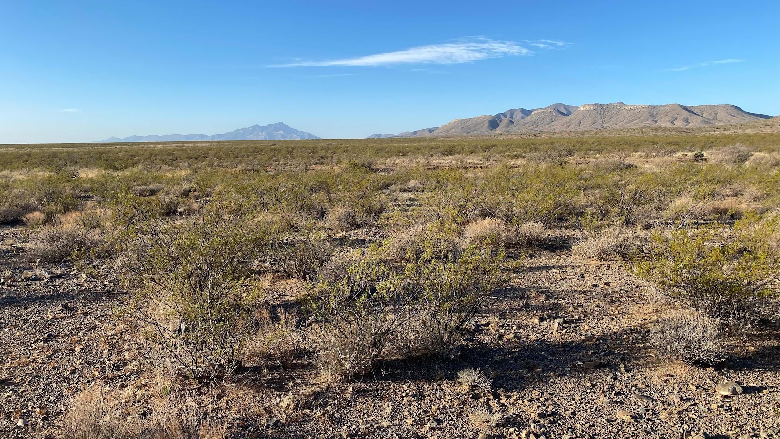

Beyond the furthest mountains in the distance is where we started two days ago. Those are the Little Hachet mountains
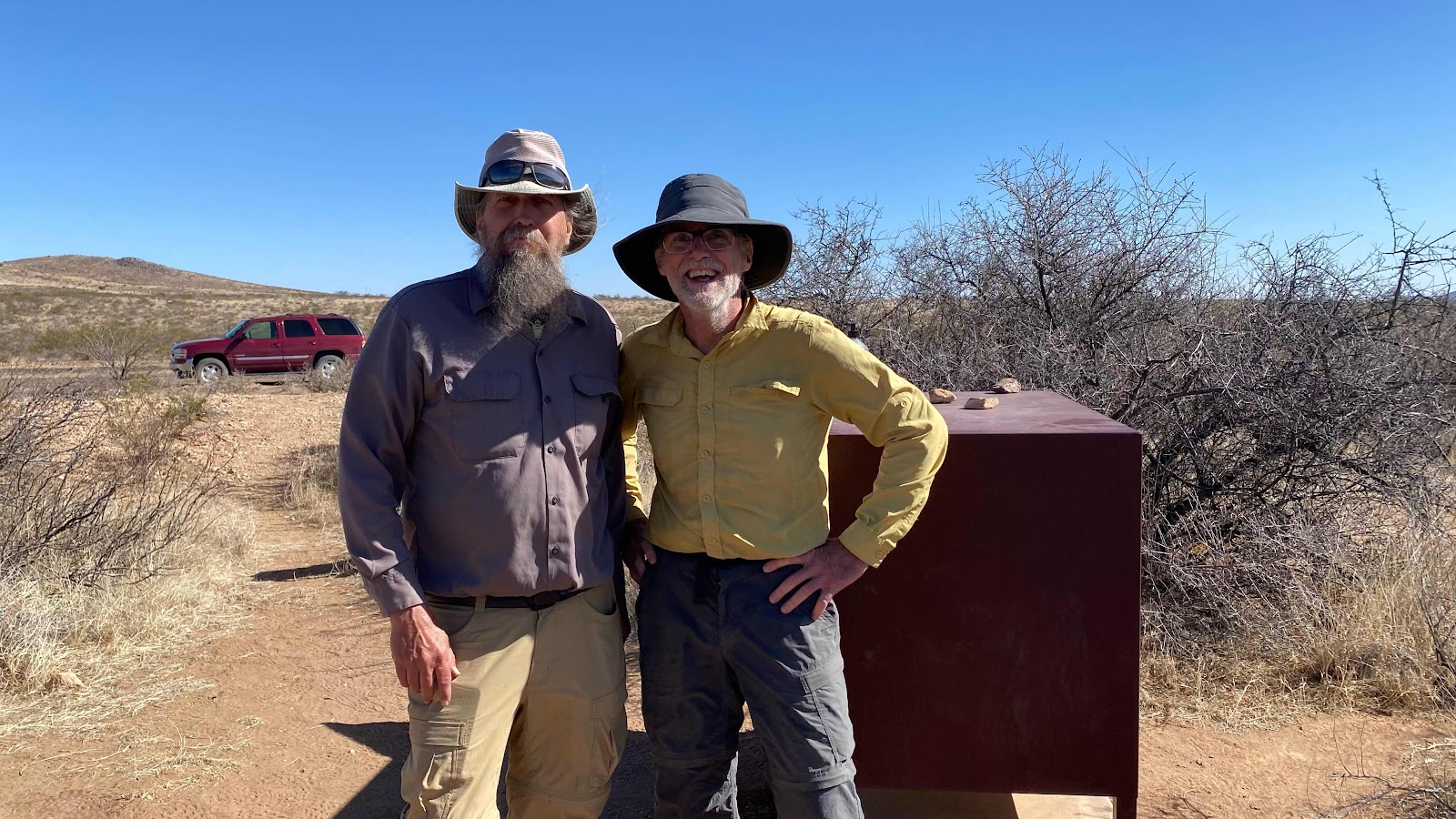

Radar and I at 3rd water cache, his vehicle in the background. 
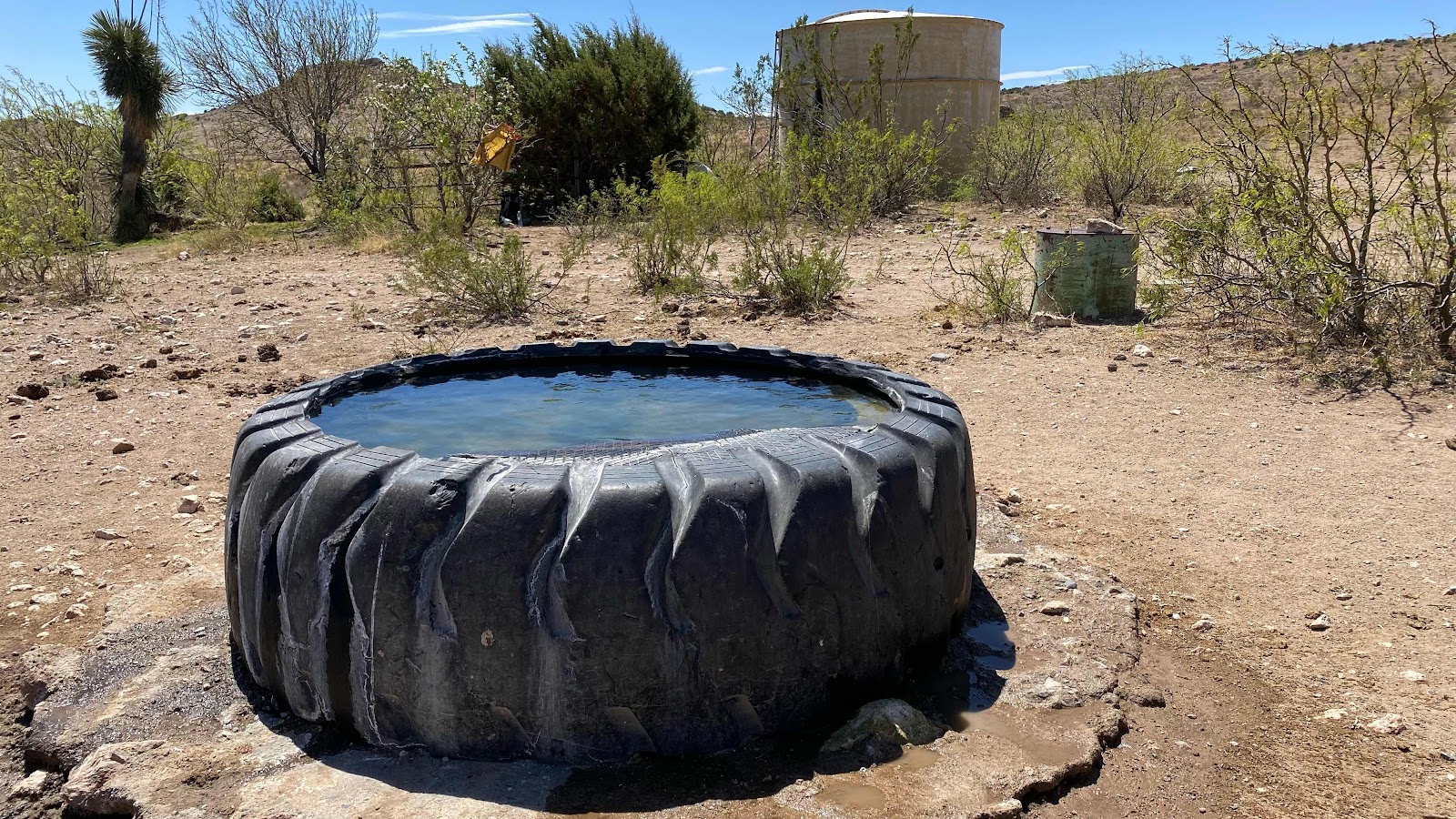

Tire water trough for livestock with large storage tank in the background. My drying yellow shirt can be seen hanging in the bushes. 
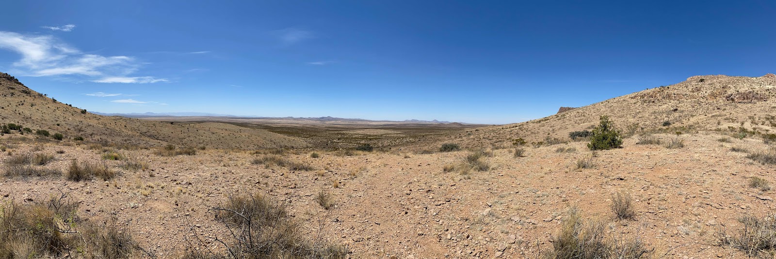

View of the desert from the saddle. 
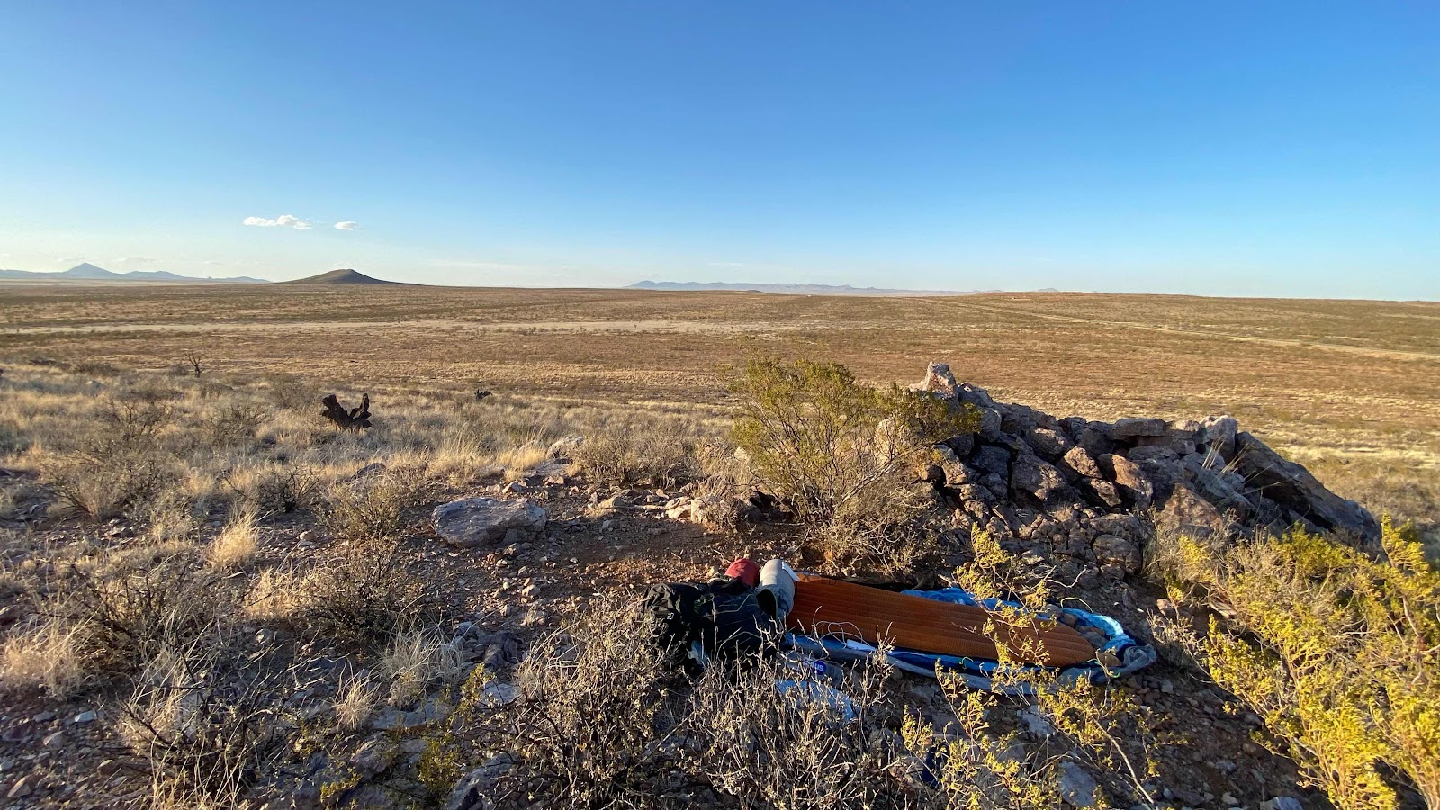

My sleeping spot for the night, tucked in away from the brunt of the wind, the desert expanse below. 

Sunday, April 10, 2022

Day 2 - Sunday, April 10, 2022 - MP 17.5 to MP - 35.4. Miles - 48,288 steps - 18.9 Vert Up - 902’ Vert Dwn - 619’
Wind. Lots of it. Weather service warning about it. It had blown all day yesterday but it really got after it once the sun went down. Everyone suffered all night long with tents flapping wildly in the wind, hitting us as we tried to sleep, making so much noise we couldn’t sleep. And if it calmed down for a few seconds it lessened the noise so you could hear the next gust coming, sounding like a freight truck roaring over the landscape. Lighthouse had ear plugs so he got a bit of sleep. I slept off and on, but that is usual for me. D’Anne says she didn’t sleep at all. 

I had mentioned to the group that I liked getting up about 5:15am and hiking as the morning light in the east was just starting. Trudge and Lighthouse thought that sounded okay. D’Anne wasn’t too enthusiastic. I set my alarm for 5:15am and when it sounded I glanced over and saw Lighthouse and D’Anne had their headlights on and were rustling around. I ate my granola breakfast as I packed and was ready to go by 5:45. D’Anne was up and packing but the high winds made it nearly impossible for her to get her tent and ground tarp folded properly. Lighthouse and I assisted and we were packed and on the trail by 6:00am. 

The wind continued to blow, but it did not impede our pace. Trudge and I walked the first 4 miles together, comparing lives and getting to know each other. It was 11 miles to the next water cache, 9 of it on gravel roads. This is the same road we were driven to the border on yesterday. Our route left that road just as today’s shuttles came round the corner. 

We reached the water cache about 9:15am, spent 20 minutes resting and filling water, then shouldered our packs for the 13.7 miles to our destination, a water tank just off the trail that comments in the water report said had good water. There are four of us, D’Anne, Trudge, Lighthouse and me.  The rest had slept a little longer. 

We leapfrogged each other continuously for the

next few hours, sometimes following the CDT signs, sometimes following Guthook and sometimes walking trail or roads. 

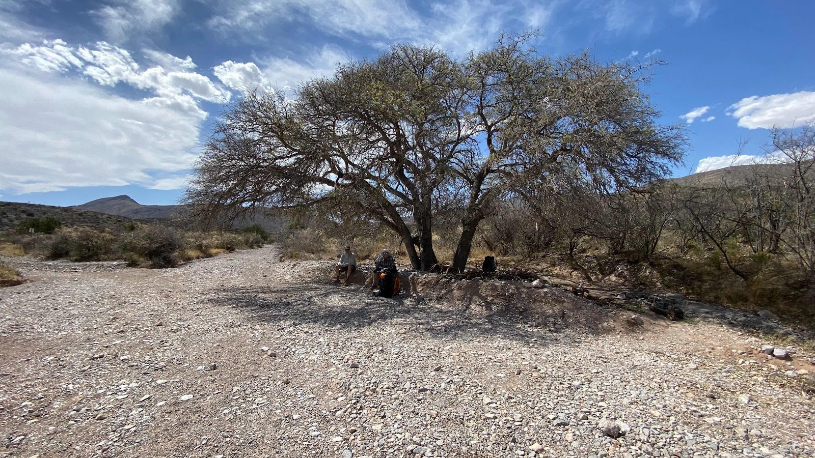
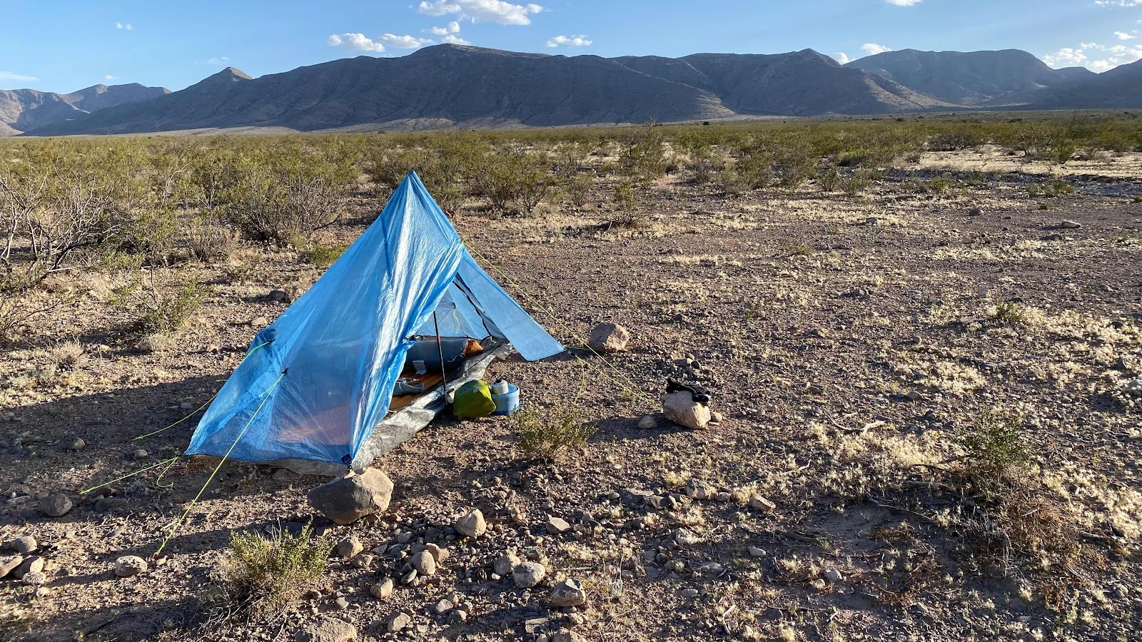
Three miles short of our destination we came upon a large tree casting glorious shade with 7 - 5 gallons jugs of water. I was the last to arrive. Trudge had already left for the water tank, D’Anne and Lighthouse were resting in the shade. I suggested we stay here. There were many flat places to camp and there was water. Decision - stay. We surveyed the area looking for sheltered places to pitch our tents thereby avoiding a repeat of last night’s wind fiasco. I parked mine in a grove of tree on actual vegetative duff. Lighthouse and D’Anne found a sandy spot out of the wind 30’ away and pitched theirs. 

This all happened between 2:00pm and 4:00pm, giving us a long, restful, afternoon, something everyone needed. 

Magic Mike showed up about 4:00pm having taken the actual trail rather than walking the road. He found the trail not brushy as reported to us by our drivers and in his opinion superior to the road walking. However, I noticed many scratches on his legs. 

I relaxed in my tent as it quietly sat tucked in the bushes, no flapping. I am a bit fatigued, but am happy that I have no blisters, no sore muscles or joints and my Plantars is behaving itself. I will be happy to get the first three weeks completed and start to get in shape. 

I found I have cell reception if I stand on the hill above camp. I had reception earlier today and was able to call Sally and Andy my resupply manager. This is how I am able to post these blogs. 

Analysis: Awesome!  So glad to be out here!  So missing my wife, kids and grandkids and friends. Phone calls and texts will have to do. 


Those are the Hatchet Mtns we were viewing from a distance. Now we are past them, heading north. 


D’Anne and Trudge approaching the second water cache. 


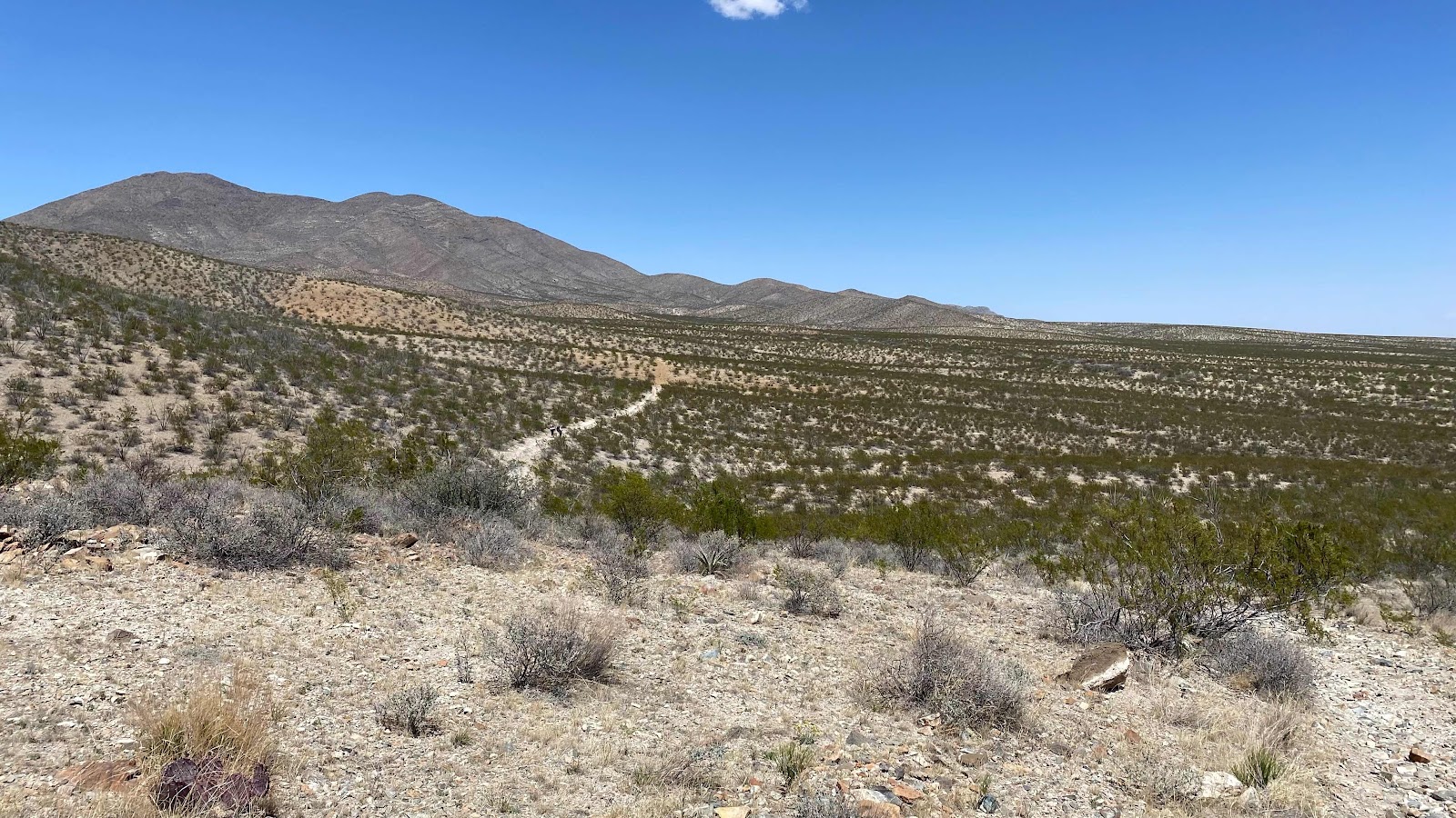
That road is the trail


Tucked in the trees to avoid the wind. 


Day 1 - Saturday, April 9, 2022 - Mexican Border (Crazy Cook) to MP 17.5 Miles - 48,101 steps - 18.27 Vert Up - 997’ Vert Dwn - 755’

What a great start to an epic adventure!  I couldn’t sleep last night. Turned on NPR on my phone at 11:00pm. The only way I could tell I had slept was by the missing gaps in the radio broadcast I missed when I dozed off. I’m not sure if I was apprehensive, excited or just not tired because all I did was ride in cars and busses all day and eat. Whatever the reason, the lack of sleep did not hamper my performance today. 

The drive to the start of the CDT is 85 miles from Lordsburg. The first 50 miles are covered in 50 minutes. It takes over 2 hours to go the last 35 miles. The road is gully washed, rutted and extremely rough. But what a hoot!  

There are six of us in a rented 4WD dodge pickup. Our driver, Tim from El Paso, looks like a band member from ZZ Top. We are zooming at 80mph down the freeway (I-10) then 50 to 60 mph on two lane paved roads, then creeping at 5-15 mph as we bounce down washed out roads. All the while country music pouring from the radio. Tim did a great job of pointing out where the water caches were, pitfalls and promises of the route and cautionary tales, talking loud enough to be heard over the radio. 

We met in Lordsburg at 6:15am at 207 Shakespeare Ave. Tim loaded our packs into large plastic storage containers to keep them dust free while on the drive. We left for the border at 6:30am. There were five of us in the truck. Lee and Sue, a retired couple from Colorado in the back seat with me, Jean Bruno from France and Trudge from Huntington Beach, CA. We had a lively conversation the entire ride. Lee and Sue worked in the space program, Lee designing spaceship software and Sue doing data analysis on rocket engines for the Titan rockets. 

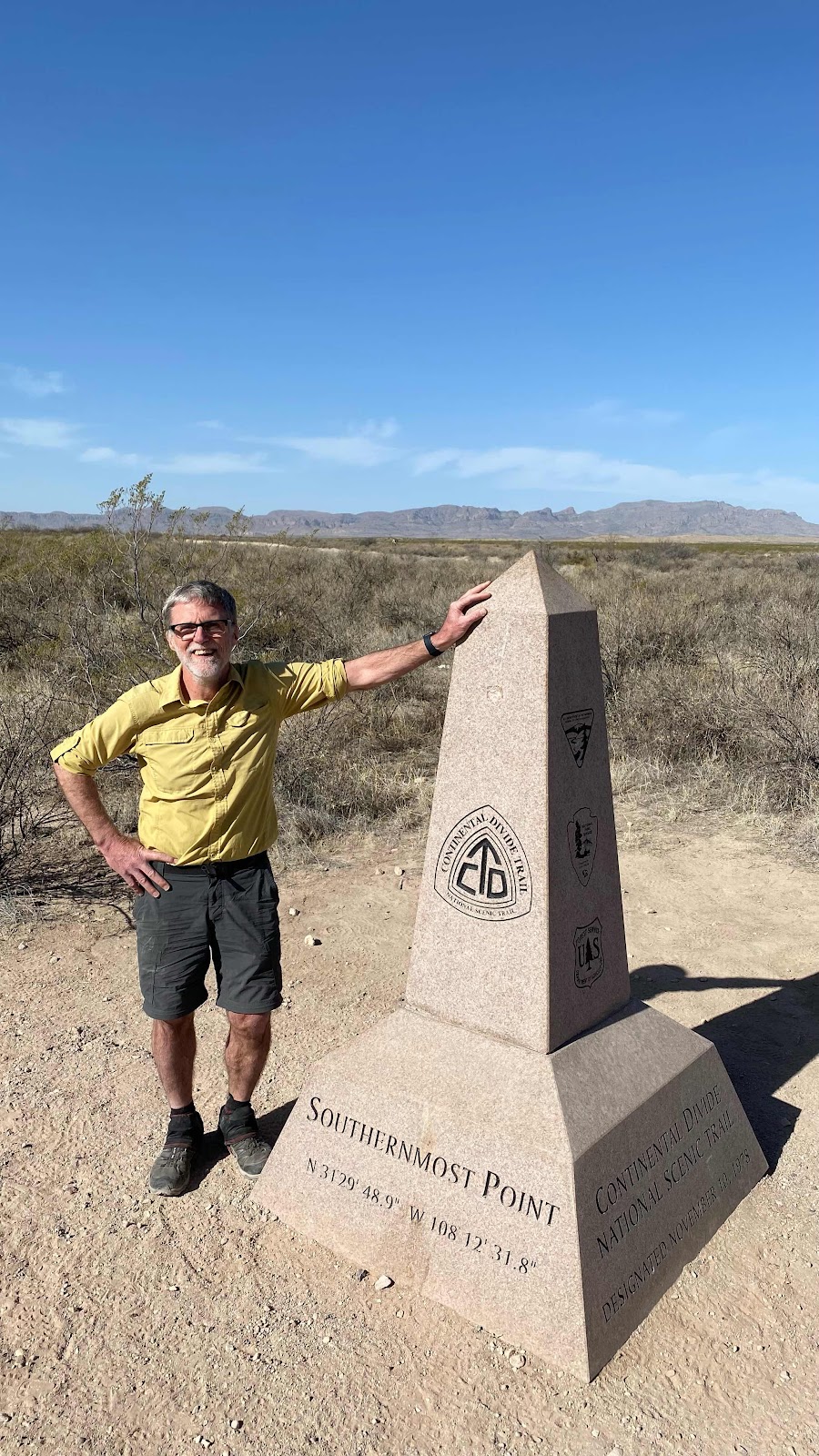
We arrived at the border at 9:35am. D’Anne and Lighthouse were still there, having rode an earlier shuttle. We snapped some photos at the monument and they took off. My fellow shuttle passengers posed for photos, then I left about 15 minutes behind Lighthouse and D’Anne. 

Our destination was 14 miles away, the first water cache. We had driven by it on the way in, even stopping to inspect its contents. The trail rose steadily for the first ten miles, yet only gained 1000’ in that distance. My worrisome Plantars Fasciitis was talking to me for the first three or four miles giving me a little concern, but it calmed down as the day wore on and was soon no louder than all the other background pains that come from hiking 18 miles on the first day. 

The vegetation was low scrub brush for as far as we could see. The temperature was pleasant most of the day, reaching a high of 85, but with a strong wind blowing it did not feel that warm. 

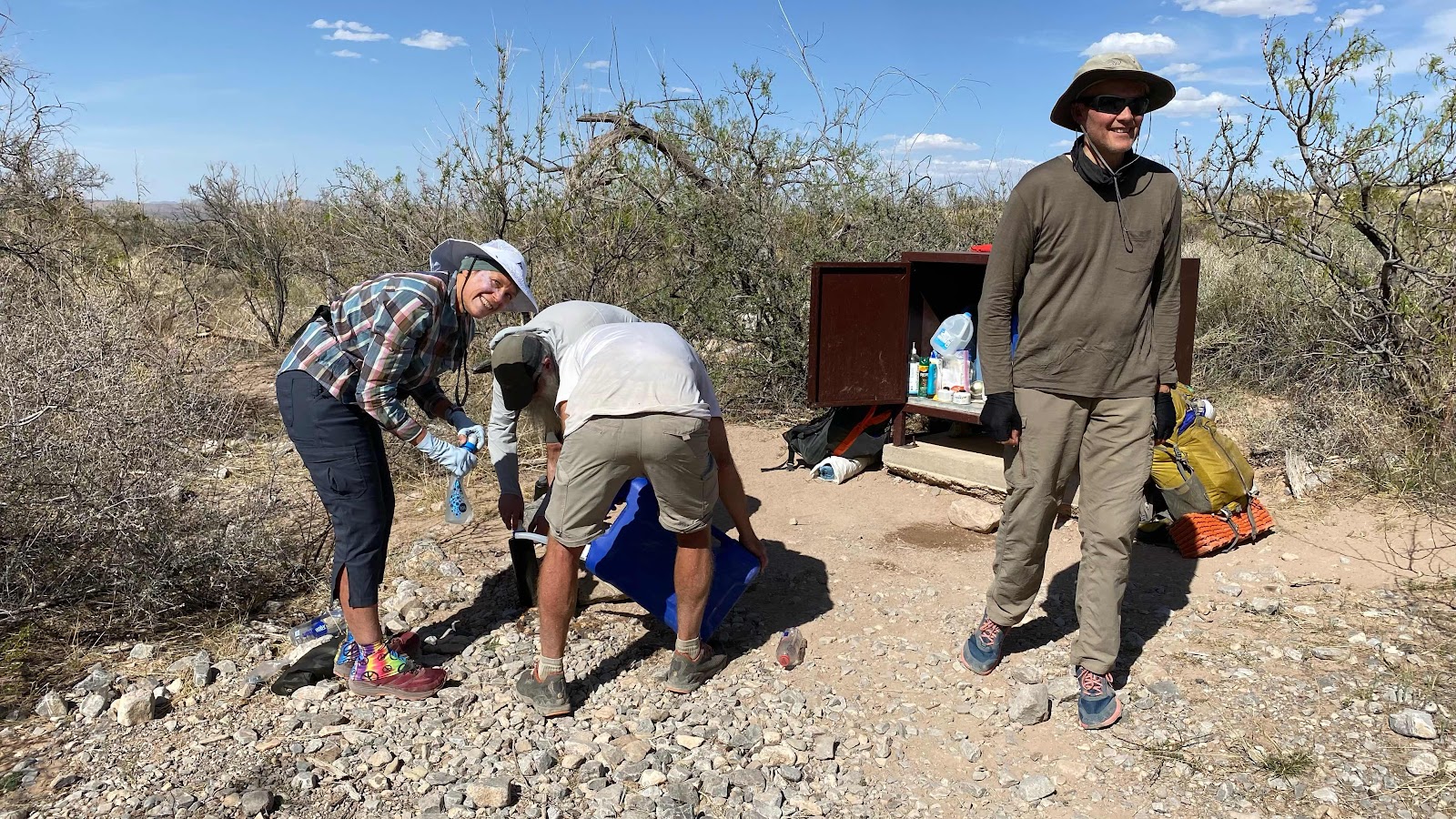
As you would expect, water management is everything. We had 14 miles to get to the water cache. If one figures a liter per 5 miles, that would mean a three liter carry, 6.6 pounds of water. All of us started with 4 liters for a margin of safety. Nearly all of us had an unused liter by the time we reached the water cache. 

I caught up with D’Anne and Lighthouse at about mile 8.5 and I walked with them the rest of the way to the water cache. Lee, Sue, Jean Bruno and I leapfrogged each other all day. 

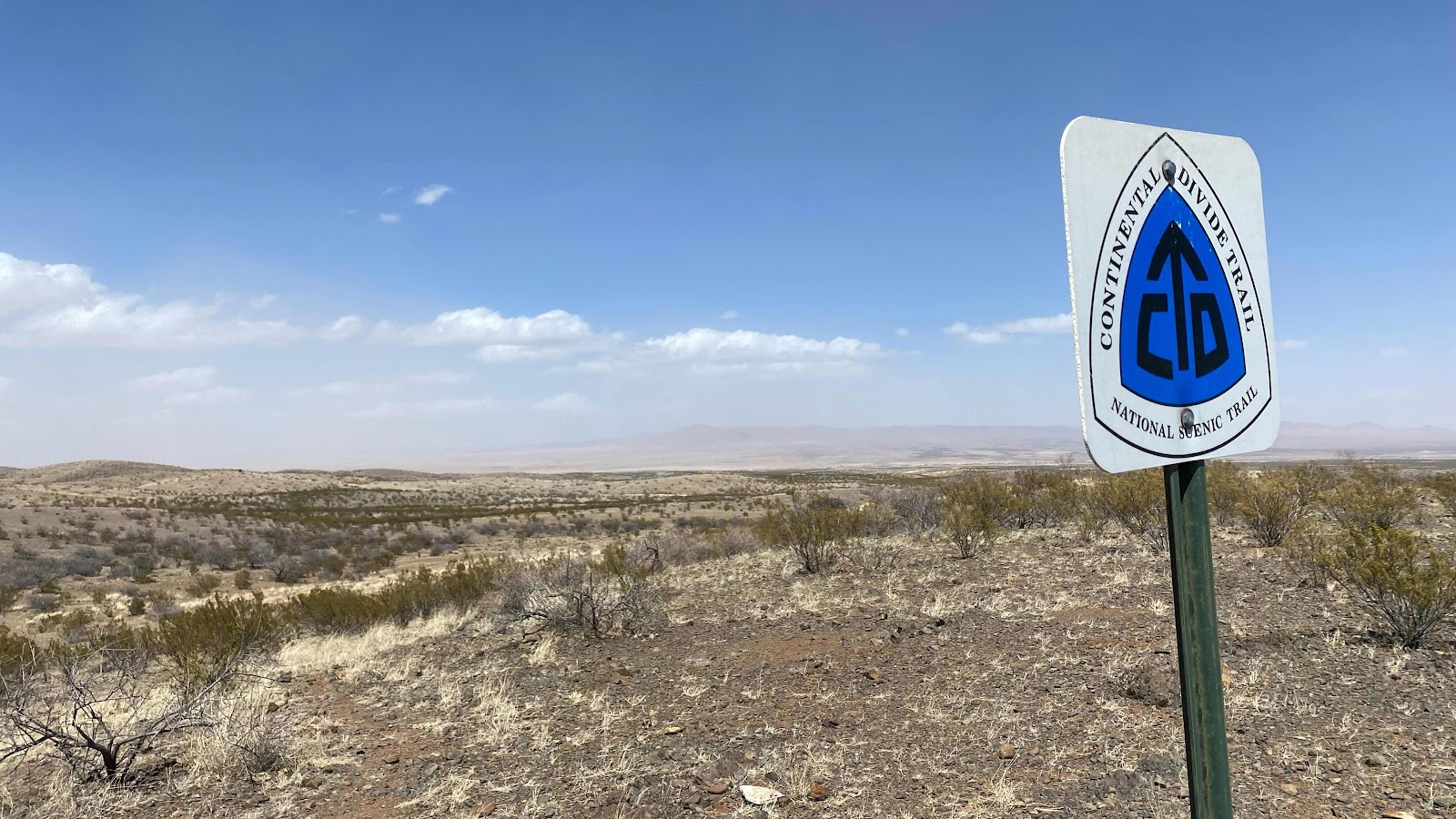
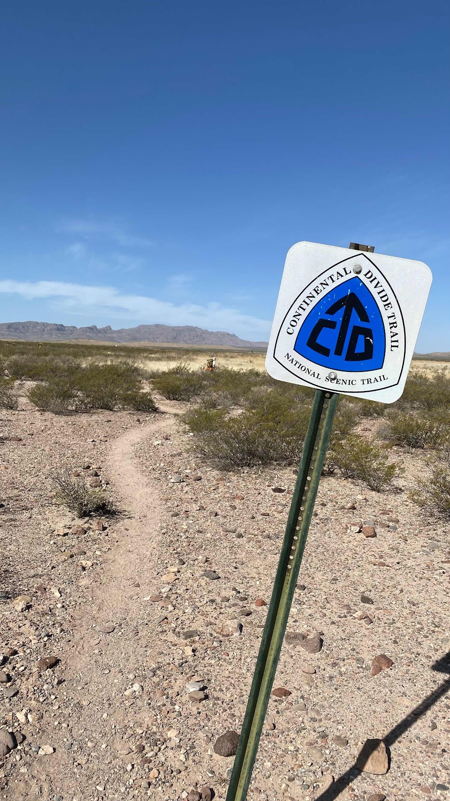
This portion of the trail is open range cattle ground. The trail is hard to follow because there are so many animal trails. Luckily, the CDTC has posted their emblem signs on tall fence posts all along the route to guide us. 

The original plan was to camp at the water cache. After much discussion, we decided to go another three miles to a camping spot I had seen while driving in and had bookmarked on my phone in Guthook. As it turned out the 3 miles was as the crow flies. As the hiker walks it was 3.5. Everyone in the party noted the discrepancy to me as we were all tired and footsore. 

You might be wondering how I had seen a campsite from the truck on the drive in. Turns out, this portion of the trail is routed up on the slope above the road and parallels it, but our driver told us the trail was so overgrown that we really didn’t want to walk it. Every plant in the desert is spiny and prickly. Someone had tried to walk it a few days ago and had lacerated first their bare legs and then their pants. For that reason we are walking 11 miles of the road we drove in on rather than hiking the trail. While on the subject of road walking, of the 18 miles we walked today, all but about 2.8 was on gravel roads or down washes that looked like gravel roads without the ruts. 

Once we found the clear spot to camp along side the road we each pitched our tents, cooked our dinners, tended our feet and bodies and went to bed. Of the nine that rode to the terminus this morning, seven are camped here tonight, 5 men and 2 women. Not a single one of us is under 50, and only 2 are under 60. Where are all the kids?


Loading up the truck in Lordsburg getting ready for the drive to the border. 


45 minutes into the drive we stop at Hachita for last minute needs. I got a small fuel canister. I think the store and the CDT have an agreement to bring customers to the store. 


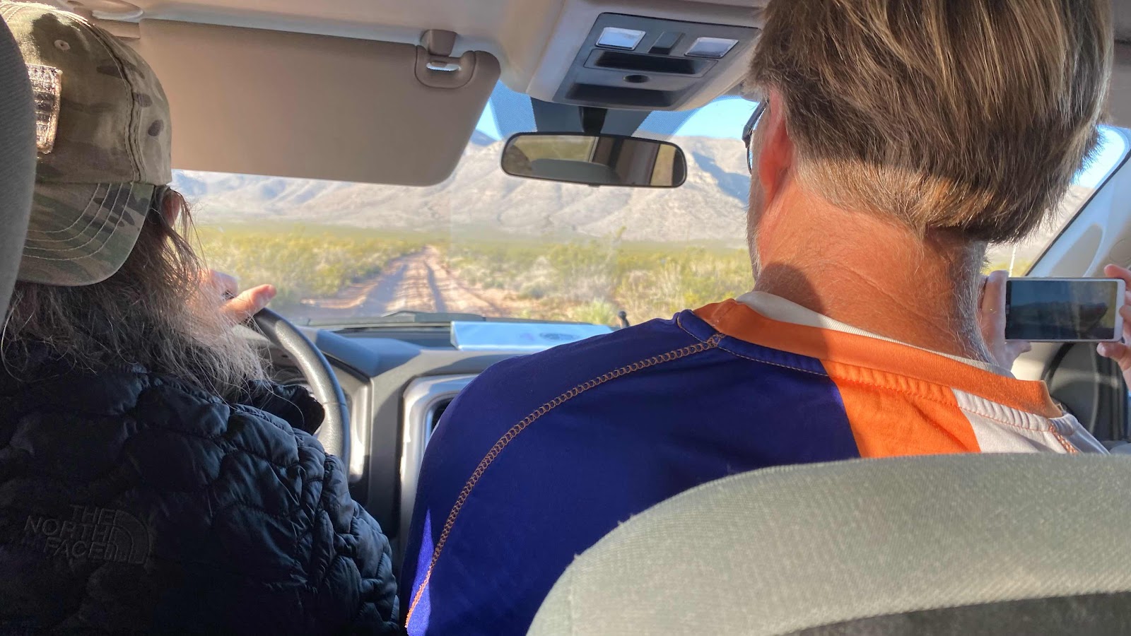
You can see the dirt road through the wind shield. Rough and slow going. 


Tim, our shuttle driver at the Southern monument. 


The border fence between Mexico and the US at the southern terminus of the trail. 


D’Anne and I at the southern terminus. 


Me at the southern terminus. 


The trail, the trail signage and the Hachet Mountains in the background. 


16 of the 18 miles we walked the first daywere on double track roads. 


The only shade tree of the day-about mile 12.5


Lighthouse, myself and D’Anne enjoying the shade


Filling water bottles at the first water cache (mile 14)


First night’s camp


Blue tent is mine, D’Anne’s is brown, Lighthouse’s is the green one. 


Friday, April 8, 2022

Friday, April 8, 2022 - Tucson to Lordsburg

 9:20am

Sharon just dropped me off at the Greyhound bus terminal in downtown Tucson a few minutes ago. I am seated in the lobby awaiting my bus. The feeling is serene and calm. I am on my way. The past months of preparation both for this trip and for my absence at home are behind me and 3000 miles of trail lie ahead. It is such a feeling of comfort. Perhaps I was born to be a hobo. I have my “bindle” with everything I need sitting next to me, a clearly defined goal ahead of me and supportive and loving friends and family behind me. What more could a person ask for?  For the moment, the nervousness that has defined my emotional state the past months is absent. I am at peace. I cannot say enough kind words to express my gratitude to Arle and Sharon for their kindness, generosity and friendship. They welcomed me to their home, drove me all around the area showing me the sites and made feel totally at home. Their friendship is truly a gift. If you read this Sharon, Thank You!

Suspicious people at the bus station. They lock the bus station doors all day long. You have to knock on the door to be let in, and only if you have a ticket or are going to buy one. But still, suspicious people. They are carrying packs and trekking poles. I haven’t arrived in Lordsburg yet and I already know two folks I will be sharing the trail with, Lee and Sue from Colorado. They are only doing the New Mexico section and will be on my CDTC shuttle bus tomorrow morning with me. Yes, I am doing the trail by myself, but no I am really not. Two trail buddies already. Lee is a hiking/scrambling instructor with a group in Colorado. He is a wealth of information regarding the Colorado Rockies. I will pick his brain endlessly while hiking together. 


10:45:

The bus is loaded and we are ready to go. The bus is exactly what you would expect on a Greyhound. It is packed and was nearly an hour late. 2.5 hours to Lordsburg. 


2:40pm:

After two and a half hours rolling through desert, I step off the bus into Lordsburg along with Lee and Sue and Anne and Jacque Charles, a couple from France. I walked with them to the Econolodge. Their English is very poor, Anne’s better than his. They are staying two nights in Lordsburg. Tomorrow thy will pack food for the next 15 days of the trip-up to Silver City. They will leave a day behind me so it is likely I will not see them again. He is quite heavy as is his pack and I suspect will struggle from the get go.  I emphasized to contact me if they needed any help and gave them my room number. 

I bagged up my stocking hat, rain gear, gloves and pack cover and delivered it to the front desk to hold until I return in five days. Temps are high and no chance of rain. North of here and in the days ahead it gets colder and they will be needed, but no use carrying them for the first leg. 

If there was a shuttle to the border available right now I’d jump on it. I am ready to go. But, that doesn’t happen until tomorrow morning. So I’ll laze around Lordsburg today and begin in the morning. 


A word about this blog. I can only post it when I have signal and I don’t know how often that will be. It may go days without an upload then suddenly have a bunch on entries. I plan to write everyday, but uploading depends on getting getting a signal. 

Thursday, April 7, 2022

Thursday, April 7, 2022 - Sahaurita

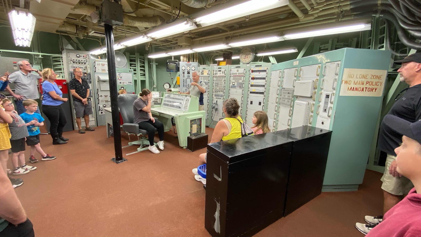
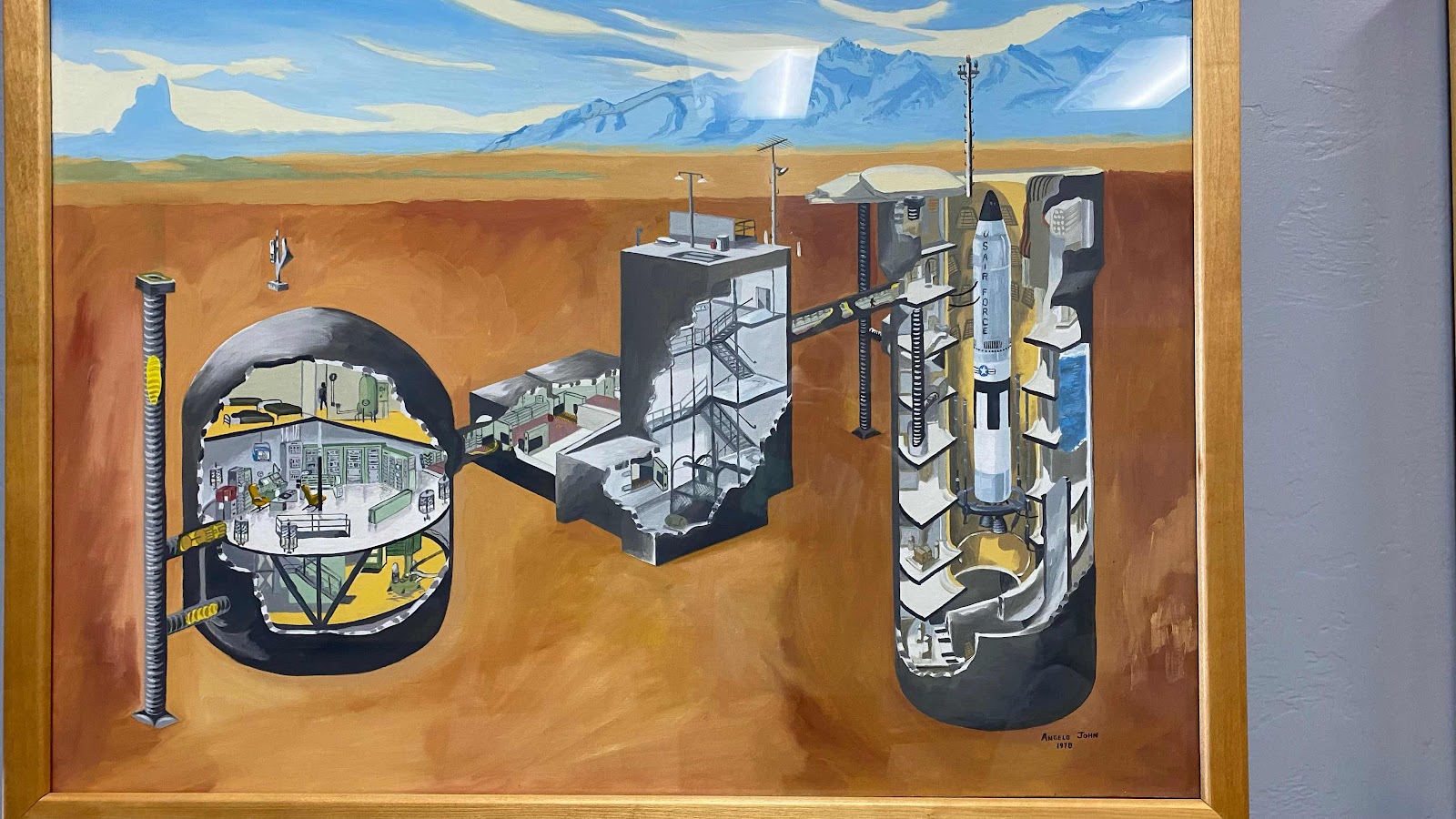
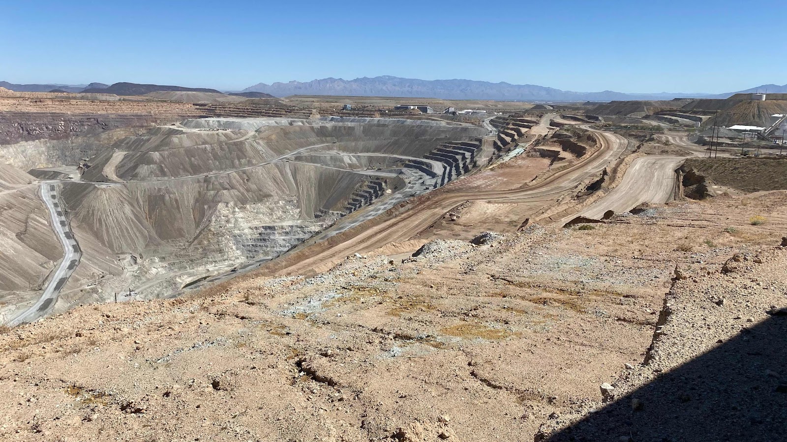
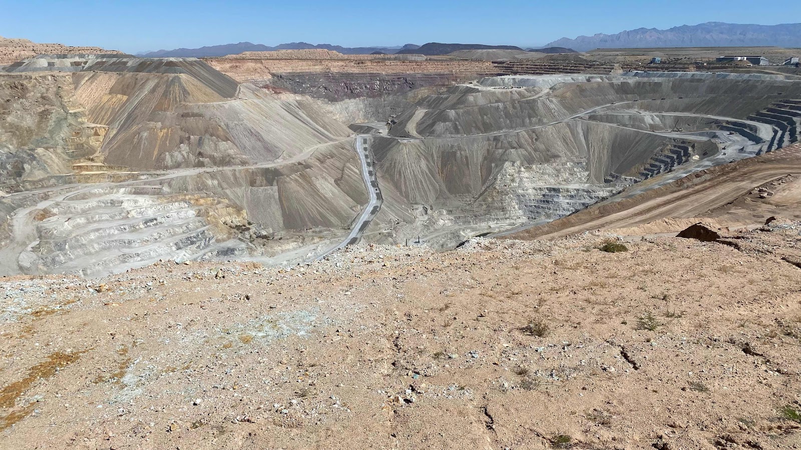
I slept in!  All the way to 6:45am. I got up, showered and had breakfast with Arle and Sharon. Sharon had scheduled two tours for me today, one at the asarco open pit copper mine and one at the decommissioned nuclear Titan Missile Silo. The first was about 5 minutes north of their house, the other about 5 minutes south of their house. Both were fascinating and and scary. The titan missile’s nuclear warhead was the equivalent of 9 million tons of TNT and when detonated could blow a hole in the earth 500 feet deep and two miles in diameter. The asarco mine was a hole 2.5 miles by 2.5 miles and 1400’ deep. One a human lives disaster, the other an environmental disaster.

We stopped at Big 5 to buy a fuel canister for my stove, then drove up Madera Canyon to do some bird watching. This area is world renowned for its bird watching due to its position on the migratory path of many bird species. Then, it was off to dinner with Vince and Leslie Konigsberger. Vince, a great friend, was the counselor at Toledo High School for most of the time I taught there. We had a great dinner and lively conversation reminiscing about our teaching days and discussing what life could look like in the coming years. Vince and Leslie just purchased a house in the area and are debating whether to make it their permanent home or to continue snow birding.  

At 7:00pm we headed back to the Lyons. I find myself quite tired. Is it the heat? (90º today) or just all the activities? Regardless, I feel a million miles away from the trail. Tomorrow morning I catch a Greyhound Bus to Lordsburg, stay at the Econolodge, then early Saturday morning I take a shuttle to the border and begin the trek. Temperature Saturday is supposed to be in the high 80s, a tough transition from the 50º weather I am used to in Toledo, but that is the nature of thru hiking. You can’t predict the weather, so you just adapt, push thru and persevere. An amazing day today, Arle and Sharon are wonderful hosts. We will see what tomorrow brings. 


Control room at the Titan Missile Silo. This is the place where the simultaneous turn of two keys ends the world. 

The missile in the silo. 

A diagram of the below ground Missile station. 

ASARCO open pit mine. One of many in the area. 

Another view of the pit. Can we try to reduce our demand for copper, please?