Thursday, April 28, 2022

Day 12 - Wednesday, April 20, 2022 - 18.9 miles - 44,264 steps - MP 11.9 to MP 29.7 on the Gila River Alternate Route - Vert Up - 3444’ Vert Dwn - 1884’

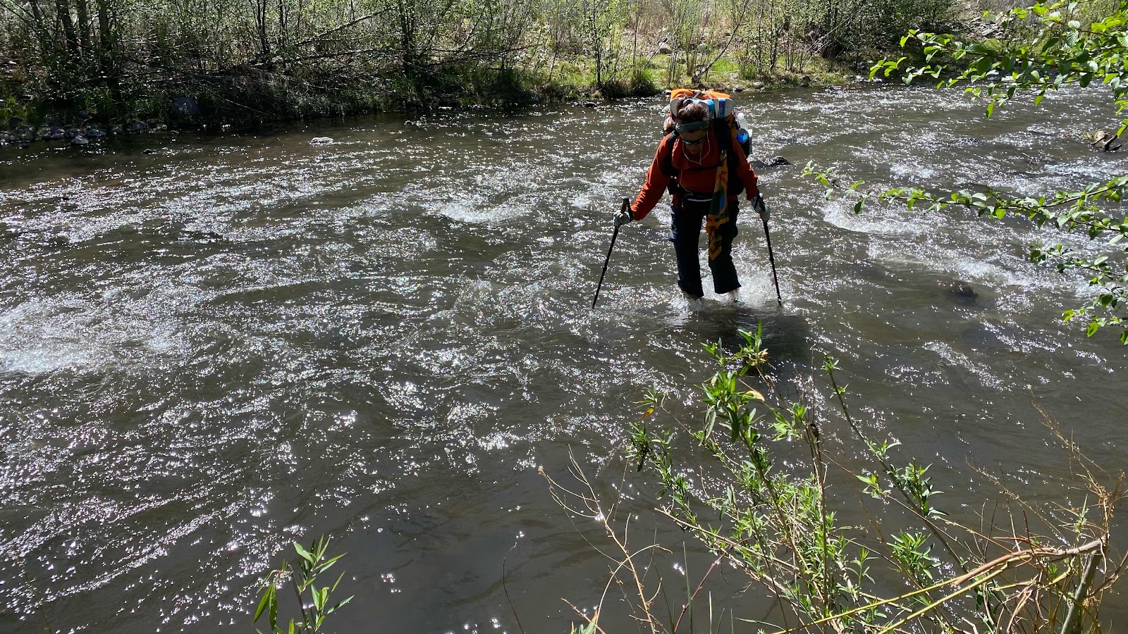
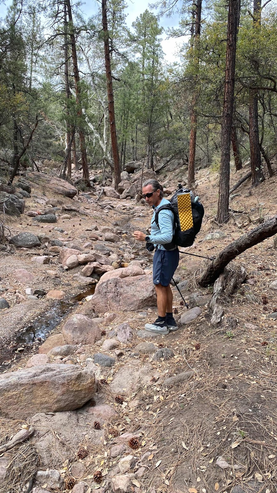
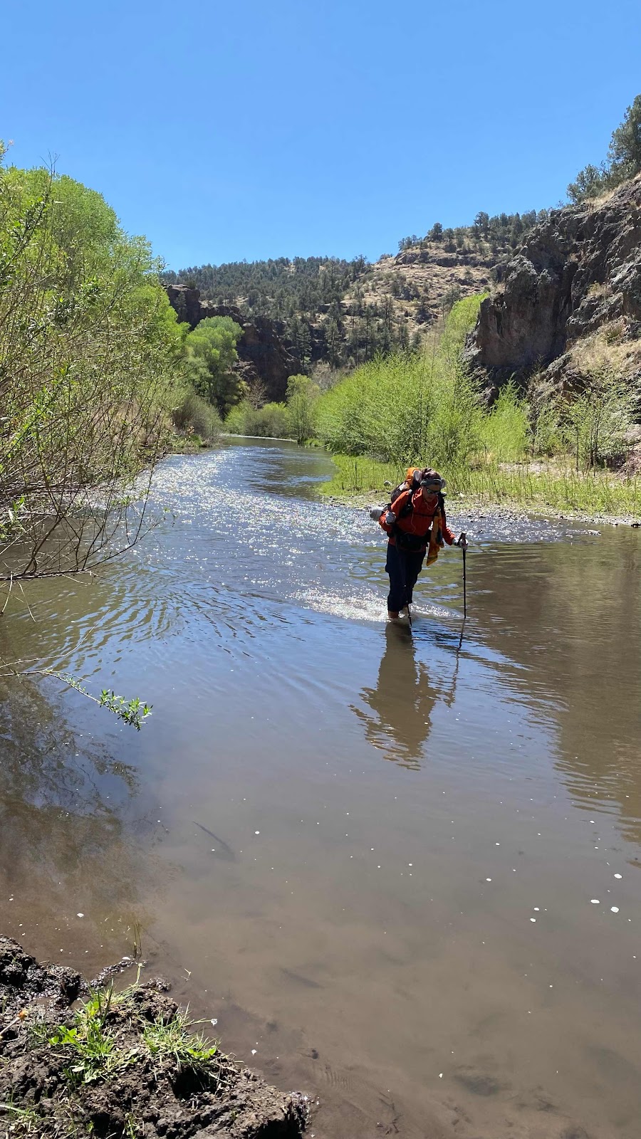
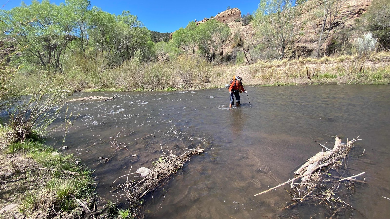
Today is the coolest!! Ever since I started planning to do the CDT I have been anticipating this day. Why?  Because today we enter the Gila (pronounced he-la) River Valley and follow it for the next sixty miles! The cool part?  The river winds up this somewhat narrow valley between rock walls on the east and west. It floods every rainy season and the floods wipe out the trail. Soooo, the next 60 miles we are working our way up the valley with only sketchy or no trail and since the river winds it’s way down the valley, first against the left valley wall, then the right valley wall the river must be crossed multiple times. Bridges? Nope. Ya gotta wade the river. How many times?  Today it took 25 crossings to go 7 miles! The shallowest crossing is somewhat less than knee deep. The deepest was up to my crotch. The water is swift, but with trekking poles balance was no problem. 

We only did seven miles of the Gila River today and are looking at 10 tomorrow to get to Dr. Campbell’s Outpost where I have sent a resupply box. They don’t open until noon.  This gives us tomorrow morning to traverse and wade the 10 miles. 

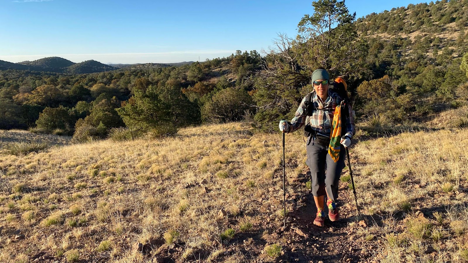
To get to the Gila River there were 10 miles to cover. A steep climb at the beginning followed by some steep descents all thru beautiful stands of pine and juniper. Most of it was trail, maybe a mile or two of dirt road. The weather was very cool in the morning with that wind continuing in the tree tops with a warm to hot afternoon in the Gila River Valley. 

About 3 or 4 miles up the valley Dallas was looking up at the scenery as she walked on the nearly non-existent trail. She stepped onto an edge of dirt and rolled her ankle, bad enough to sprain it. She said it hurt quite badly, but with no choice but to keep walking we kept moving. We have food through lunch tomorrow. We have to keep moving. 

We found a beautiful wooded area with deep pine needle and grassy duff to camp on at about 3:45pm. After tents were up and water from the river gathered she took off her shoes for the first time. Her ankle was swollen as expected. She kept it elevated for some time. Ice would have been nice, but . . .

A dinner tonight?  As part of my prep for the trip I made multiple batches of spaghetti sauce and dried in it in the food dryer then ground the dried residue to a powder. Added to angel hair spaghetti and dried broccoli, brought to a boil and let sit in my cozy for half an hour and what a meal!  I made about a quart of it and relished every bite. I also bring instant pudding. I made a cup of that for desert. Chocolate. So good. 

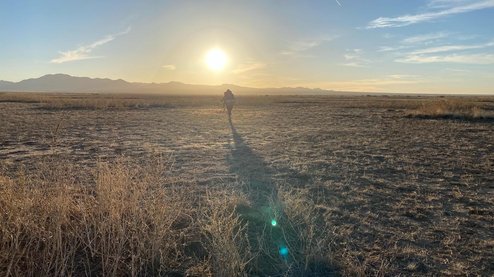
The sun set on the rim of the valley about 6:10pm, bringing relief from its heat. It took another hour for the temperature to start to drop. The evening was comfortable as I rested in my tent, recovering and gathering strength for tomorrows trek. I am right on the schedule I hoped for. 

In the coming days our route takes us further up the Gila then onwards towards Pie Town, NM. I suspect I will not have phone nor data services for a week. I will post when I get signal again. 
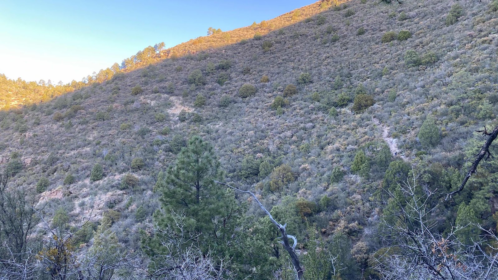


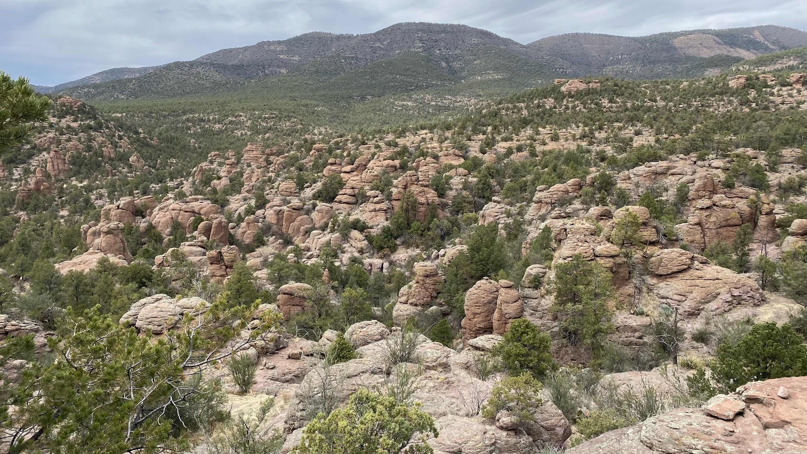
You can see the trail climbing the ridge to the saddle to the left. Fix Mike is visible as a dark speck. 


Down in the trees. Very serene and pretty


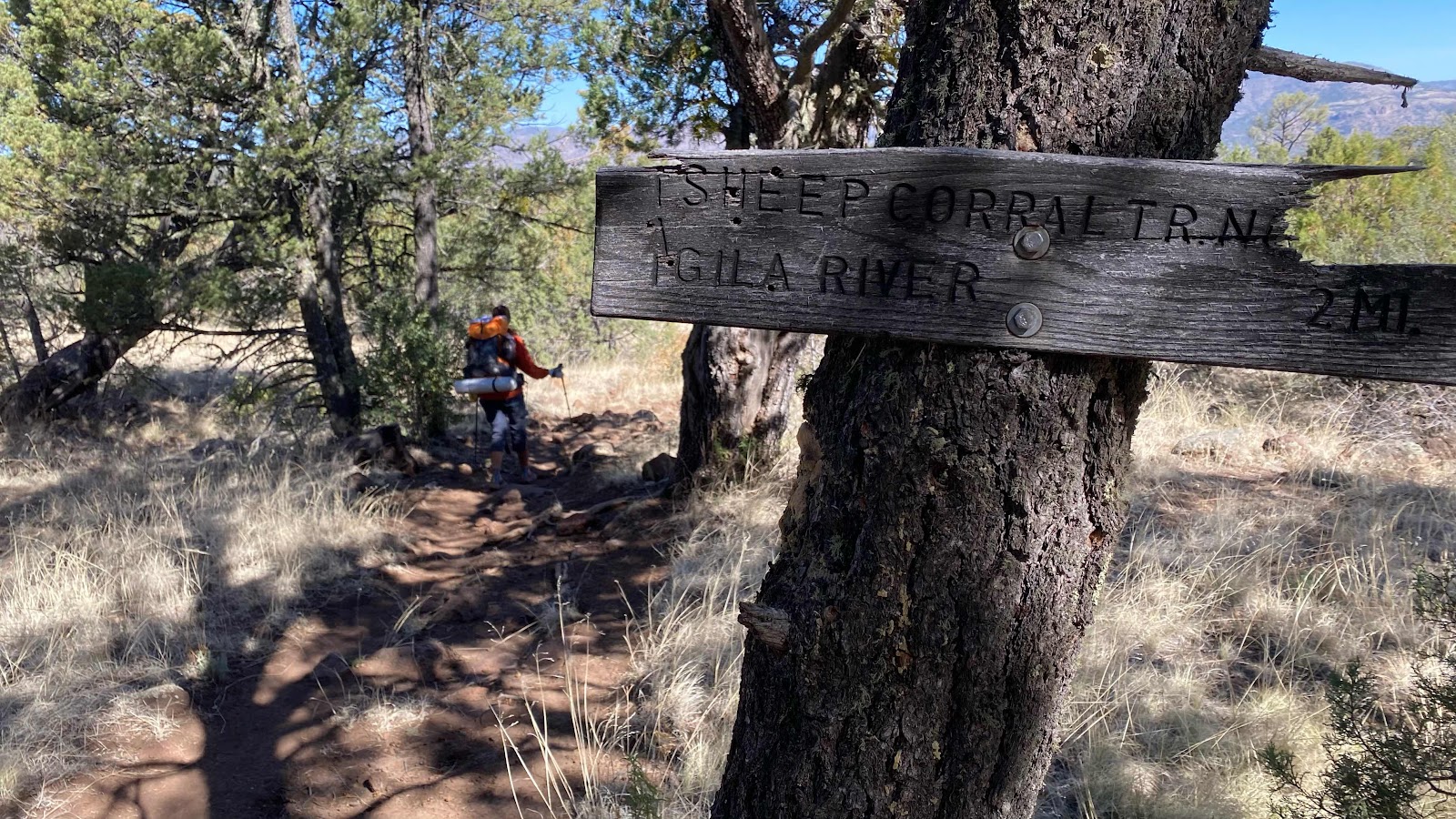
2 miles to go to the Gila River and about 1500’ of descent. 


Dallas crossing the Gila for the first time. 


Crossing again . . . 


And again. . . 


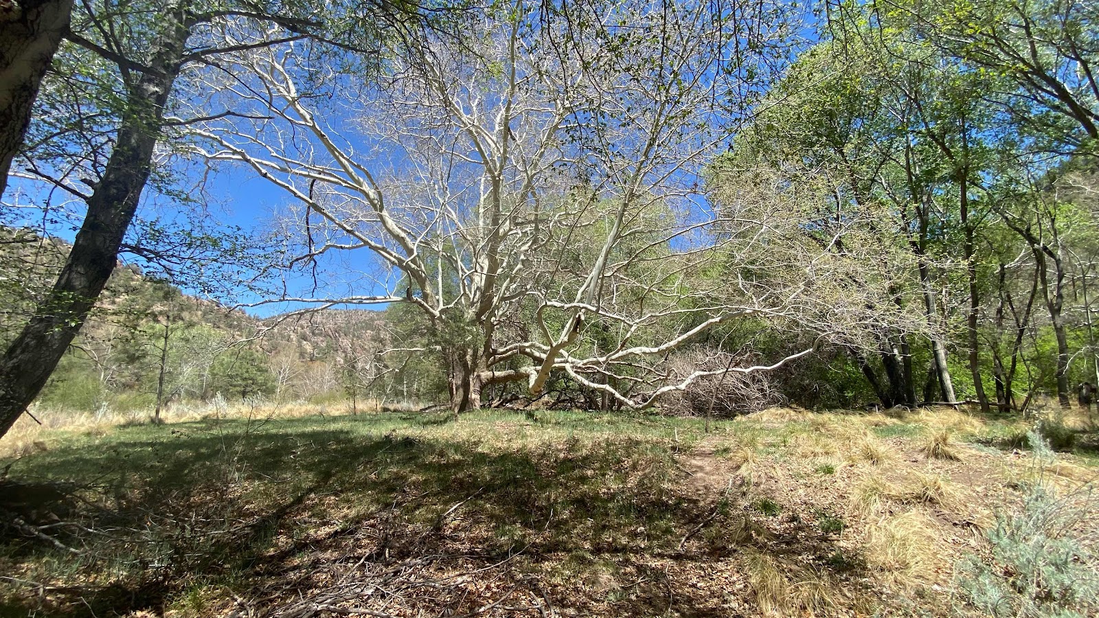
These beautiful trees are super common in the valley. Got to find out what they are. 


Camp for the night


. 

Thursday, April 21, 2022

Day 11 - Tuesday, April 19, 2022 - 20.0 miles - 48,589 steps - Triple Crown Hostel to MP 11.9 on the Gila River Alternate Route - Vert Up - 2846’ Vert Dwn - 1752’

I like an early start. Puts the whole day ahead of you. It allows time to maneuver if something unexpected happens. The mornings are cold and crisp.  You can get a lot done before the heat of the day. But, this morning a coffee shop of unspeakable cuteness and amazing pastries opened at 7:00am just three blocks from the hostel. How could I resist a last great treat before hitting the trail. 

Magic Mike, Dallas and I were at their door at 6:50. They opened at 7:00, right on time. I had a cup of mint tea with a piece of coffee cake with chocolate chunks on top hidden underneath a crisp topping. Unreal!!

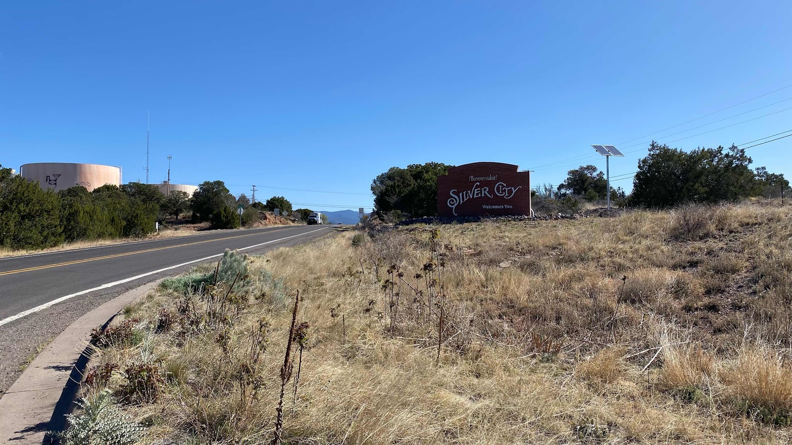
We were back in the hostel by 7:25  and on the road by 7:30 am. Literally on the road, as we had to navigate across Silver City’s streets to get to our start of the trail. 

Of all the mornings to get a late start, this one was perfect. It was cloudy the entire day, with winds blowing nearly the whole day. It was perfect walking weather. Any other day the sun is baking us by 10:00am. Not today. It was comfortable hiking all morning and afternoon. Did we plan this? Nope. Just our lust for one more pastries kept us late and we lucked out. 

The CDT is unfinished, so there are many options as to the route you can take. This morning we chose the Walnut Crk route as it was 7 miles instead of 12, but had us walking road for those 7 miles 

A comment about the CDT and roads. They call it a trail, but to date, more than half of what we have walked has been roads. Mostly dirt roads, but roads none the less. Here is an example. Coming into Silver City, the last 19 miles of “trail” was road, 13 of it paved highway. Leaving Silver City we walked 13.5 miles on roads, 5 of it paved. 32.5 miles of continuous road walking. There is a lot of road walking on the CDT. 

As we walked up the road, we got into a discussion of our pasts, what it was like growing up. Magic Mike opened up about his experience as the youngest of five, his father leaving his mother when he was in the second grade, all his siblings gone and his mother and his struggle to make ends meet. In spite of his early struggles he is well off and very generous. The last night at the hostel he gave his private room to two girls that would have been turned away and he slept in a bunk in the bunk room. Super nice guy. 

Saw our first rattlesnake of the trip. Right in the middle of the road. Not gonna move. We all gave him his space and walked around, although stopping to take a photo at our closest approach. It was kind of our snake day. We saw a king snake further in the day, and also about a three foot non-poisonous snake, a bull or a garter. 

Everyday water is an issue. It isn’t a problem, just something you have to pay attention to. We had 12 miles this morning to our first water, an actual creek with flowing water. I am sticking to my liter per five mile plan, although in the mornings I don’t approach that consumption due to the cold temps so I short myself a bit in the mornings. 

We were passing creeks or were along creeks after the initial 12 miles, so we didn’t need to carry water. I had a liter or less in my pack all day and did find water along the trail, right up to where we camped. We parked ourselves at the base of a 1000’ climb in a flat area in the trees, tall pines and shorter alligator junipers. The wind was blowing very hard, predicted gusts to 60 mph, through the tree tops causing them to sway in large circular arcs. Down on the forest floor there was air movement, but it was not windy. However, the commotion up above was delightful. 

I didn’t write in my journal that night. I had downloaded the movie CODA to my phone and I laid curled up in my sleeping bag in my tent watching it, taking a day off from blogging and enjoying the background wind noise overhead as the temperature dropped. Enjoyed the movie very much. Finished it by 9:00pm and was asleep within ten minutes. 


Tranquilbuzz coffee shop, great atmosphere. 


Magic Mike orders at the window as Dallas chews a mouthful of muffin. 


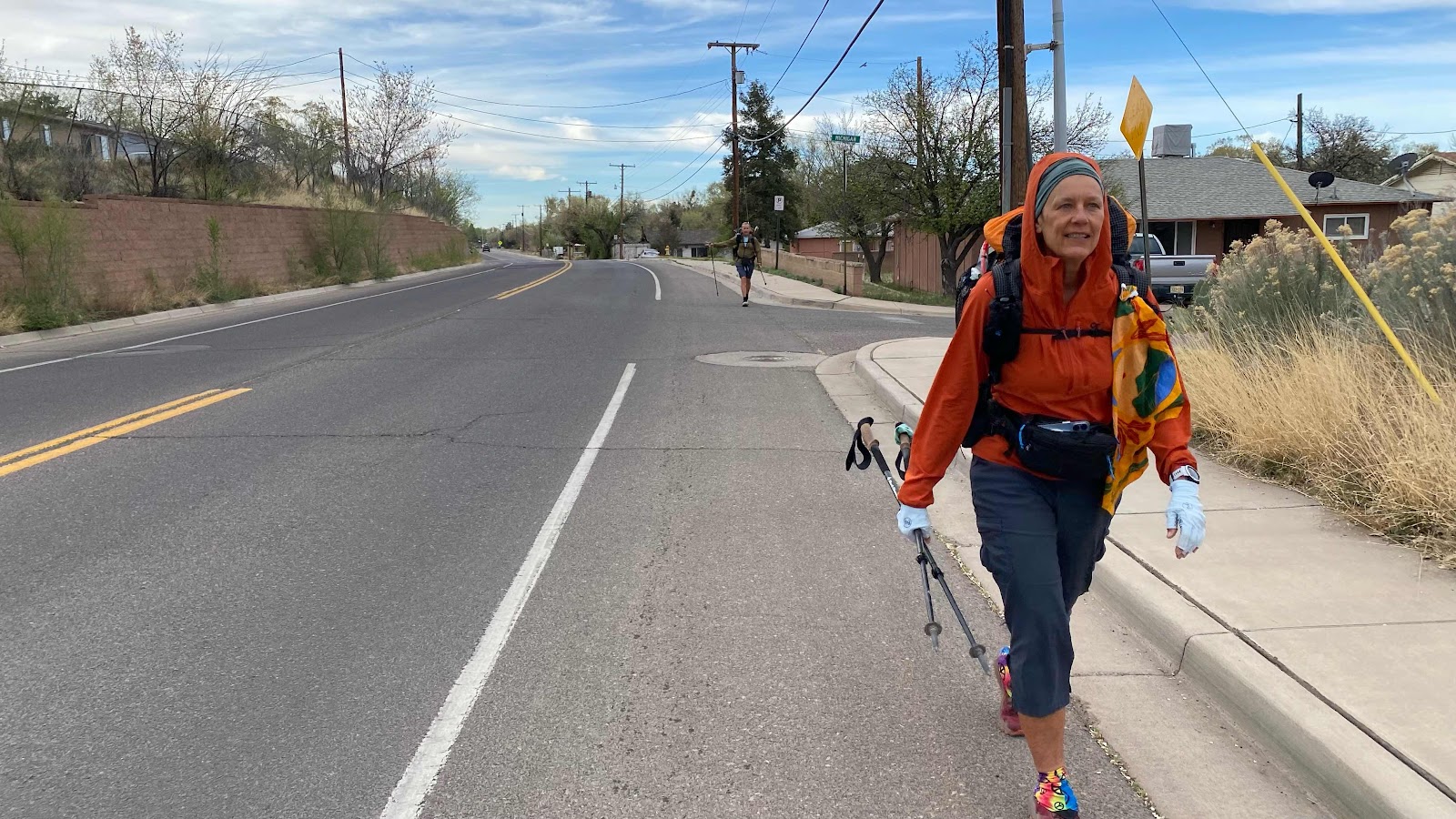
Dallas and Magic Mike walk through Silver City on their way out of town. 


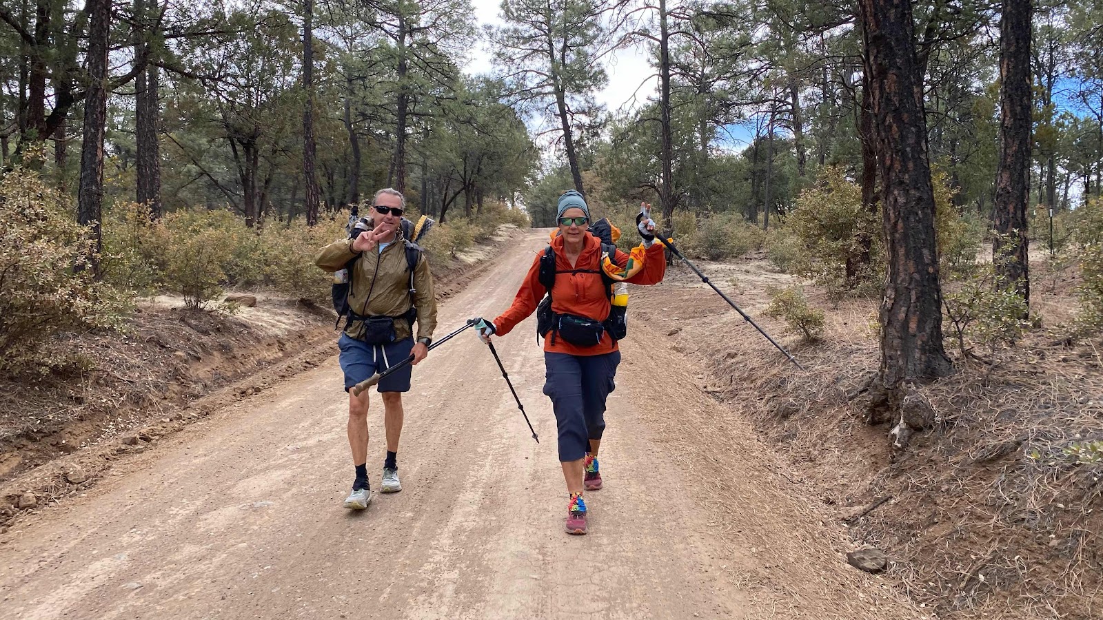
The paved roads give way to dirt. Magic Mike and Dallas. 


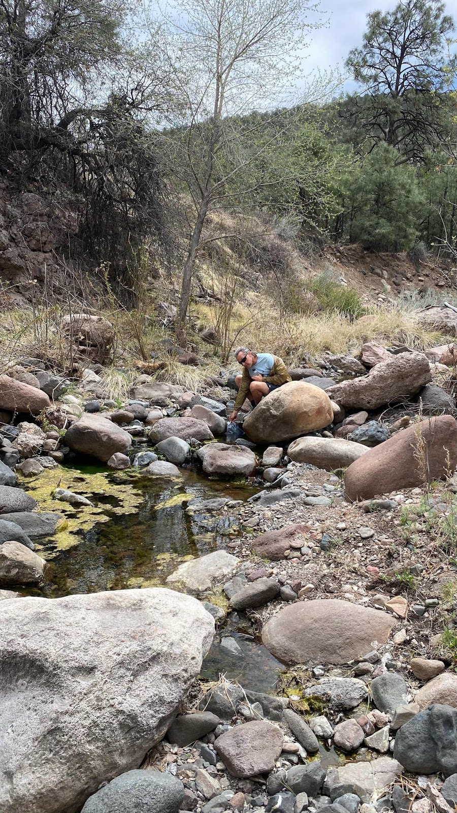
Magic Mike fills our water bottles from an actual flowing stream, our first on the CDT. 


My first rattlesnake on the CDT. He wasn’t giving up his position in the center of the road so we walked around. 


Some beautiful New Mexico country side. 


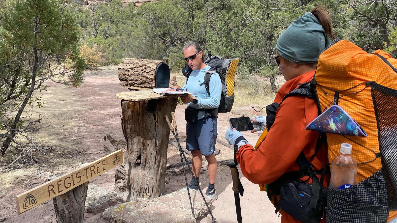
Magic Mike signs a trail register which appears to be randomly placed along the trail. 


Magic Mike eyes the flowing water in the creek bottom. We cross hundreds of these a day and they are always dry, but not this one!  Fill those bottles. 


Tents pitched for the night. 

Monday, April 18, 2022

Day 10 - Monday, April 18, 2022 - 0.0 miles - 4,485 steps - Zero Day at the Triple Crown Hostel, Silver City - Vert Up - 0’ Vert Dwn - 0’

Silver City is a pretty cool town. The historic downtown area is super quaint. And just like most old towns, the historic district is surrounded by strip malls and box stores. 

The hostel has free loaner bikes. I made good use of them to tour the town today and run errands. I shopped at the dollar store for some items, then down to the post office to mail some packages home, over to the thrift shop to find a light pair of shorts for the hot springs along the Gila River. Back to the hostel and cooked another frittata, this one for lunch, wash some clothes. I put Shoe Goo on the treads on the soles of my shoes in an attempt to slow the wear and tear and make them last longer. With my only pair of shoes upside down drying in the sun I spent a few hours lounging on the patio talking with the other hikers. 

I was staying close to my phone, anticipating the birth of our fourth grandchild. About 4:30 the word came in, a new baby boy with mom and son healthy. No name yet. Maybe Samwise. 

I made ham, egg and cheese burritos for dinner along with a huge helping of broccoli, FaceTimed with my new grandson and sat on the patio again talking with everyone. There are about 20 people here, nearly all I have met on the trail at one point or another and nearly all staying two nights, taking a zero day. 

The plan: be at the door of the coffee shop Tranquilbuzz for a pastry at 6:55 (opens at 7:00) then off to the trail. It is 46 miles to Doc Campbell’s, the next resupply. They are closed Wednesday and don’t open until noon on Thursday so there is no need for big miles, two and a half days to cover the distance. 


Day 9 - Sunday, April 17, 2022 - 14.6 miles - 40,690 steps - MP 133.2 to Triple Crown Hostel, Silver City - Vert Up - 1774’ Vert Dwn - 963’

Ever imagined walking from Spiffy’s restaurant south of Chehalis to The Great Wall Chinese Restaurant in Ethel on Hwy 12 (about 14 miles) on a sunny 80° day?  Me neither. But, that was what I was facing today. I knew there was a fair amount of road walking on the CDT, and I should have been prepared for it, but I didn’t realize it was today until a couple days ago. To be truthful, I noticed on the FarOut app that there were no trail crossings, no water, no marks of any kind for 13 miles, but it didn’t occur to me that indicated the route was on a highway. At the Burro Mountain RV site Lee mentioned something about a road walk coming up, so I sat up and took notice. Yep. 13 miles on the highway to Silver City. 

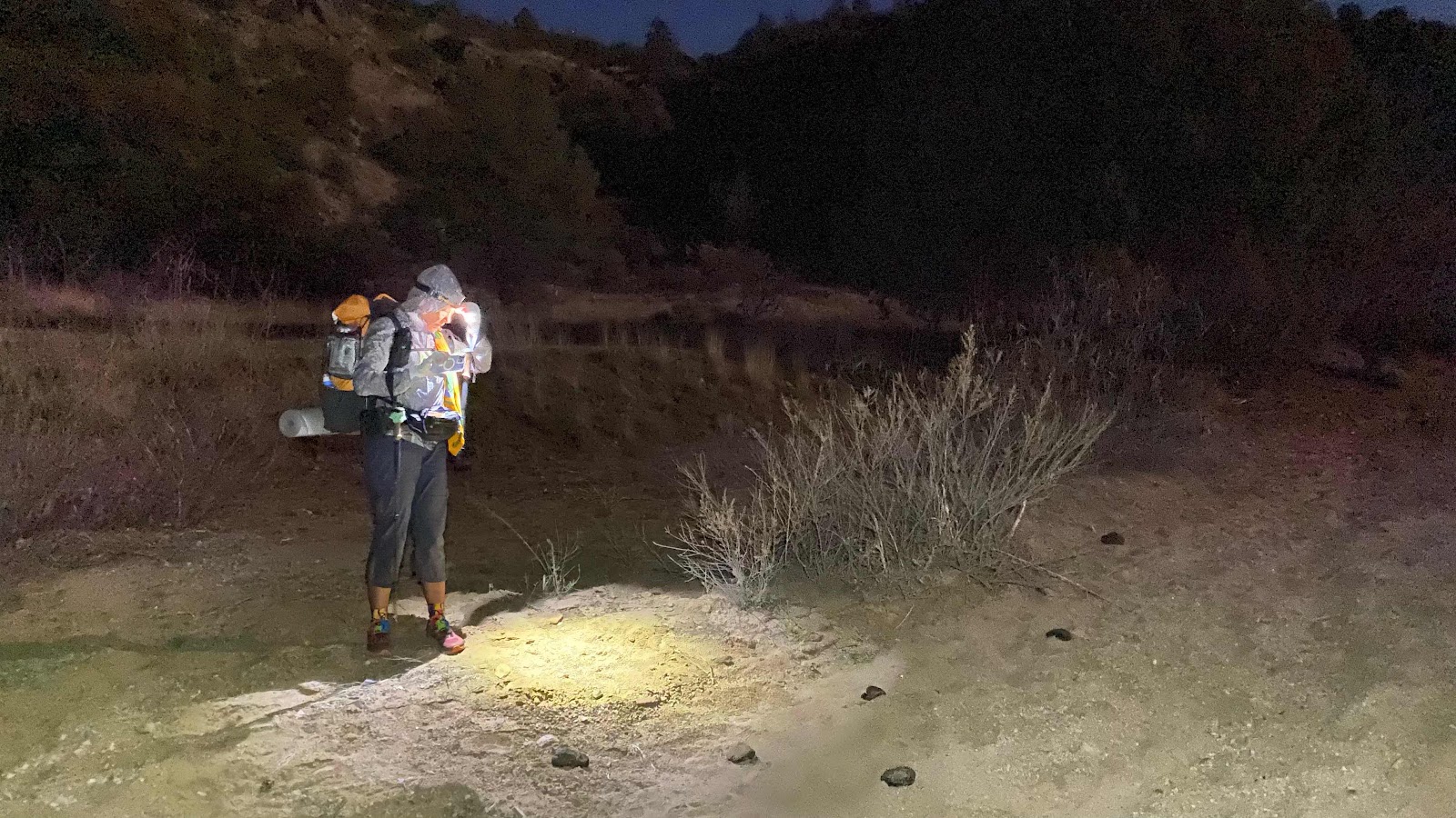
How best to manage this?  Get up early and get it done before the day heats up. Luckily, Dallas was of the same mind. I set my alarm for 4:45 am and was packed up and on the road by 5:15am. 

There was about 1.5 miles of gravel road to traverse before I hit the blacktop. I had six miles done before the first rays of sun hit me. Did I mention it was cold? Like 35° cold. That really helped ease the pain of a road walk.

When hiking trail one needs to keep an eye on where one steps. Roots, stones,etc require attention. When walking blacktop that is not necessary. I utilized miles 6 to 11 to write the previous two day’s blog entries. As long as I kept the white line on my right as I walked head down into the sparse traffic I was good.

I FaceTimed Robby, Junie and Izzy for a mile or so, listened to the the book “Remember” about memory and how it functions and enjoyed some Led Zepplin. By 10:15 in the morning I had covered the 14 miles and was at the Triple Crown Hostel.

Brenden, the owner and operator gave us the tour. Nice place. Hot tub, full kitchen, two baths with showers, bunk room and private rooms. I am tenting at $12.50 a night. Dallas has the private suite at $60 a night. 

In the main room I met Bird from Detroit, McGiver from Germany, Slow Poke from all over (army brat) and Green Mountain Mama from Vermont. Magic Mike, Dallas  and I walked  to a bar downtown for lunch. Afterward I did a little shopping downtown before returning to the hostel where I grabbed one of the loaner bikes and rode to the nearest full size grocery store for food for tonight and tomorrow. Eggs, broccoli, spinach, onion and ham for egg frittatas. 

A little later King-go and I rode back to the grocery and then thru the historic downtown area, stopping at an ice cream shop for a cone. Once I saw the prices I thought it was too much and started to walk out. King-go, all 25 years old, tells me it is about the atmosphere, not the price. He was right. We got cones, sat in a booth and had a great talk. Worth the overpriced cone. 

King-go works with troubled youth in Portland, trying to keep them from becoming homeless. We discussed foster care and what it will take to stop the cycle of homelessness. Smart, caring and fun kid. 

I spent the rest of the afternoon writing, talking with the hostile kids, cooking dinner and eating with Dallas in her “suite”, then enjoying pizza with the “kids”. All in all, another amazing day. 


Dallas getting ready to hike the road to Silver City. She took off like a shot and was soon half a mile ahead. 


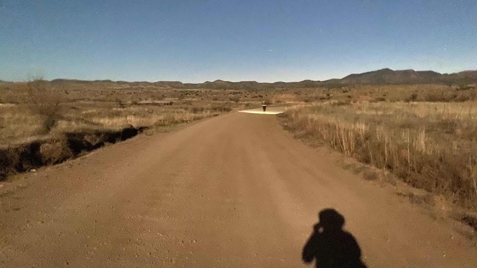
It is a lot darker than this image shows. That is Dallas up ahead in the pool of light from her headlamp. My shadow is from the moon behind me. It was a full moon. 


Those four lights in the sky are, from left to right, Jupiter, Venus, Mars and Saturn. What a gorgeous show for us early risers. 


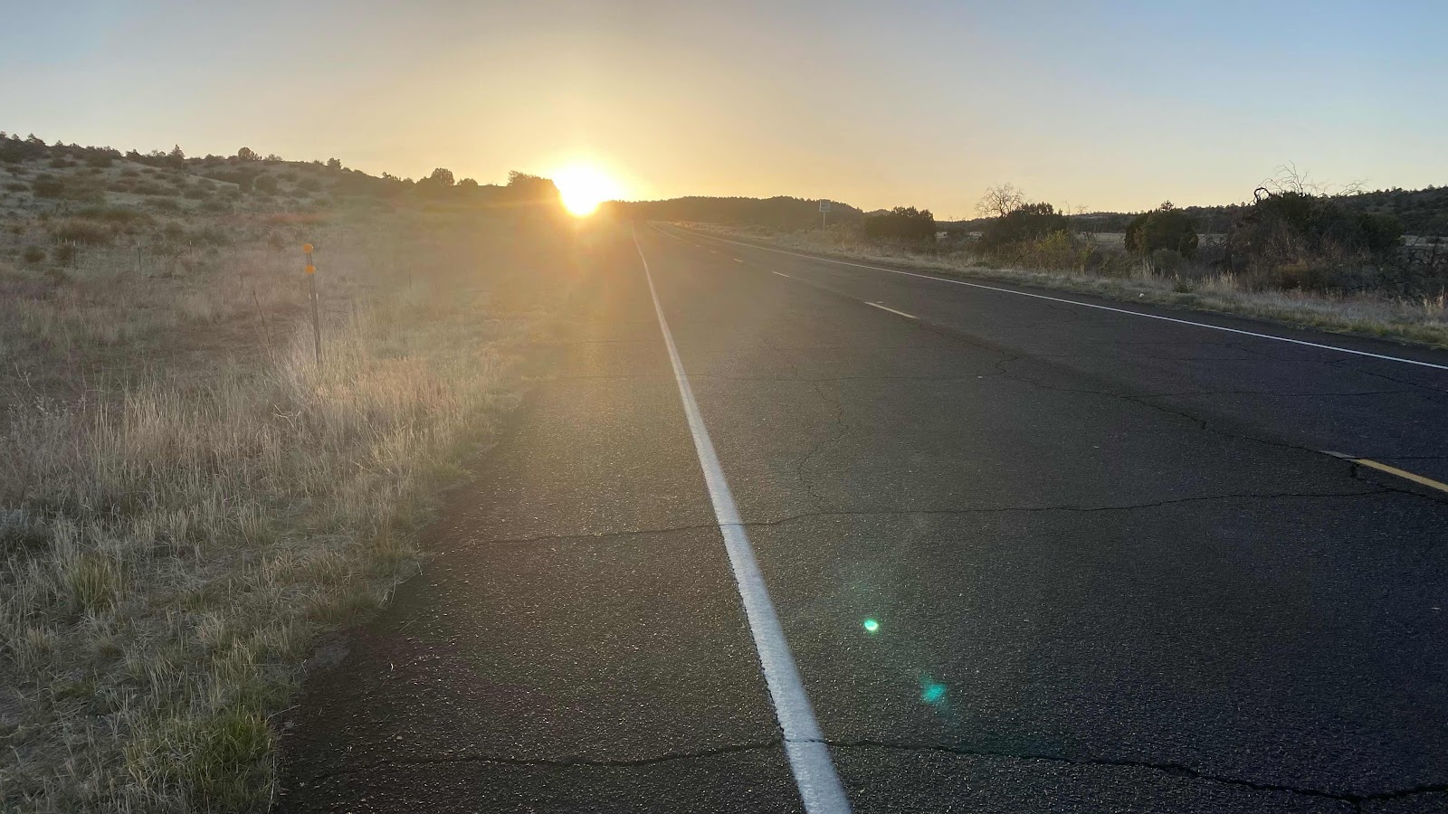
The sun finds me at about mile six of the road walk. 


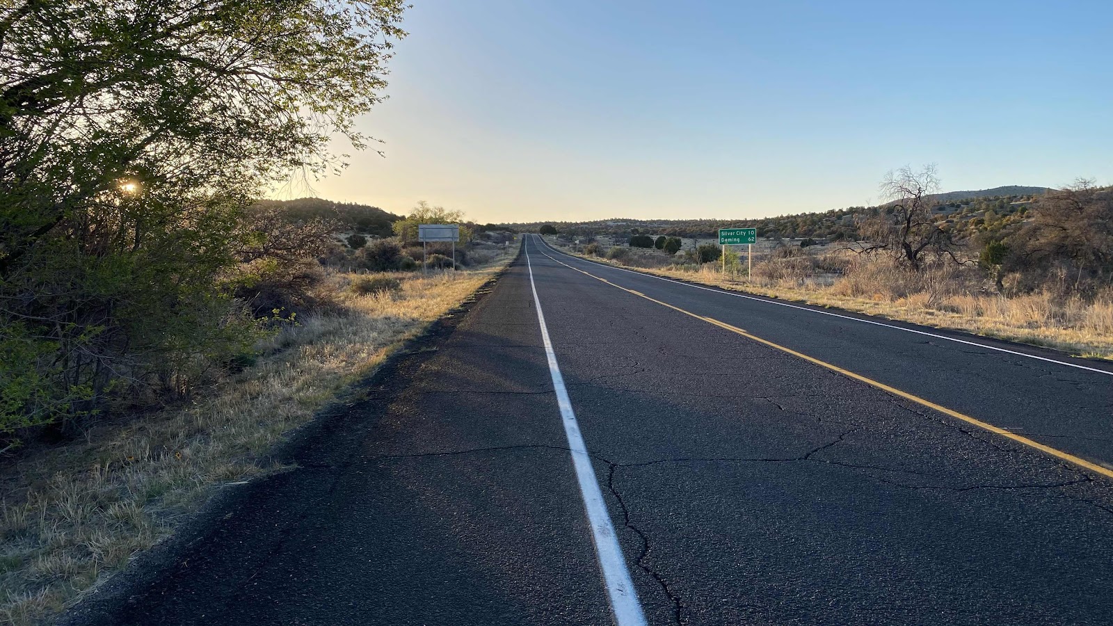
The road goes on and on. Check out the mileage on the sign. 


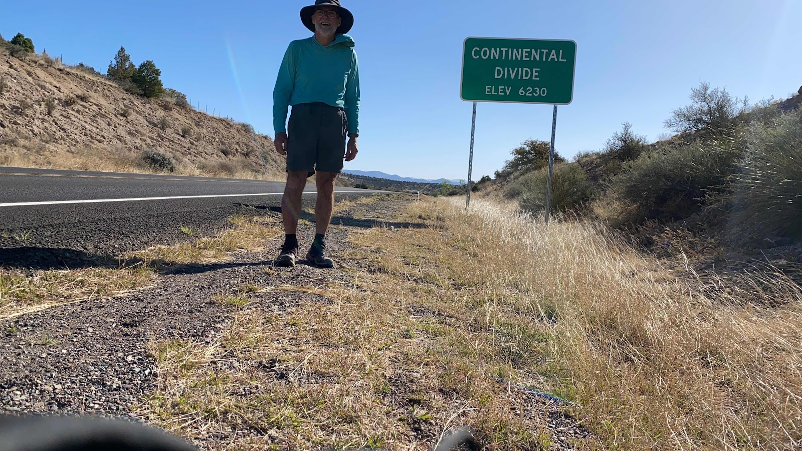
The divide. 


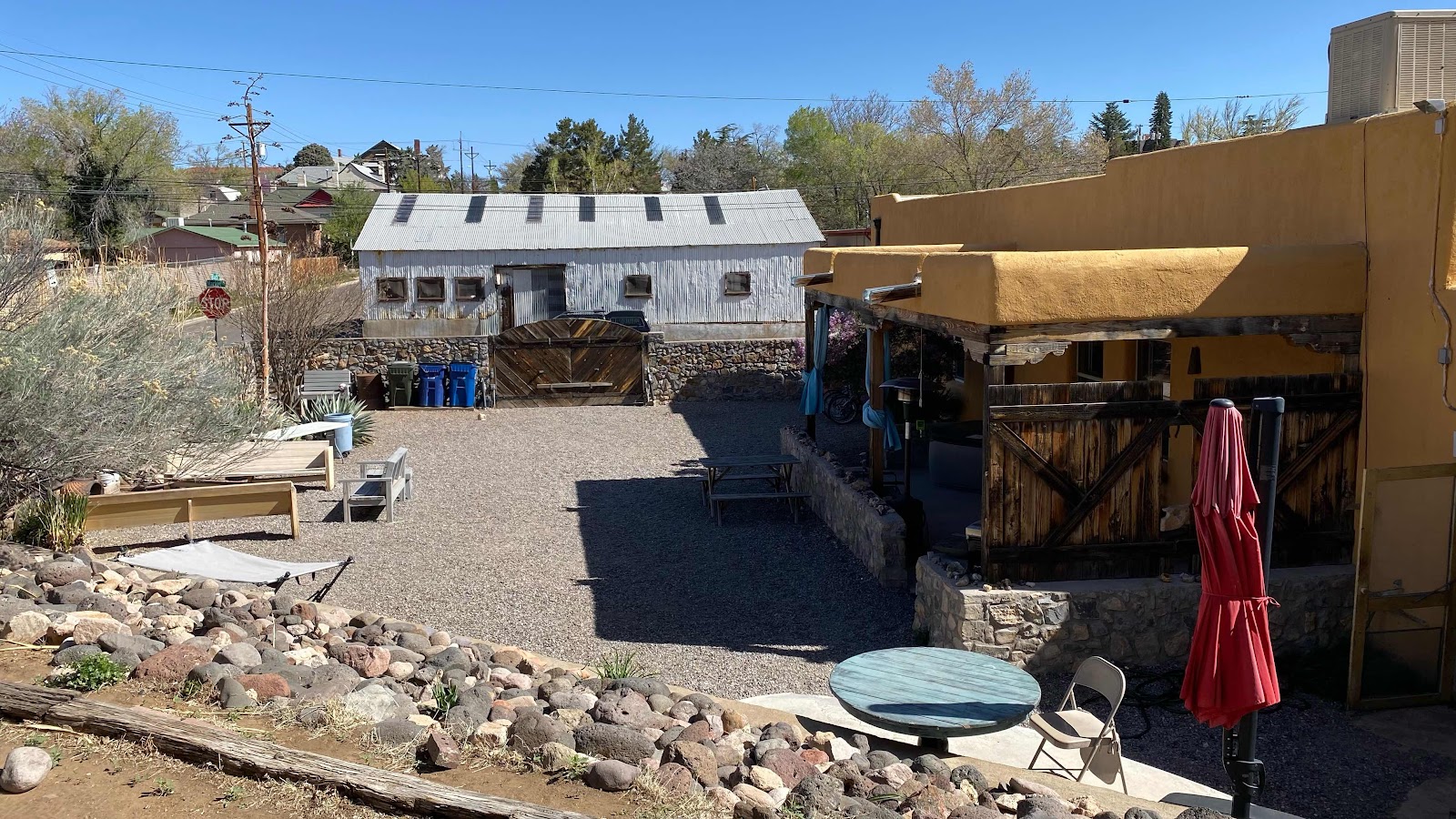
The courtyard at the hostel as seen from my tent position. No shade for the tent. 


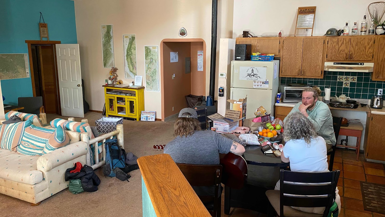
The kitchen, dining, family room portion of the hostel. Bird sits with his back to us, then Green Mtn Mama and King-go faces us. 


Sunday, April 17, 2022

Day 8 - Saturday , April 16, 2022 - 24.6 miles -59,613 steps - MP 121.2 to MP 143.2 - Vert Up - 1562’ Vert Dwn - 3909’

I hurt so good. Oh, man, do I hurt. I am laying on my sleeping pad on my back, head propped up by my stuffed sleeping bag acting as a pillow. Every part of me is twitching with fatigue. I am counting on the power of sleep and food to set me right by 5:00am tomorrow for the 14 mile walk to Silver City. 

It was a busy day with no water. 22 miles from Burro Mountain RV Park (MP 121.3) where we stayed last night to a mile past a cow watering tank at mile post 142.8. My watch says I hiked 24.62 miles. Of course, with no water along the way we had to pack enough for 24 miles. The heaviest single item in my pack is water. My pack weighs about 27 pounds. Of that 9 lbs is water. One third of the weight. As the day goes on and I drink my water supply my pack lightens appreciable. That’s good. I figure I need one liter of water for every 5 miles, less in the cool morning, more in the hot afternoon.  

The route today stayed up on the ridges for the most part, with nice views to the east and west as we traveled north. Magic Mike, Dallas (D’Anne) and I stayed together most of the day, stopping to rest together and eat together. About midday Magic got his mojo going and we didn’t see him the rest of the day. 

There was a report that there was water about halfway (11.2 miles) but the description left doubt as to whether it would be viable. “Several scoopable pools on 4/12.  Clear and tasty.” Scoopable is troublesome as it means the water is shallow and might evaporate before we get there. Rather than rely on this source, we bet on the one 21 miles ahead: 


You’ll see pictures below of both sources. The one at 11.2 miles was still there when we arrived and was viable, but I was carrying enough for the whole distance so there was no need to replenish. The one at 21 miles was as described, wonderful. 

We had a little mixup right after the 11.2 water source. Mike jumped out ahead, I followed shortly after and Dallas a few minutes after me. The trail was hard to follow as it cut up a dry wash and then emerged into the forest a few hundred yards upslope. I had signal and was talking to Sally on the phone, using the FarOut app to make sure I was on route in the maze of old roads. But, in the process I missed the post marking where a new section of trail had been built that was not on FarOut. After a few minutes my route petered out. I had to hang up on Sally to concentrate on route finding. Just then I saw Carl (a hiker we had met only an hour ago) 75 feet upslope. He said he was standing on the trail. I walked up and sure enough, he was. This was not on FarOut, an unusual occurrence as it is usually pretty accurate. I assumed Dallas was in front of me and Carl confirmed this. We walked and talked for the next 20 minutes, recalling previous situations where we assumed we were behind when really we were ahead. I thought I had better confirm that Dallas was ahead of me. With my inReach PLB (personal locator beacon) I can text out via satellite even if I don’t have cell coverage. I sent her a note “I’m at at mile 135 at 12:14”. We have learned to attach a time to satellite texts because sometimes they are really slow. She responded surprisingly quickly with “135 12:21 R U stopping for lunch?!?”  So I was in front of her!  Instead of hurrying to catch up I slowed and then stopped, texting “At 135.3 waiting for you 12:23”. I sat down, took off my shoes to air my feet, tore open a packet of gooey almond butter and honey and began smearing it on tortillas. A few minutes later I got this message “I’m at 135.7 12:27 I’ll stop here and wait”. I did one of those Scooby-Doo “huh?”s. I crammed the rest of my tortilla in my mouth, laced up my shoes and headed up the trail. Mine and Carl’s first impulse was right. She was ahead of us. I caught up, finished my lunch while Dallas took off, finished another call with Sally and started walking again. 

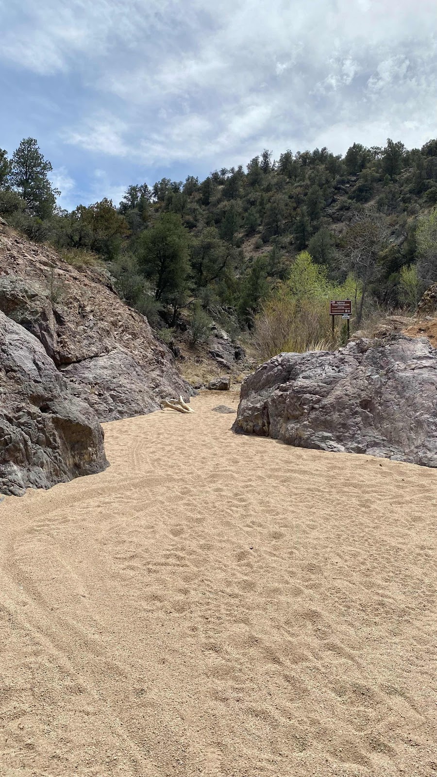
The trail continued on the ridge top, slowly undulating up and down as it passed into and out of ravines. The alligator junipers were the tallest plants at about 8 feet so there was very little shade. At Mile 138.7 the trail intersected a road at right angles and the route followed the road. It plunged down into an arroyo where it made a sharp left into a slot canyon, the floor of which was loose, unconsolidated sand. Soft on the soles of my tired feet, but really tiresome to trudge through. 

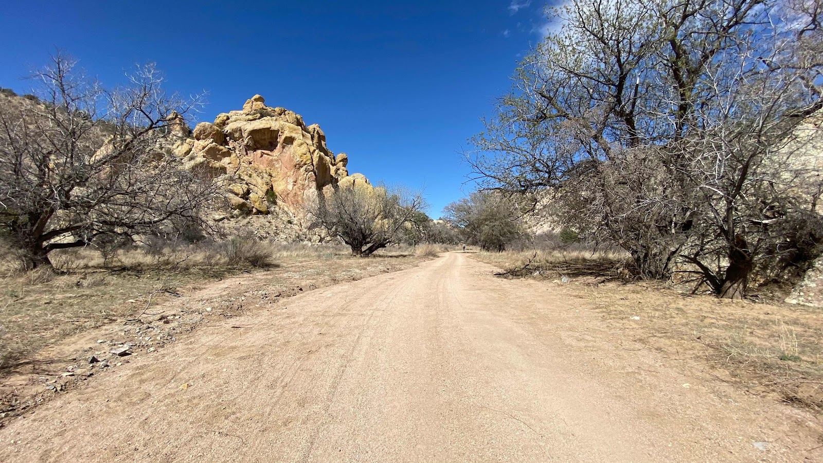
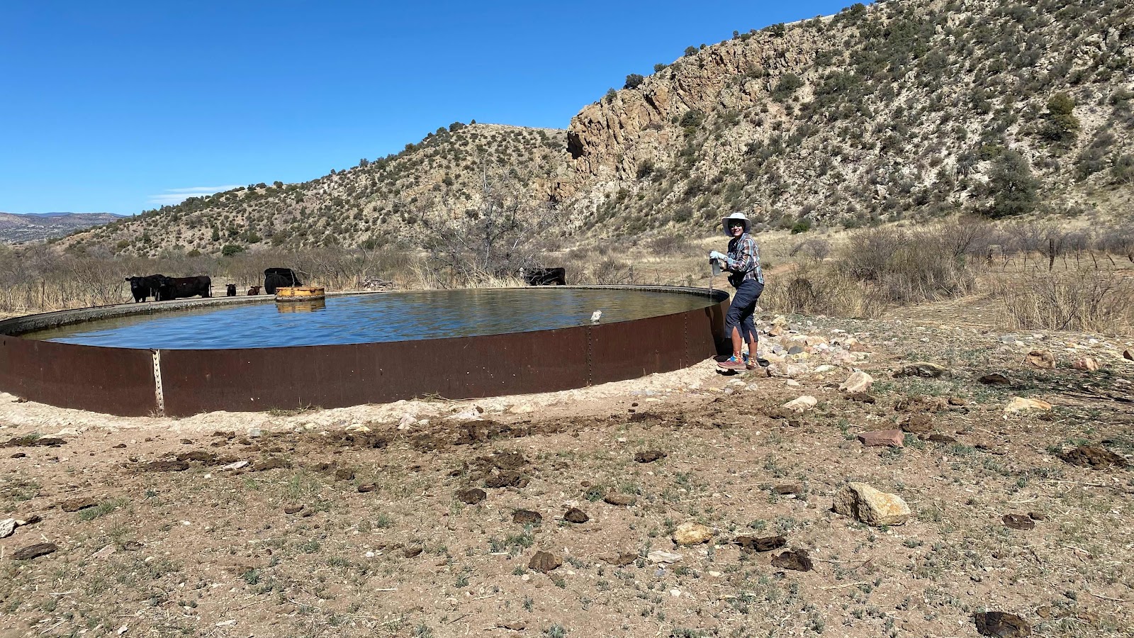
But the canyon had attributes that made the trudging enchanting. The bedrock was purple! Imagine a narrow canyon, sandy floor, purple walls and narrowing as you reach its mouth. In just a few minutes it spilled out at right angles to another, wider canyon whose flat base was still loose sand, but served as a road with tire tracks running its length. This we followed for the next three miles as it slowly widened until we saw our cattle trough off to the right. By this time I had caught up with Carl, we had walked the last half mile together. We walked around the cattle pen and up to the water tank, an iron circular ring about 18” high and 30’ in diameter. The water looked so inviting I wanted to jump in and cool off. I filled four - liter sized bottles with the water by dipping my cooking pot In, swirling to push the aquatic submarine life away and pouring the contents into my bottles. I was quite pleased at my results as no visible creatures made it into my bottles. I would add bleach later.  We are asked not to camp near these cattle water sources so we packed up and headed down the road, my pack noticeably 9 pounds heavier. About a mile down the road I found Dallas up a slight rise to the right in the shade of a juniper tree. Other than copious amounts of cow pies everywhere, it looked like a great place to camp. Truthfully, as tired as I was anyplace would have looked like a great place to camp. 10 minutes later I was in my erected tent, about 4:40pm, and remained horizontal until 4:30am the next morning, counting on the amazing restorative power of sleep to make tomorrow’s walk of 15 miles into Silver City possible. Did I mention it is 13 miles on Hwy 180?  More on that tomorrow. 


A stunning sunrise. Do the fires to the east add to the color?


The trail left the ridge and followed a draw for a while. This is where the intermittent water is. 


Carl sits near the scoopable water source. It is not flowing. It appears to be ground water that makes it to the surface. Already carrying enough water for the day so I didn’t collect more. 


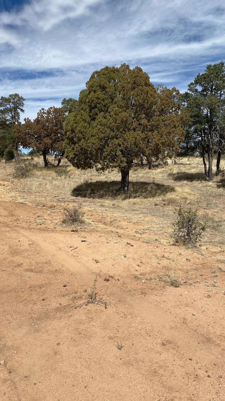
Back on the ridge, I loved the near perfectly round shadow of this juniper. 

The  purple rock slot canyon. 


Beach sand trudge, but beautiful!!


The canyon widens. Trees just starting to bud. 


Our oasis water source. 


Day 7 - Friday, April 15, 2022 - 19.5 miles 52,993 steps - MP 103.1 to MP 121.2 - Vert Up - 2849’ Vert Dwn - 2412’

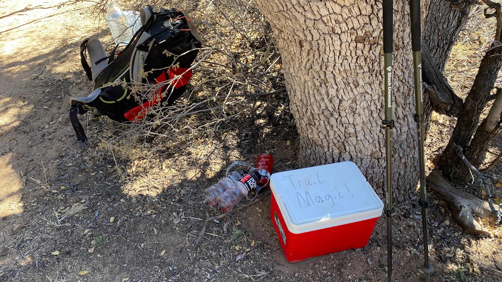
Magical day. Absolutely magical. Let’s start with a fantastic sleep the night before. Then up at 5:15am (remember, I am in bed and asleep by 8:30pm-it gets dark early here). Start off by headlamp, while the eastern horizon glows orange. Three miles covered in the cool of the morning, a gentle breeze, landscape like a desert botanical showcase garden with junipers, broom snakegrass, scrub oak, poverty grass and more artfully arranged and glowing in the slanting rays of the early morning sun. At mile 8 pull off the trail 1/4 mile and fill water from a concrete cow watering circular pool, then onward, knowing we have an 1800’ climb ahead. At the base of the climb there is trail magic, a cooler with bananas and bottles of Powerade, a perfect fuel up for the south facing hot climb ahead. The wind picks up and the climb is cool and comfortable followed by a descent of 3 miles to the Burro Mountain RV park just a mile off the trail. We walk up to the office and the woman running it welcomes us and tells us the camping is free under a spreading shade tree, the showers are free, the WiFi is free in the rec room with pool table. We thank her and asked her why is it free, we will gladly pay and she say, “because of what you are doing and going through you deserve it.” Unimaginable kindness. So I am sitting in the rec room recharging my devices, filling my water bottles with tap water instead of cow trough water and writing this entry. What a magnificent day!


Dallas on the trail in the early morning light. 


Beautiful desert scenery. 


More beauty


Filling water bottles at the cow trough. Nice place to sit. I purify my water with Aqua Mira, a chlorine treatment. 


Amazing cactus bush called cane cholla. 


Trail Magic!


Scenic it is. 


Camping in the RV park


The shower house


CDT hikers are off to the side and away from all the RVs and four wheelers. 


Thursday, April 14, 2022

Day 6 - Thursday, April 14, 2022 - 20.0 miles 51,952 steps - MP 83.1 to MP 103.1 - Vert Up - 2648’ Vert Dwn - 587’

Stupid. Really Stupid. Don’t forget stuff in your hotel room after a zero day. I wrote myself reminders. I scoured the room. I even had an extra 10 minutes because D’Anne wasn’t ready to go at 6:00am. I cameled up (drinking as much water as you can hold so you don’t have to carry as much) drinking 5 glasses of water. But, did I think to look in the refrigerator?  I walked by it 10 times, but didn’t remember I had my lunch for the day in it plus a pound of cheese to consume during the next four days. So, with pack on my back I took one last glimpse in the room, felt satisfied I had everything and closed the door. I met D’Anne outside her room and we started down the street. 100 yards later I remembered my sack of food in the fridge. Too late. Hope the maid enjoys the Ritz Crackers, pound of cheddar cheese, fruit snacks, four energy bars and bag of mixed nuts, about 5000 calories. Oh well, I have enough to get me thru as I always carry a little extra. 

I was “camped” in the Motel 6 on the south side of town. This morning we hiked thru town, under the railroad tracks and out NM Hwy 70, a distance of three miles. We got into a discussion of politics, racism, critical race theory-the whole nine yards. Although we see the world VERY differently, we did discover we shared some common concerns, just not the solutions. 

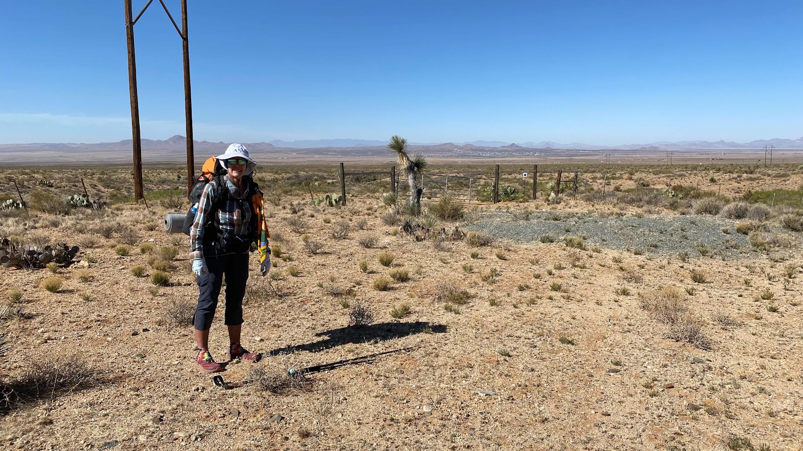
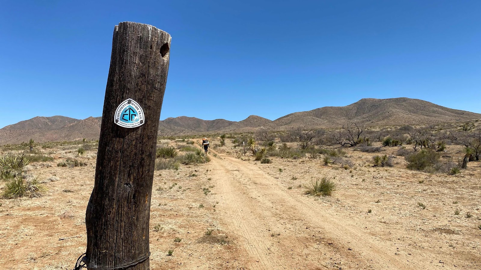
To leave hwy 70 at the correct spot you really need the Guthook app (now called FarOut) to locate the correct spot. There is no gate thru the game fence that borders all major highways, so we had to take our packs off, set them over the fence and then crawl under. Using FarOut to guide us, like Spock with a Tricorder, we hiked across miles of open scrub desert, occasionally seeing CDT signs to guide us and following use trails created by other hikers. We were in the midst of a discussion, I was in the lead and I was following a well worn path. My concentration on the path waned until I suddenly realized the path I was following was all hoof prints, not hiker prints. Remember this is open range so there are cattle.  We both pulled out our phones to check FarOut. Oops. I had drifted to the left of the route by about a quarter mile. It was a nice tread to follow, if you are an antelope, but not the right one to do the CDT. 

During the nearly eight miles of slightly rising ground we saw four Havolinas and a herd of nearly 60 antelope, plus a few jack rabbits. I took Mt phone off airplane mode and checked to see if I had signal. I immediately received a text from Andy asking if I had forgot to turn on my PLB tracker. Uh-oh. I had turned it on, but it was not working. I fiddled with it, but it kept saying it couldn’t see any satellites. I guess I am off line for a while. Sorry. 

The trail gradually got more slope to it as we started to climb into the hills. We were looking for our only water source of the day at mile 15, Engineers Windmill. 

Engineers Windmill is an inaccessible water tank that feeds a cattle trough. When we arrived there was a cow drinking from the trough. We stopped in the shade to wait for the cow to leave. There we met a man sitting in the shade of the trees named Metric Ton. He was a little off in my estimation and talked a mile a minute. The water trough was a mass of bees such that I could not approach it. I got out my pot and Metric Ton volunteered to scoop water for me, all the while repeatedly telling us he was a guide and wasn’t afraid of bees. He dipped three liters for me while standing in a cloud of bees. D’Anne filled her bottles as well. I was the whimp of the group. 

With four liters of water on board (an addition 9 lbs) the trail led up hill for 4 miles, gaining about 1000’. It was the heat of the day and I was feeling those extra nine pounds plus the morning’s 15 miles, but 2 hrs later we crested the ridge with a view back down to the desert floor and Lordsburg. A mile down the other side  we found the shady camping area described by an entry in FarOut. We set up our tents on six inch thick forest duff, so much duff you had to scape it off to find soil below that would hold the tent stakes. 

I lazed in my tent for an hour, called Andy (I had two bars of service) to ask if he could research why my inReach PLB quit working, cooked dinner and generally watched the time pass in a haze of semi-exhaustion. 

The temperature swings in the desert are crazy. It was 32° when I left the hotel this morning. It was 79° as we climbed the final ridge. Supposed to drop to 39° again tonight. 

Surprisingly, all body parts are still humming along and the hiking is wonderful. I love the desert. You get great views, dry air which translates to never feeling sweaty no matter how much you are sweating and cool nights. Life is good!


Lordsburg Main Street faces the train tracks, but there is no train station anymore so the town looks nearly abandoned. 


Hiking across the desert. 


Pretty barren area. Lordsburg way in the distance. 


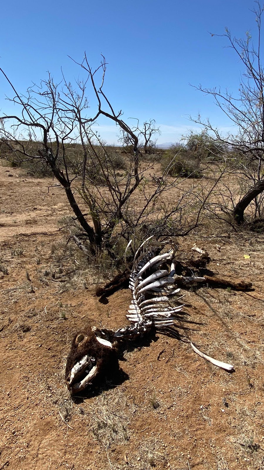
A cautionary find. How much water do I have?


Heading into the hills. 


Metric Ton filling my water bottles for me from the cattle trough while in a cloud of bees. 


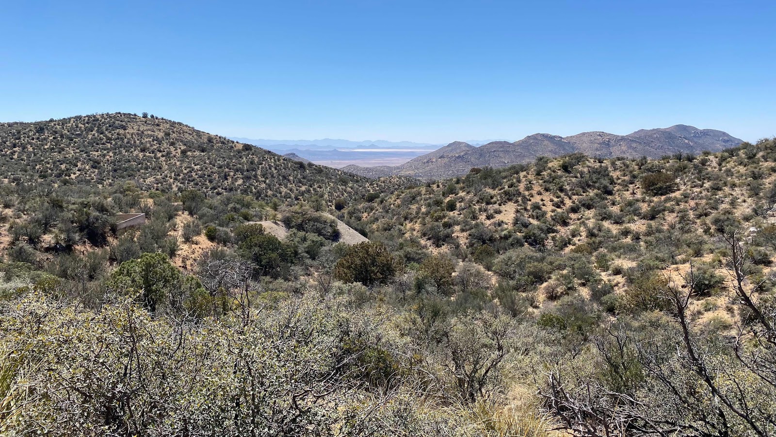
Up in the mountains, Lordsburg below.