Saturday, April 30, 2022

Day 19 - Wednesday, April 27, 2022 - 19.3 miles - 43,483 steps - MP 15 to MP 23.4 of Pie Town Rd Walk Route - Vert Up - 722’ Vert Dwn - 2578’ - Total Miles to Date - 341.9

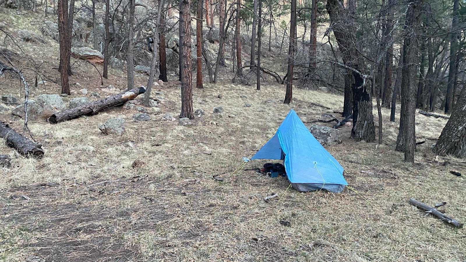
Our campsite was at 9500’ on a ridge emanating from the top of Mangas Mtn. The wind blew all night, beautiful white noise to sleep by as it flew thru the pines and firs. In the morning I could hear wild turkeys gobbling in the distance in two directions about 90° apart. The temperature wasn’t bad, but the wind  made it feel quite cold. But something else was radically different. There was a solid, slate grey cloud cover, the kind that makes a Western Washington boy like me run for a rain jacket and umbrella. But, this is New Mexico and clouds don’t necessarily mean rain. There was none in the forecast. Still, after nearly three weeks of clear, blue, cloudless skies, it was a shock. 

The route today was nearly all downhill. Pie Town lay about 25 miles away, just a little too far to my liking. At about 11 miles is a place called the Davile CDT Rest Stop. That was our second destination of the day. The first was the spigot along side the road with which to refill our water bottles. 

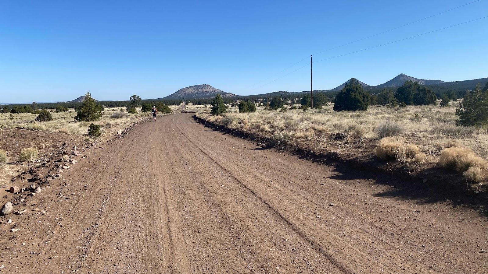
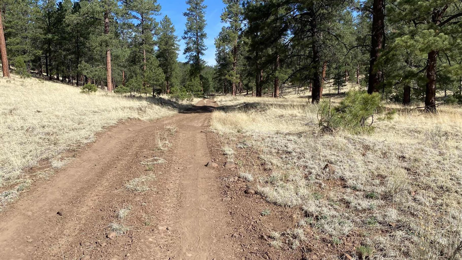
Every step of this section is road walking. It was a rough piece of road with tons of loose rocks, but a truck with good ground clearance and 4WD could negotiate it. 

About 4 miles from where we camped we heard a truck approaching from behind. As he passed the driver asked if everything was okay. We said yes, but then I asked if he could take my garbage. I was still carrying the Gatorade and water bottles plus the coke can from the drive by trail angel from 3 days before. He looked surprised but said sure. He opened the back door of his truck and I dropped all my accumulated garbage in a box he had in his back seat. We chatted for 5-10 minutes about NM life, hunting-he runs a guide service-and his 20,000 acres he owns. He drove off and we kept hiking until we reached the faucet. Sure enough, right along the road as described in FarOut there stood a faucet. We only had about 6 miles to get to the Davile Ranch rest stop. I topped off and we continued on our way. 

At about 11 miles for the day a small sign on the right side of the road announced the CDT rest area. 

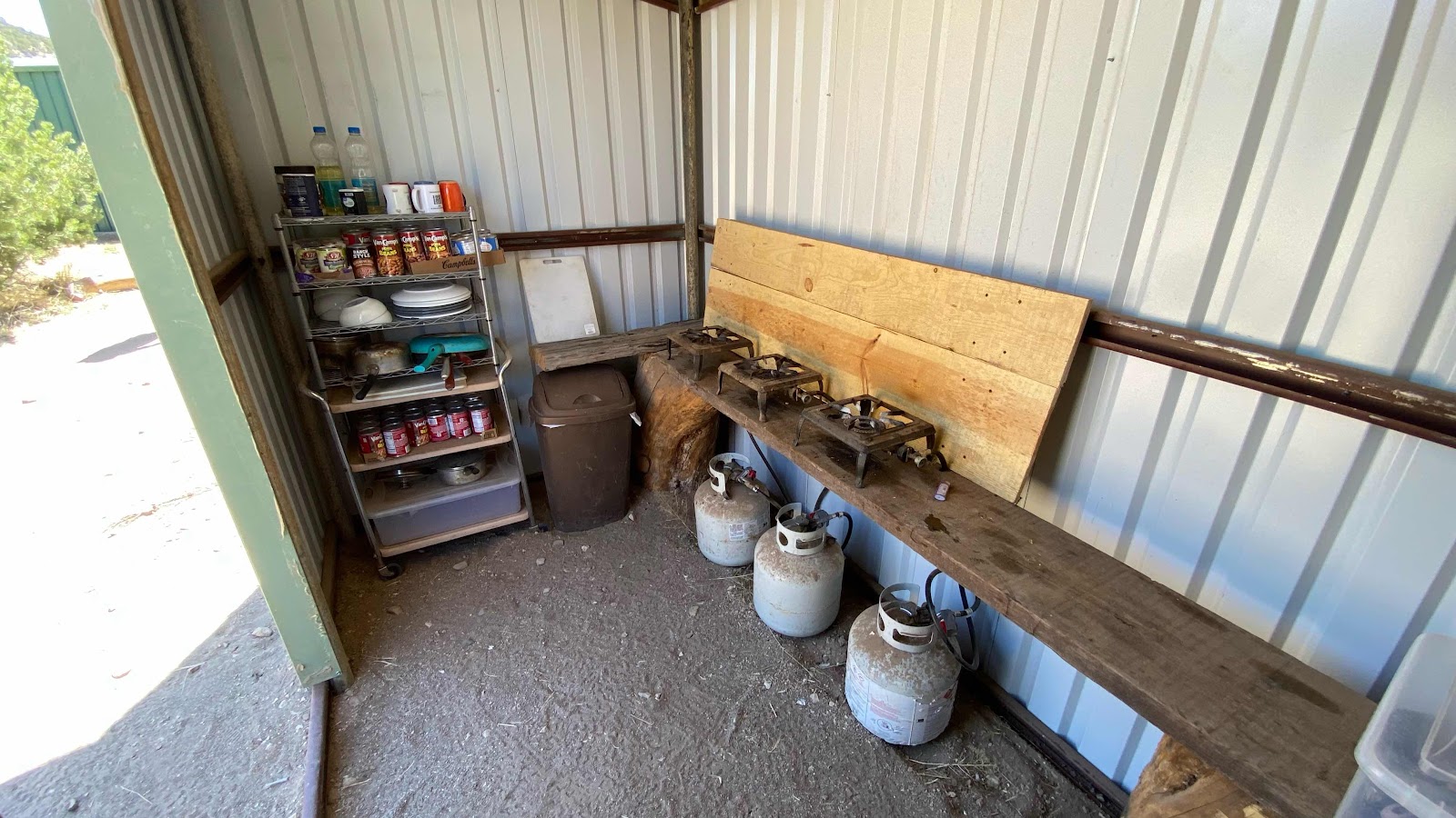
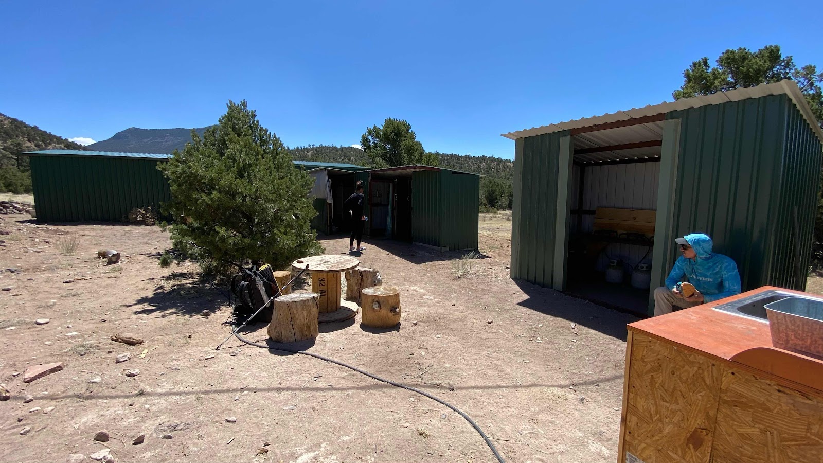
We walked through the junipers to find a grouping of small interconnected metal sheds all set up for hikers. One had a rack of canned goods, three propane stove burners, an assortment of pots and pans and silverware. There was an outdoor sink, an enclosed toilet room, a shower room and a room with a fridge, two washing machines and two dryers. In the fridge we’re about 6 dozen eggs, 20 pounds of potatoes, onions and garlic. Also, there was WiFi and electrical outlets. We immediately plugged in our batteries, phones and PLBs, then I changed into a pair of gym shorts I was carrying, striped off everything else, grabbed all clothes from my pack and did a load of laundry. I had been wearing the same clothes for 9 days straight, sweating in them 10 hours a day and they needed a little washing. With batteries charging and clothes washing, I grabbed four eggs from the fridge and scrambled them. Once eggs were consumed I tried to upload my blog posts, but the WiFi was so poor I could not. 

The owner came by, checked to see we were okay, went through a quick check of the place, garbage levels not bad, still plenty of food - normal maintenance stuff. Then he sat down and talked with us for well over an hour. I asked why he built this little paradise for hikers. He said his daughter and he did it because they were tired of seeing hungry, filthy, exhausted hikers staggering up the road. He drilled a 600’ deep well to provide water, had an electric pole put in to bring electricity, installed a toilet, hot water tank for the shower and laundry, etc. what a kind and generous man. Everything was free, although he had a donation box out and signs saying how to donate via PayPal or Venmo. 

We probably stayed 3 hours charging and washing, then packed up and headed down the road with the intent of getting 5-10 additional miles so as to be within 5-8 miles of Pie Town so we could get to Pie Town early the next morning.. The post office is only open 8:30 to noon, although Magic Mike had grabbed our resupply boxes from the post office yesterday and put them in the hiker hostel called the “Toaster House”. 

When we were about 6-7 miles from Pie Town we stepped gingerly over a barbed wire fence into a field with brown grass and junipers and stealth camped for the night below the branches of a big juniper far enough from the road as not to be seen (although this wasn’t really necessary as I had only seen two cars (trucks) go by in the past seven miles of walking. 

The wind was blowing heavily as we each crawled into our tents and “got horizontal” to rest and relax the rest of the evening away. Another amazing day of meeting kind people. Want to see people at their best? You don’t see many, but the ones you do are top notch. Come hike the CDT. 
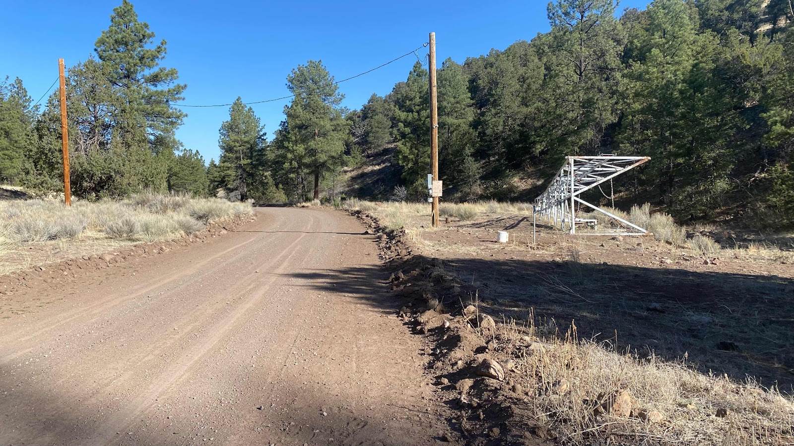


The spigot along side the road. 


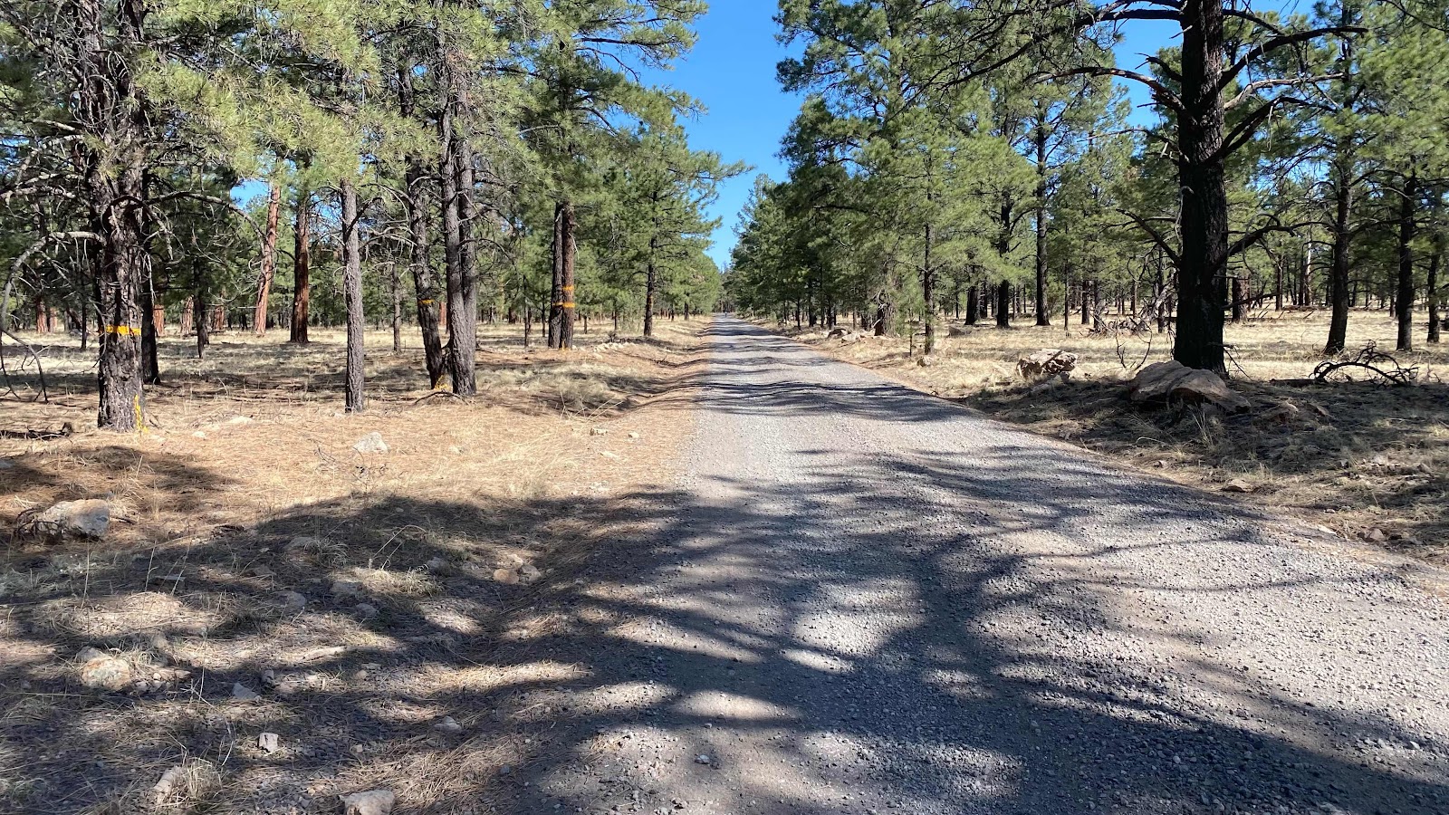
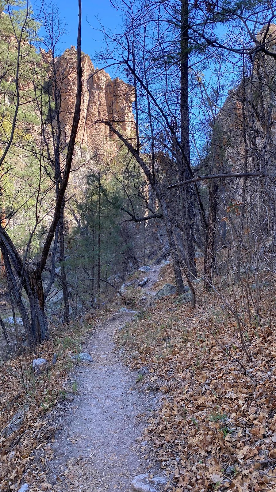
Lots of road walking-it all is in this part of the CDT


The cooking area at the ranch 


The various buildings at the Davile east area


Even the kitchen sink. 


The shower


The laundry
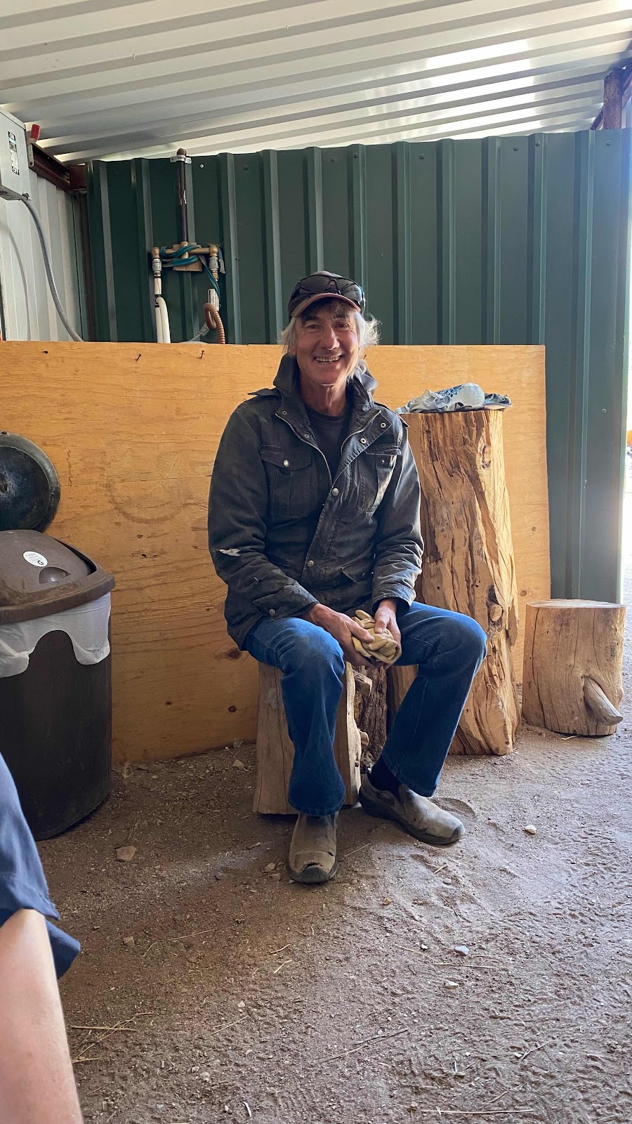

The guy who built all this for those starving, exhausted hikers straggling by his property each day. 


Thursday, April 28, 2022

Day 18 - Tuesday, April 27, 2022 - 16.5 miles - 39,937 steps - MP 1 to MP 15.0 of Pie Town Rd Walk Route - Vert Up - 3037’ Vert Dwn - 908’ - Total Miles to Date - 322.6

When I worked as a hiking and climbing guide with the Boy Scouts back in the late 60’s and 70’s there would be days when it seemed impossible to move. Every step a chore. A sort of malaise overtook your body and refused to leave. We called it “Acute Mountain Lassitude”.  It would pass, maybe lasting only a few hours or half a day. Most times we could not figure out what would trigger it. It just came of its own accord. 
Today, I suffered Acute Mountain Lassitude, but I knew the reason why. 27.4 reasons why. Yesterday I really pushed. I had a good night’s sleep after the long day, but 11 hrs rest is not enough to fully replenish. Yet, today I would have to push through AML to cover the 21 miles to the spigot, our only source of water. Last night I had filled all five of my one liter containers. In the process of cooking dinner and rehydrating myself I consumed three. Waking to only two liters and 20 miles to walk I knew I had to go back to the Aragon Water tank and fill one more bottle. Bird and Grit were camping about 40’ away so I filled an extra bottle in case they needed water for the day. Last night after filling bottles I stripped off my shirt and used my pan and some Dawn dish soap to wash my body and hair. It was way too cold for that this morning. There was ice in my two water bottles. I filled two -one liter bottles and walked back to my tent. Bird was up. I asked if needed water. He said no, he was on the phone to a shuttle service to come pick him up and drive him to Rincon so he could resupply. I didn’t ask, but I assumed Grit was going also. Dallas was good for water, so I poured a liter out on a thirsty looking shrub and finished packing my pack. We were a mile from the trail near the Aragon water source. There are a number of dirt track roads through the area and we negotiated them back to the actual trail, right where it crosses highway 12. Some trail angel had left a half a dozen 16.5oz water bottles laying near the trailhead sign post. Rather than carry it on my back I chugged one of the bottles to “camel up” for the morning ahead. The water was super cold and I got a brain freeze for my actions. 

Again today there was the CDT and an alternate. The alternate had the spigot at 21 miles, the actual CDT had a cow trough fed by a windmill at 18.7 miles. We opted for the alternate for a couple reasons. (1) after the cow trough there is no other water on the CDT until you hit Pie Town. (2) There is a 13 mile highway walk on the standard CDT (3) at mile 25 on the alternate the Davile family ranch has made a CDT “rest stop” right on the route that has showers, washing machines, toilet, food, stoves, WiFi and more. Plus, it is about 7 miles shorter. The only down side is it is all 100% on roads, dirt roads. 

At first things went well. The AML was at bay and the ground slipped by at the normal 3 mph on the flats and 2 mph on the uphills. As the morning moved forward, walking became more of a chore. 20 miles seemed just too much, but it was a must. We had to get to water. However, there was a possibility of an alternate plan. One of the shuttle drivers had reportedly left a cache of water at mile ten. I had read about it in the comments on FarOut. If that was there, we could camel up, refill to three liters and only hike 15 or 16 miles and dry camp for the night. 

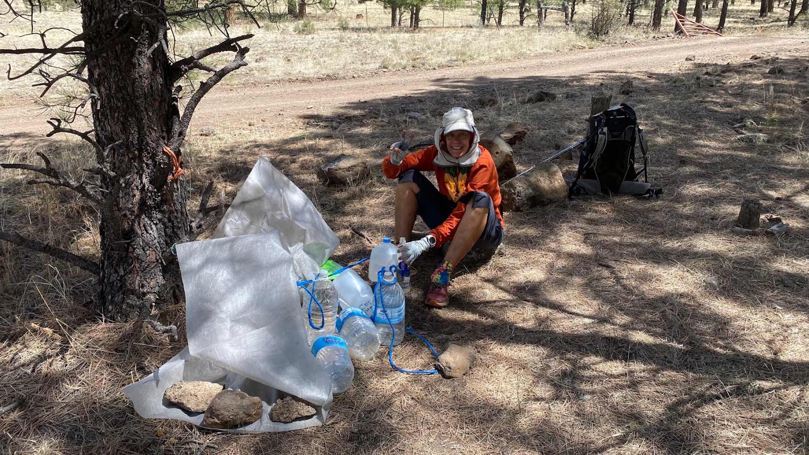
The cache was near the intersection of two gravel roads. There was also a primitive campground at the corner. When we got there, we dropped our packs, planning to eat lunch. Dallas checked up the road we turned off of for the cache. I went back to the campground and check it. Nothing. Then I checked up the road we were to walk, the Mangas Mtn Road. About 0.1 miles up it I saw something white on the right side in some trees. Sure enough, it was a white tarp. When I pulled it back there were about 8 gallon jugs, 3 still full and unopened. We moved our lunch stop to this location and topped off our three bottle each. Yahoo!  Now we didn’t need to go another 11 miles today. Our route took us up the Mangas Mtn road to the top of Mt Mangas, a 1590’ climb in 4 miles. Once over the top and headed down we would camp in the first suitable site. It took nearly two hours to top out. I got there first and tried cell service. One bar. I called Sally as it was her birthday and I had been hoping to get service. Yesterday, I had used my satellite connection through my inReach device to ask Andy and Jeff to get flowers for her. Now that I had service I could call. The call went through, but the signal was so tenuous that it dropped before I could say happy birthday. Dallas topped out rested a minute then started down. I moved down the road a bit and tried again. This time the signal held and I got to talk to her for about 20 minutes. 
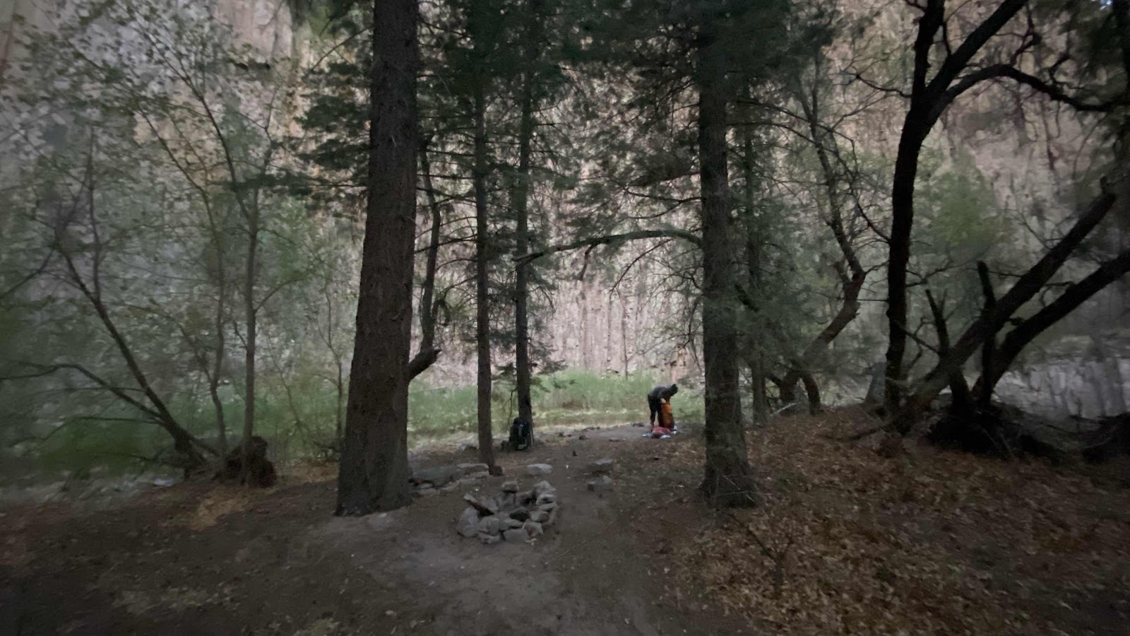
I headed down the other side of the mountain on a dirt road and found Dallas setting up her tent on a wonderful flat spot on the ridge. She thought I might have missed the fork I the road on top and was on the wrong road. 

Before setting up my tent I checked for signal. One bar, enough for five days of texts, voice mails and emails to come pouring in. I dealt all of those before setting up my tent. The wind was blowing steadily over the ridge through the tree tops, but not bad at ground level. The sky was clear blue with a few patchy clouds. I cooked and ate dinner, curry chicken and rice with pineapple, cashews and craisins. Like last night, my favorite dinner and about a quart of it. 

I discovered that while lying in my tent I had a bar of service so I called Andy and Sally and talked until dark. Then, I had to write my blog for the day before, which took me until nearly 10, but it was fun to recount the nasty water 27.4 mile day. Life is amazing!


The orange circle is where the CDT crossed highway 12, The purple  circle is where we found the water cache. Yellow circle is the camp spot on Mangus Mtn. The light blue circle is the Davile Ranch rest stop for CDT hikers. The red line is the actual CDT. 


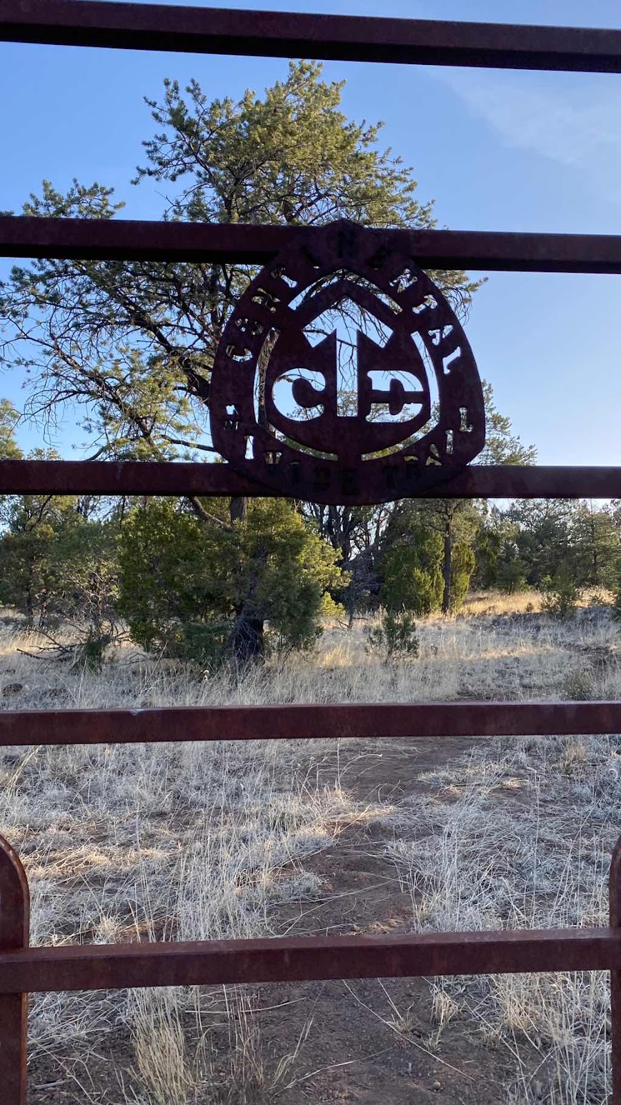
A cool gate at the trailhead at highway 12. 


The trail for the next 35 miles


Dallas at the water cache. 

Day 17 - Monday, April 25, 2022 - 27.4 miles - 63,014 steps - MP 100.1 to MP 365.3 Gila River Alternate Route to Regular CDT - Vert Up - 3972’ Vert Dwn - 4702’ - Total Miles to Date - 306.1

“Water, water nowhere and not a drop to drink”. 


If you noticed the 27.4 mile day that I hiked today you might be wondering why would I hike that far?  What could motivate someone to hike for 13 hours?  This is New Mexico, so the answer is of course water. The story below:


We completed 20 miles yesterday, carrying three liters of water the last 5 or so miles. Three liters is enough to get thru an evening. One liter to drink between where you get the water and where you stop to camp. One liter for dinner and for the drinking in the evening and night and one liter for making breakfast and to drink until you get to the next source. 


Camping site 5 miles before the Dutchman Spring


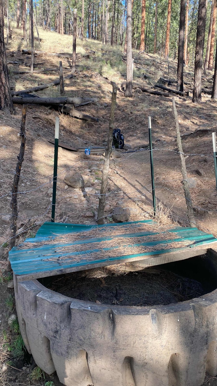
This morning the next source was five miles away, the “Dutchman Spring”. I was awake at 5:45am, had my tent down and pack ready by 6:20am. Dallas was slow to rise so I started up the road (no trail in this part, just forest service roads with zero traffic) toward the water source. I found an old tractor tire in the draw that had at one time been used as a watering trough for free range cattle, but it was dry. Behind it was a vertical piece of culvert a couple feet across with a metal lid. I pulled the lid off and saw water about 30” down. I don’t know how deep the water was. An old #10 tin of beans with the lid removed sat on the ground next to it for dipping.


Dry old tire water trough at the Dutchman


Water in the Dutchman Spring


 I dipped out a can full and filled a liter bottle. I still had my early morning liter, bringing my total volume to two liters. Dallas soon showed up. We had looked at FarOut the night before and agreed all the water sources were sketchy, but that one of them must have tolerable water. The first was described as a seep, but all the crowd sourced comments were stating it was dry. That was five miles from the Dutchman. The next water source was a “pond” that had comments such as “your filter will hate you, but it’s drinkable” and “green and brown but it will do”. That one 7 miles from the Dutchman. The next at 9 miles had these comments:


After that, there were no other sources until 22 miles from the Dutchman. 

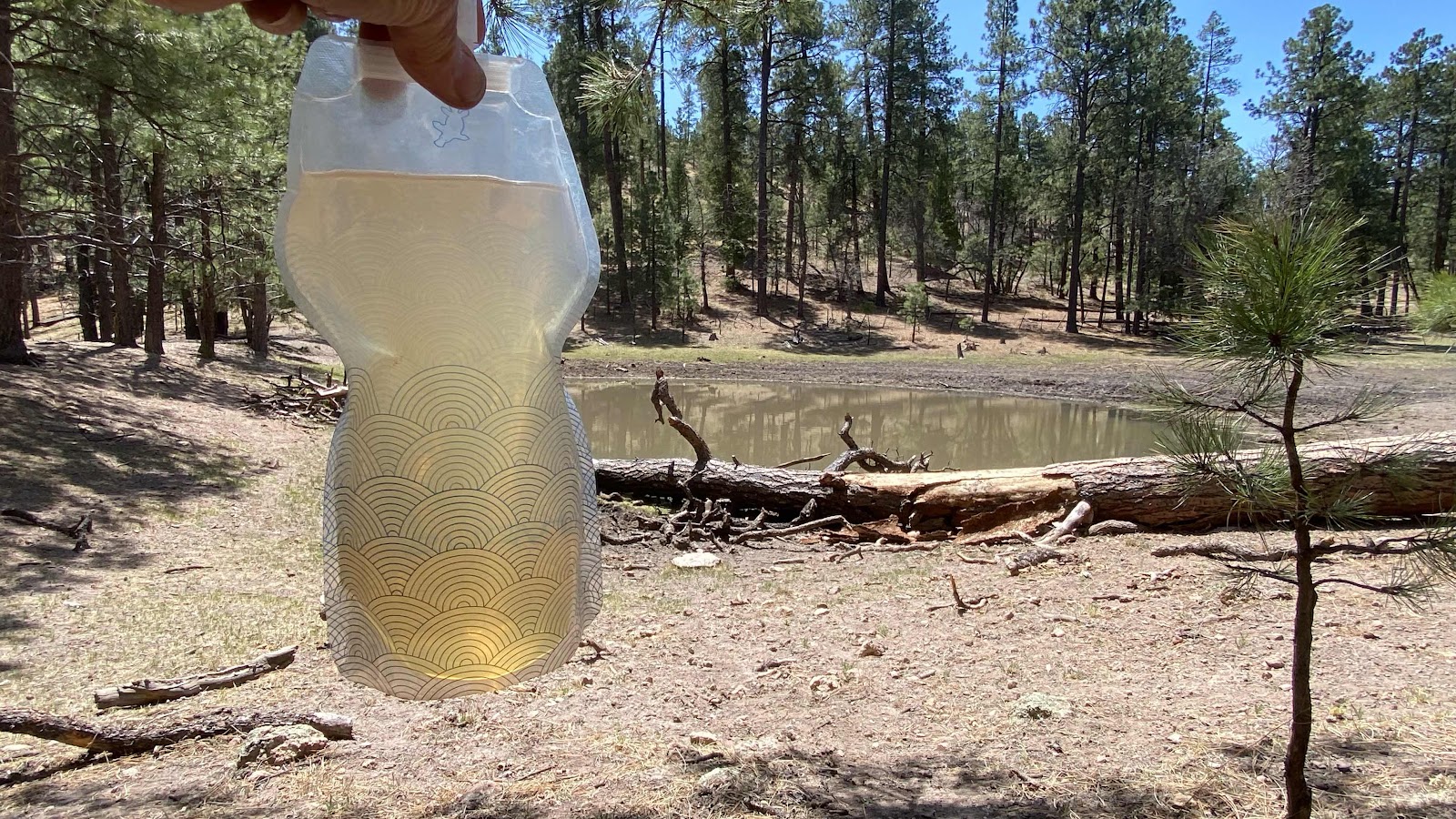
As you can see from this photo, the “pond” was a depression in the ground with some water in it that the cows walk down to and into to drink, then deficate and urinate such that it runs down into the pond. 


All the ponds looked like this. My two liters carried me along for a while but I could see it would not be enough. I laid down on the log lying in the water, scooped as clean a pan of water as possible from the “pond” and poured it through my handkerchief into my bottle. Instead of the recommended 7 drops of Aqua Mira chlorine disinfectant I used 11, hoping it would kill all the organisms living in the liter I had taken.


My liter of “water” taken from the “pond”. 


 It was my “just in case water”. I still had a liter from the Dutchman (7drops of Aqua Mira) that was clear and delicious. But, we had to get to the “good” source at 22 miles out, named the Aragon Well to have enough water for the night and the next day. 

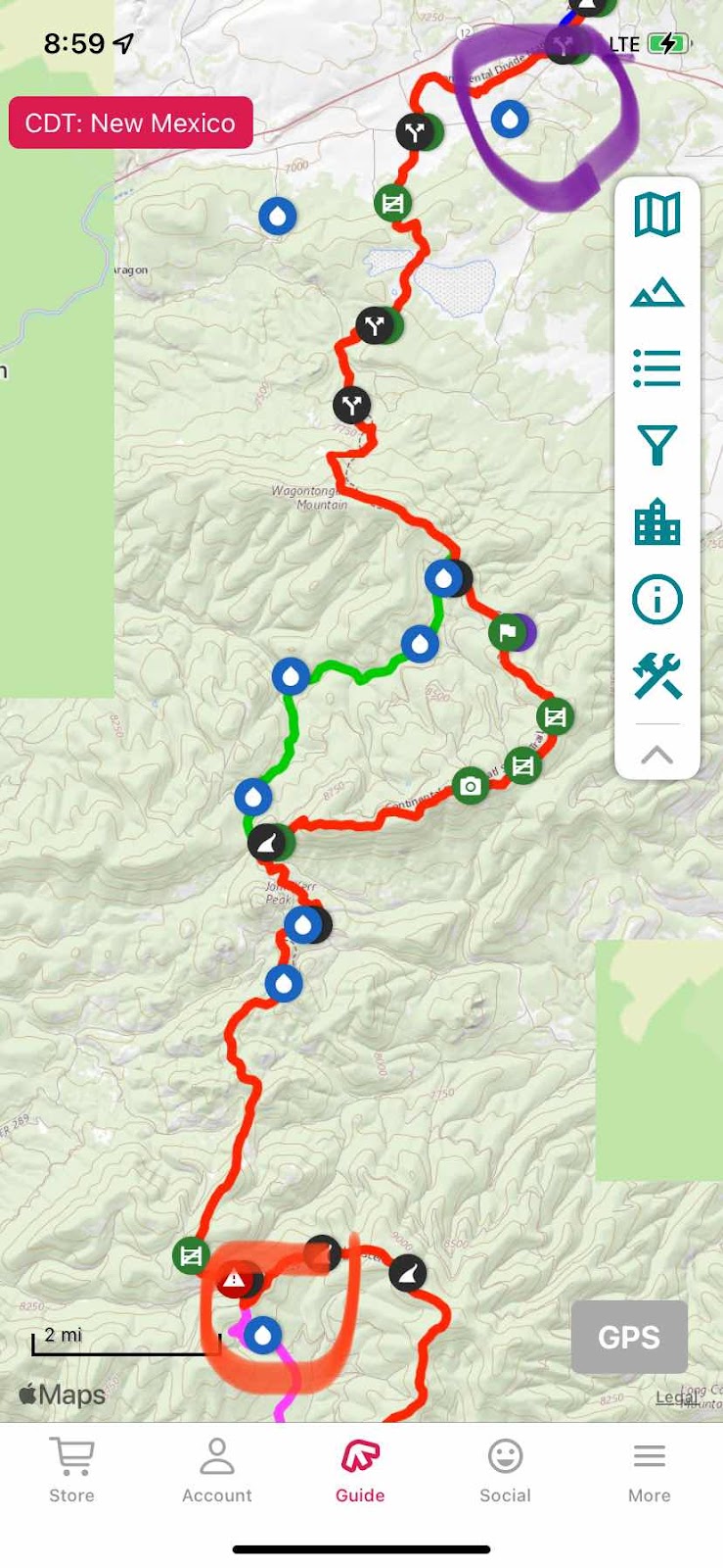
The CDT in New Mexico travels through Forest Service land and BLM land. It is thoroughly cut up with roads, so much of the “trail” is really washed out old roads. This means there are many alternate routes as there are roads everywhere. We picked an alternate (shown in green on the map, the CDT is red) because it had less elevation gain and loss and it was two miles shorter. You also can see four water sources marked on it. Three were described as dry (they were) and one was another “pond” with chocolate water surrounded with cow pies. We motored past those with our sights set on the Aragon Well. 


The Dutchman Spring is circled in red, the Aragon Well is circled in purple. Tha alternate route is the green line, the CDT is the red line. 


We finished the alternate at 3:30pm. We had 7 miles to go to get to the road that accesses the Aragon, then a mile up the road. 

While completing those last 7 miles my liter of Dutchman water quickly disappeared. I was very thirsty in the late afternoon sun, but to quench my thirst I only had the “pond” water left, brownish, greenish and cloudy. It was a battle between revulsion and thirst. I put off the inevitable as long as I could, but when my tongue started sticking to the inside of my mouth I had to act. I don’t know what cow piss tastes like, or I didn’t until then. Trusting the chlorine did it’s job I drank 3/4 of the “water” in that bottle. That was enough to get me to the Aragon. 

We reached the road at 6:15pm. Along the way we caught up with Aaron, a mid twenties kid from Dallas who had not taken the alternate and said the CDT route really kicked his butt as it ran the ridge and was continuously climbing and descending. 

I visited the bushes to do some business while Aaron and Dallas walked the mile to the Aragon. I soon caught up. We were all dragging. Tired, exhausted and thirsty. Luckily, the water here was somewhat clear, not green and with filtering or chlorination was good. 

It was in a steel, open topped tank 40’ in diameter with walls about 7’ high. The owners had put fish in the tank to eat the bugs and they could be seen swimming around. There was a metal trough next to it I could stand on and reach over the side. The tank was not full, the water surface about three feet down. I could just reach down and scoop water from its surface into my cooking pot. In this manner I filled all our bottles. With five liters yet to be treated in my pack and the sun setting we moved a couple hundred yards away, found a level place in the field to pitch our tents. Once inside, I cooked dinner (spaghetti-my favorite meal and a quart of it which I happily downed), blew up my ground pad and snuggled into my sleeping bag, not necessarily in that order (I ate dinner prone in my bag-it cooled off quickly when the sun went down). 

Water truly dictates how far we go each day, where we stop and for how long. If. It weren’t for cattle troughs, cattle ponds and water tanks, there would be no water for those of us attempting the CDT. 

Full of spaghetti, snuggled in my bag, the temps outside dipping down through the thirties, I reviewed tomorrow’s water sources on FarOut. None. The first source was a spigot 20 miles away that crowd sourcing said was operating and had good water. Yes, there were a few cow ponds along the way, but I planned to carry three liters of water, 1 for the first ten miles while the day is cold and I don’t sweat much and two for the last ten miles when my consumption goes up with the heat of the day. Nothing is certain, so I am ready to alter plans as the day progresses. It’s an adventure!


Another cow pond, marked as a water source 


The view out over New Mexico as we descended to the Aragon. 


Sorry, so tired I forgot to take a photo of the Aragon or our camping spot. 

Day 16 - Sunday, April 24, 2022 - 20.6 miles - 48,283 steps - MP 80.3 to MP 100.1 on the Gila River Alternate Route - Vert Up - 1646’ Vert Dwn - 1282’ - Total Miles to Date - 279.7

Bye, bye Gila River. I wadded across you 184 times as I hiked 42 miles of your length. You were beautiful in every way. Cliffs, trees, canyons, winding course and abundant water. Now onto the rest of New Mexico, dry and flat, but beautiful in its own way. 

Holy smokes!  Did it get cold last night?  The forecast was for 32°. I checked my water bottles periodically throughout the night. It wasn’t until about 6:00am that they started to freeze, about the time I was getting and packing. I used the mittens Julie Fogde knit for me to keep my hands warm as I stowed my gear. We followed faint roads and trail up into the hills. It was now 6:30am and it seemed colder. We were on the bottom of ravines where the cold air settles, so perhaps it was colder. About two miles from where we camped we found Aaron (Full Send) cowboy camping. Kelly was there to. He said his thermometer read 9° this morning!  No wonder it felt so cold!

Yesterday the hiking was through tall pines and junipers. Today it was primarily grasslands. Gorgeous! Instead of down in a river valley the trail was up on a mesa with an expansive view. Of the 20 miles we walked today, 17 of it was on gravel or dirt roads. The scenery was not marred by hiking on a road. It does have advantages. For one, you can make better time on a road than on a trail. You don’t have to be as careful with foot placement. But most importantly, you get trail magic, mobile style!!

I was walking down the road, ear buds in, listening to “Collapse” by Jared Diamond when I heard a truck approaching from behind. He slowed as he passes, then stopped and asked if I wanted a Gatorade or a Coke. I immediately said yes, please. He jumped out of his truck and from the bed of the truck handed me two Gatorades, a can of Coke and two 16oz waters. We talked for a minute as I downed the Coke, and then he was off. I had just been thinking about how thirsty I was getting and had been about to reach back in my pack for my water bottle when he stopped. I downed the Coke and both Gatorades before he was out of sight. I instantly went from slightly dehydrated to content. I stuffed the empties in my pack along with the two waters and kept walking. The world is full of incredible, kind and generous people!! 

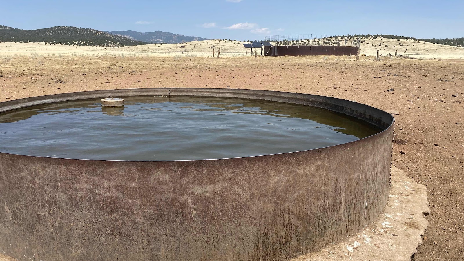
About two miles further on was our only water supply for the afternoon. A huge open water tank (40’ diameter) about a quarter mile off the road. The weather was perfect. Air temp about  60-65 degrees with full sun and a slight wind. Wonderful for walking. Instead of a liter every five miles, one per ten seemed sufficient. 

We dropped our packs off in the shade of a pine tree, grabbed a few empty bottles and hoofed it across the open field to the tank. There was a smaller tank in front. It was full, but the water was kind of green. We walked up to the larger tank and found a generator operating, providing power for the well pump. Fresh water was pouring into the huge tank from a pipe. Clean, no bugs, no algae. Aaron was with us and we all three filled our bottles. Not to take chances with sickness and health, we filtered or purified the water when we got back to our packs. This all happened at mile 96.3. Since we camped at 80.3, we had about four miles to go to get our 20 miles in. The road ran straight as an arrow for three long miles. We lugged our water until we reached 100.1 and a nice place to camp off the road. It was now about 3:30pm. With the sun still shining brightly I had my solar panel work at charging my satellite peraonal locator beacon device and applied Shoe Goo to the bottom of my shoes to slow their wear. It is so nice to have a few hours on the afternoon to rest and relax and let my body recover after pushing through 20 miles. I am not as fatigued at the end of the day as I was a couple weeks ago. Maybe I am starting to get my trail legs under me. 

I’ve covered 60 of the 140 miles before my next resupply. This is one of the longest of the whole CDT. To date my watch reports I have walked 279.7, a good distance but there is still a long way to go. 


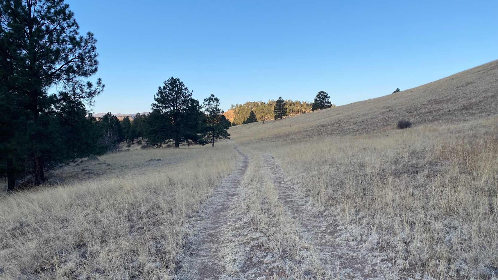
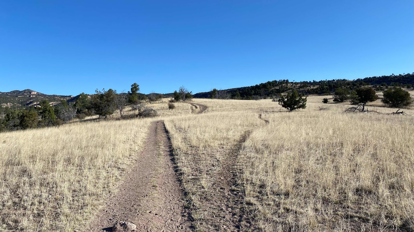
The trail was this faint double track heading up the hill. 


A cairn marks the route through the grassland. 


It was sooo cold. About 10° at this time an place of the morning


So different now than the Gila River just a few miles back. 


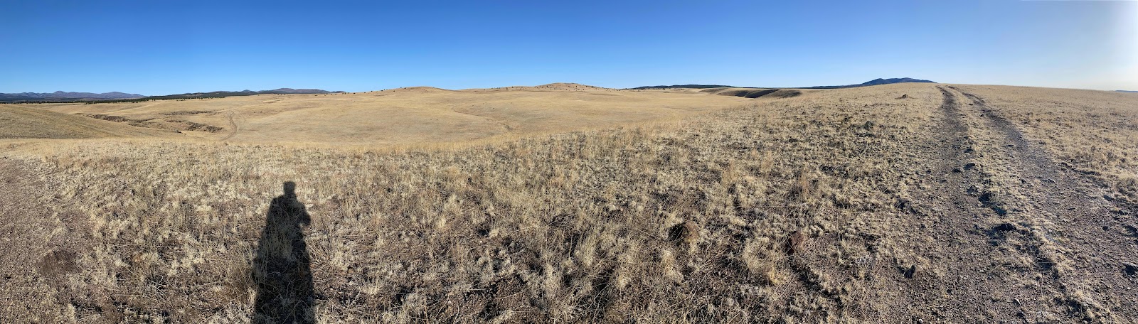
Open prairie all around. This is at about 7300’. 


The trail is this double track. I guess this is the price you put for walking the Magnificent Gila. Miles and miles of road walking. It was all beautiful. 


After about five miles the trail became a substantial gravel road. This we followed for nearly ten miles. 


The cattle watering tank is visible in the distance. Here we are taking advantage of the dry air, sun and wind to dry the frost from our tents that accumulated over night last night. 


The smaller, murkier tank in the foreground with the big one behind. 

A
The big tank was filling, giving us a fresh source of pure, clean water. 


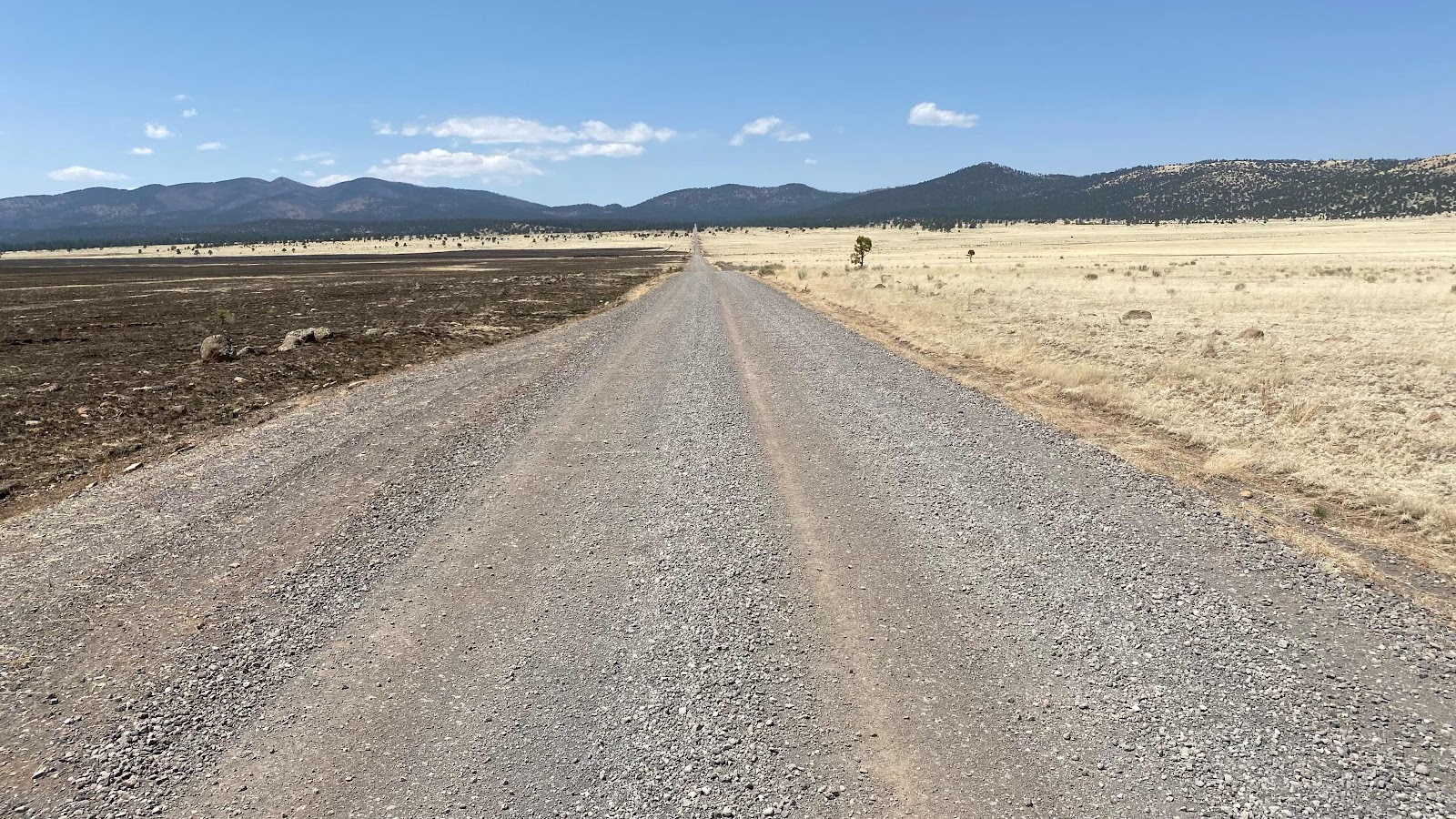
This is the road walk we faced after adding 6.6 pounds of water to our packs. All the way to those mountains. 

Day 15 - Saturday, April 23, 2022 - 23.2 miles - 47,438 steps - MP 59.5 to MP 80.3 on the Gila River Alternate Route - Vert Up - 1706’ Vert Dwn - 672.9’

Today is the day we finish the Gila River Canyon portion of the CDT. I must admit after four days of wet shoes and 50 miles I’ll be ready to be done with it when the day is over. But for now, I am still relishing every moment. It is such a treat to hike such a uniquely beautiful area. Soaring canyon walls reaching 500’ right out of the river that twists and turns like a giant luge track. Serene forests. Beaver dams blocking the river and flooding our route. The river running over slabs of solid bedrock. The constant murmur of the river as it flows downhill. The wind howling in the treetops. Beautiful!!

Hit the trail at 6:30am. Within 200’ the river had to be wadded, soaking my feet and providing a cooling not needed at 6:30am (it was 37°). The river twisted and turned up the cliff lined valley as it had the days before. 

At about 8:30am the river had to be crossed, but instead of a rocky or sandy bottom, it was solid bedrock. All the rocks underwater have been slippery, but when it is individual rocks or pebbles your foot sinks in and wedges between the loose rocks and provides stable footing. On these slabs there was nothing to wedge your foot against. It could just slip out at anytime. As I crossed, one of my feet slipped out from under me and I came crashing down frontward into the river. It was only knee deep at that place which means I soaked the front of me, face to shins. But, it was shallow enough that I caught myself with my outstretched arms on the bottom bedrock.  Plus, I still had to continue across the river. Later in the day I noticed my left shoulder becoming painful. I must have strained something pretty good, because as the day wore on it got worse. By nightfall, sitting in my tent I couldn’t move my arm to reach for things without stabs of pain. I suspect it will be a week of moaning until it heals itself. Bummer. 

Yesterday, I met a guy on the trail going downstream. He wanted to know how bad the beaver dams were downstream because the lakes they form can go from side to side of the canyon, flooding the river bed to a depth of 6’. I had not encountered such a thing and let him know. He told us there was a big one further up the river. Reading comments in FarOut I learned about class 5 scrambling to get around one such pool formed by a beaver dam. We found it today and had to negotiate it. From the descriptions I assumed the water was 6’ deep and looked for a way to climb around it. The river made a hairpin turn here so I climbed the rock rib inside the hairpin. I got up it okay, but when I climbed to the top of it, about 100’ high, it was unscalable cliffs to descend on the other side. I down climbed back to my starting point and began to survey the other side for a route. Just then two things happened. Aaron, another thru hiker showed up and from my vantage point on the left side of the river I was able to guide him on the right side around some vertical rock faces. Also, Dallas decided to test the 6’ deep reports and found the pools to be only crotch deep. We all waded the pool the two times required to get around the hairpin and were wet, as usual, but on our way again. 

There were stretches of trail for up to a mile that were well established and quick and easy to follow. But there were times it was nearly impossible to follow and flailing in the brush and weeds were required to find the path again. All in all, an awesome adventure. 

We emerged from the river drainage at Snow Lake, a reservoir at the head of the valley and moved to the camping area to use the toilets and fill our water bottles at the faucet indicated by FarOut. The faucet was not operating. hmmmm . . . I had a liter. The lake water was way down, a long walk away and very brown. FarOut comments reported water a couple miles up the route, now a gravel road, so we decided to move on. We had to descend a steep embankment to a parking lot and there sat a pickup with its owner standing next to his open driver's door. I Yogied (PCT verb for asking for something, like Yogi Bear and the pic-i-nic baskets) him for water and he was excited to be able to help us and gave us 7 - 16 oz bottles of water which we poured into our water bottles. That was enough for tonight’s dinner, the night and tomorrow's hike to the first available water. We walked to mile 80.3, found a flat spot to camp and set up our tents. 

The continuous stream of available water in the Gila River is behind us and we are back to finding water in cow troughs and tanks and long water carries. 


Crossing the Gila again . . .


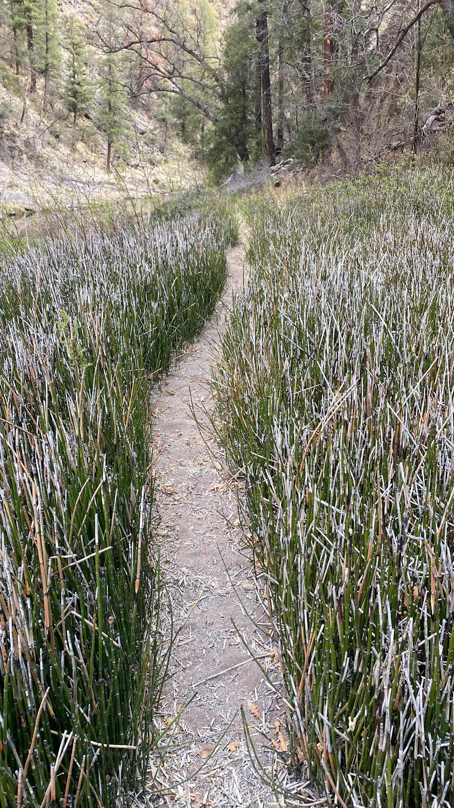
This portion was well defined trail. Much better than trying to wade through these reeds. 


The valley widened as the upper end got closer. 


Day 14 - Friday, April 22, 2022 - 19.9 miles - 47,405 steps - MP 39.6 to MP 59.5 on the Gila River Alternate Route - Vert Up - 2406’ Vert Dwn - 1122’

Today was a full day on the Gila. 20 miles up the river. Sort of. 

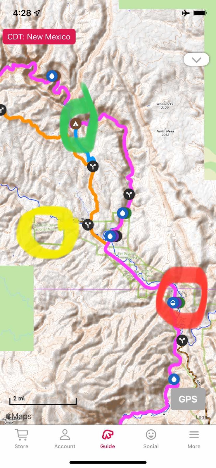
You can follow along on the map. 


We left the Gila River Hot Springs campground (red circle) at 6:00am, traveling by headlamp for the first 15 minutes. We had highway walking to do for at least three miles. At three miles there is a fork in the road. I wanted to see the Gila cliff dwellings, a National Monument park (up the orange line). Dallas was not interested. I turned left to walk the two miles to the cliff dwelling park. She went straight to pick up the trail on the Gila, following the pink line the whole way.  I was headed to the yellow circle, the cliff dwellings. She was following the pink line. We would try to rendezvous at the green circle. My route went up the highway. At one mile up the road was the trail I would take to rendezvous with Dallas. But, I had to walk a mile further to the end of the road where the dwelling park was, then when finished seeing the dwellings retrace a mile to take the trail over to the Gila river trail (pink line). 

I walked the two miles up the highway, found the park, dropped my heavy pack (it is 140 miles to the next resupply in Pie Town. At 20 miles a day I have 7 days of food on board). It was now 7:30am. I planned to walk up the trail, see the dwellings, grab my pack and head back down the road a mile to the trailhead and start hiking to the Gila River. 

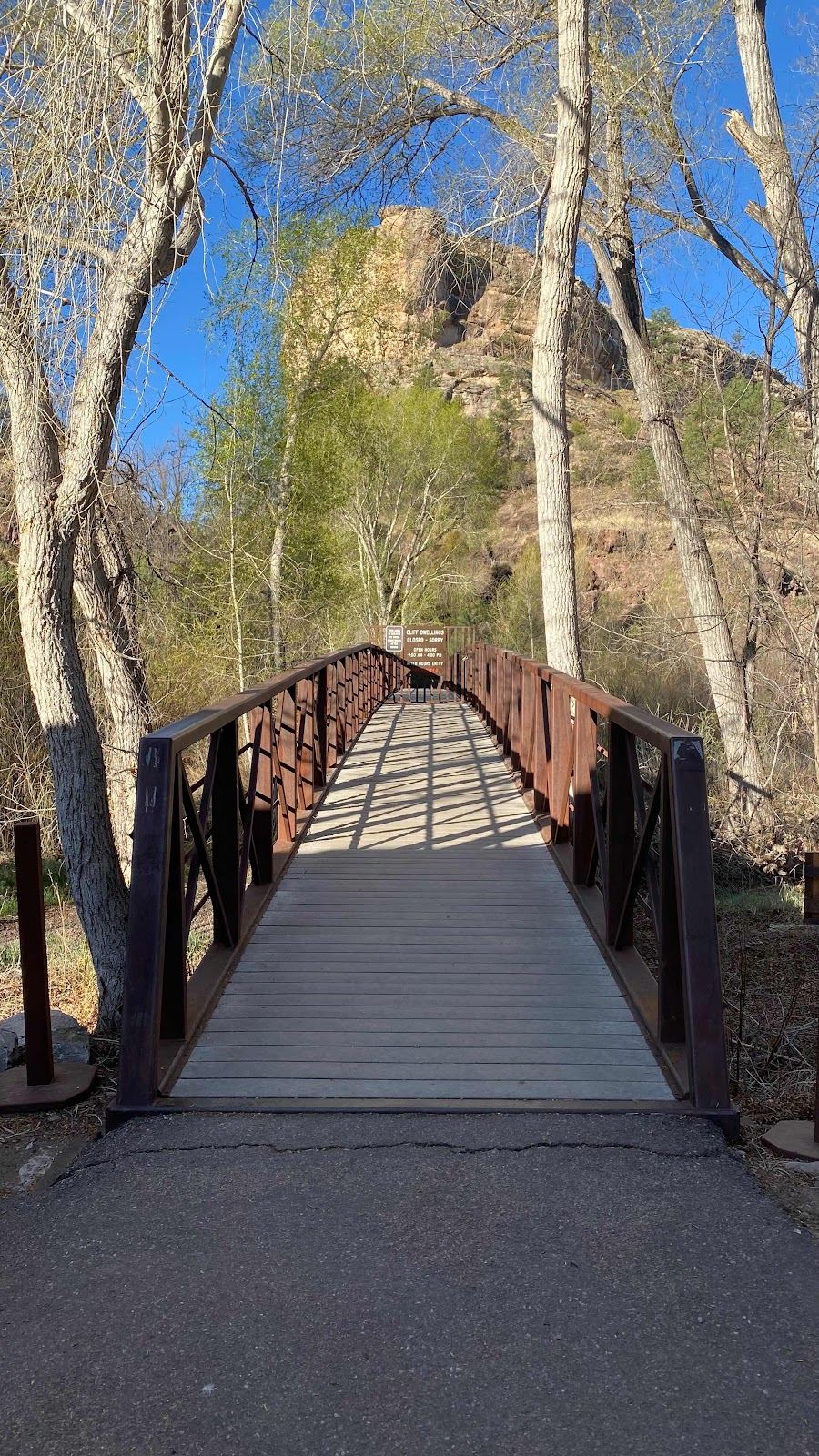
I started across the bridge that marks the entrance to the dwellings but was stopped by a gate with a sign saying the hours were 9-4.


 What!?!  I did not see this anywhere when researching. Now what?  Wait an hour and a half?  Not practical. So back down the road I went to the trailhead and started up and over the ridge that would drop me down Bear Canyon to the Gila. 


When either I or Dallas got to the junction we were to satellite text the other so we could figure out how to meet up. As I emerged from tight walled Bear Canyon 


I found Dallas sitting on a log texting me. That was amazing timing. 

The Gila is famous for its winding river through tight winding canyons. It did not disappoint. It was fantastic. As I said yesterday, as glorious as Yosemite, if you can believe that. 


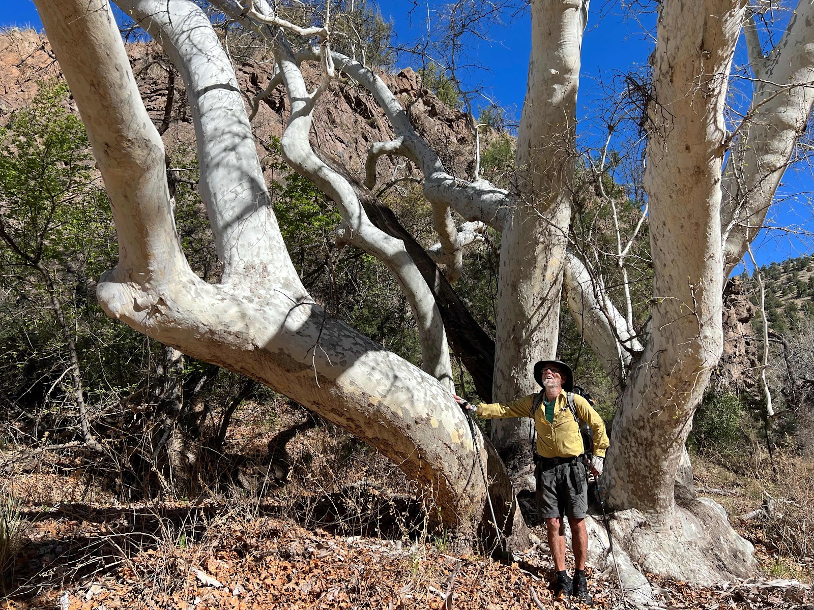
Me and the focus of my obsession, the sycamore tree


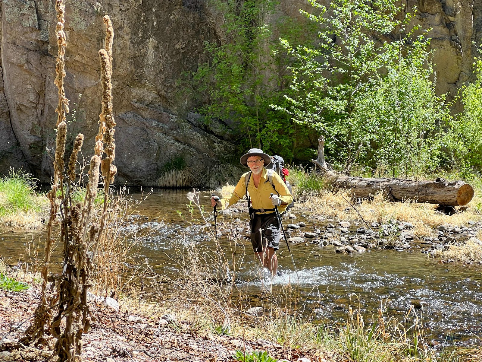
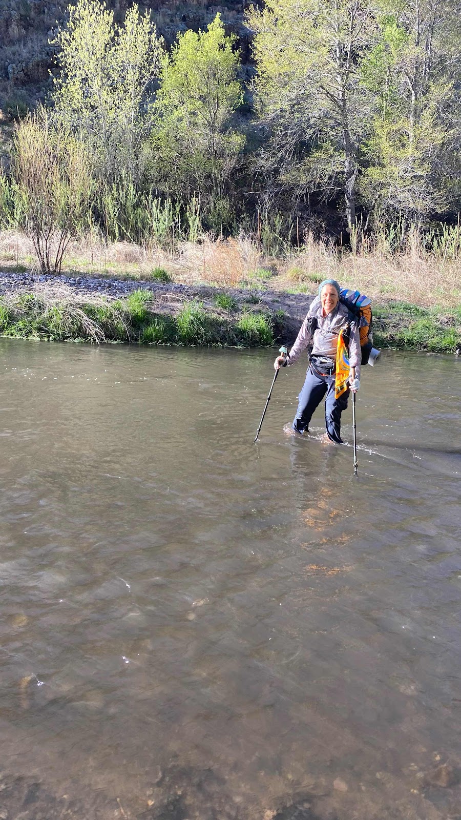
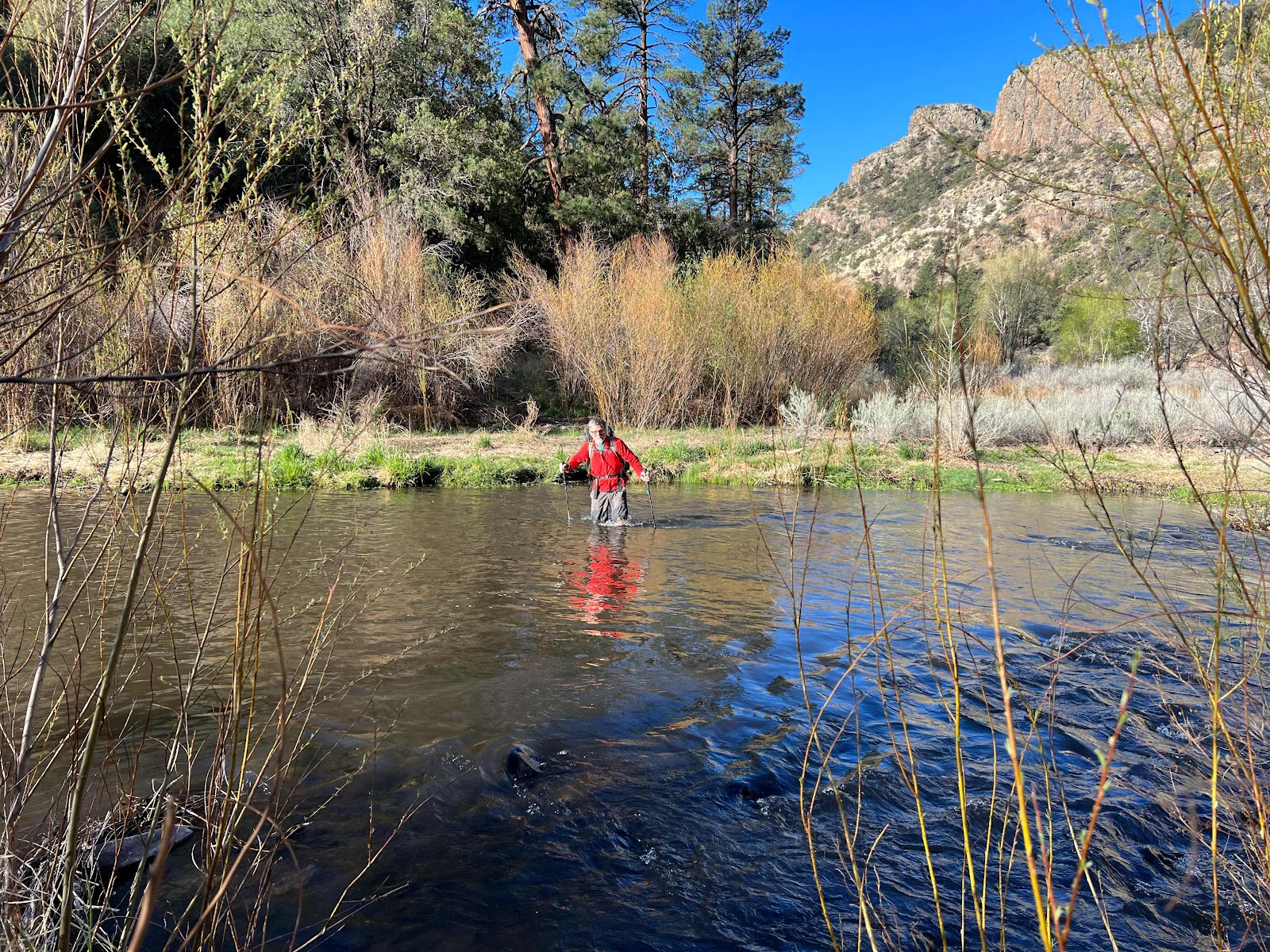
Another aspect the Gila is famous for is the number of times the trail crosses the river requiring a hiker to wade it. I had opened a notebook pad on my phone and typed an “x” each time we waded across. In ten miles we wadded the river 64 times! What this means is we walked 10 miles with wet heavy shoes and wet feet. But, what glorious fun!


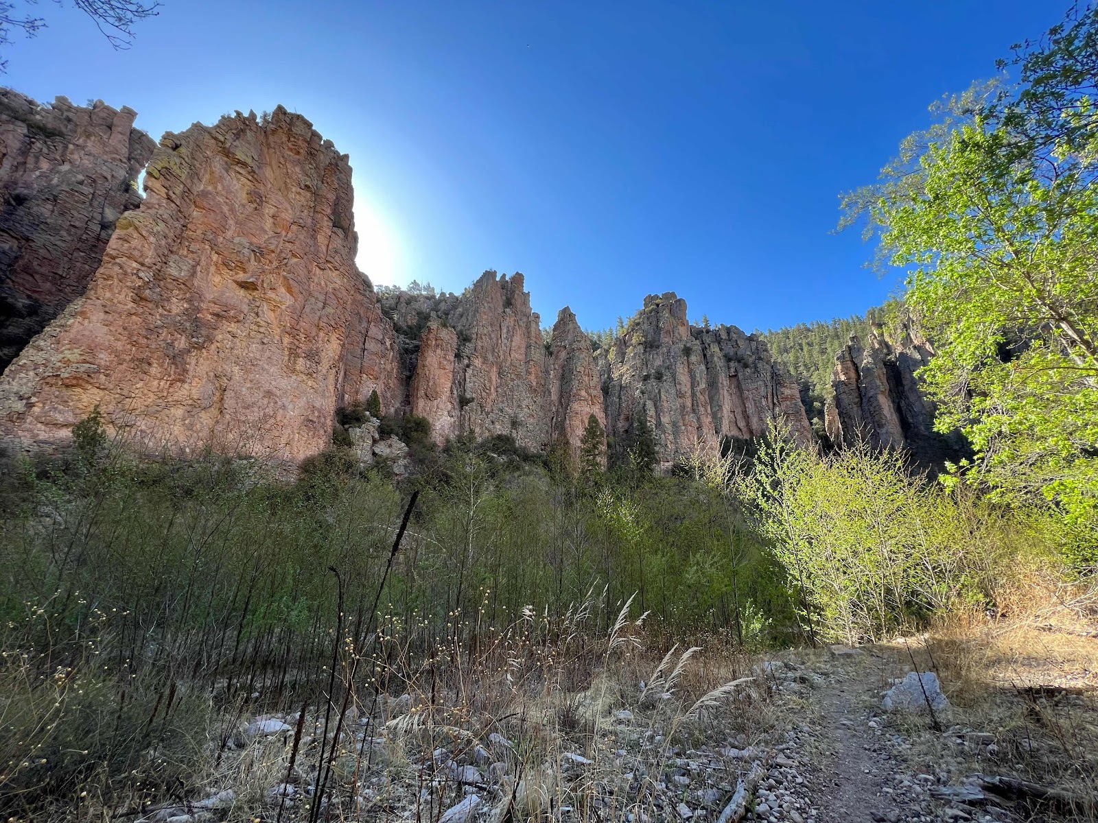
The sycamore trees were as magnificent as ever, backdropped by red cliff walls. Spectacular!!

We have to make 20 miles a day to get to Pie Town before we run out of food. Doc Campbells Post is at mile 39.6. We found excellent camping at 59.5, just a tenth of a mile short of the necessary goal. 


My back was sore from 10.5 hours of an over filled backpack riding there. I was fatigued. Tent up and crawl inside to lay down. It was about 4:30 when we arrived. I tended to my feet, rinsed my shoes and hung the insoles and my socks up to dry, a nearly futile effort. We were camped on a 180° bend in the river on the inside of the bend. Across the river on the outside of the bend were sheer 150’ walls of vertical rock. It was magnificent, but it also blocked the sun. Still, because of the low humidity, everything but my shoes dried overnight. 

Tomorrow is the the last day on the Gila. There are 20 miles left to wind through and who knows how many river crossing to wade through. 


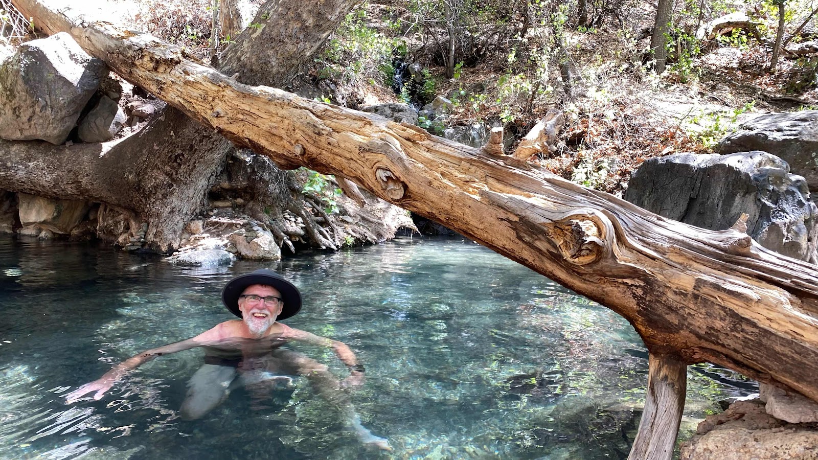
There was a hot springs along the trail. I had to stop in and soak for a few minutes. 


Another sycamore photo


No chance of dry feet. 64 river crossings today. 


Sun rise in the Gila Canyon. 

Day 13 - Thursday, April 21, 2022 - 10.4 miles - 25,201 steps - MP 29.7 to MP 39.6 on the Gila River Alternate Route - Vert Up - 704’ Vert Dwn - 626’

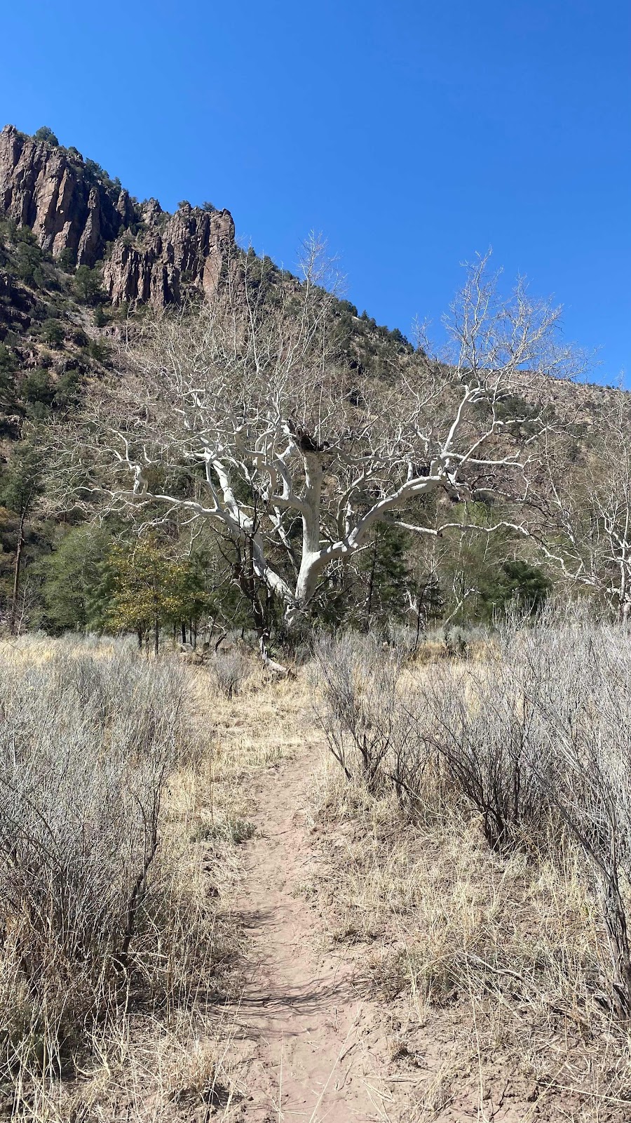
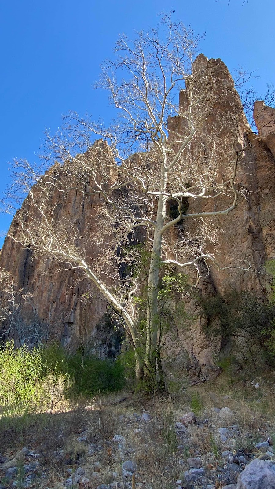
If I died right now and the forensic team was examining the contents of my phone, they would conclude I was obsessed with Sycamore trees. These magnificent giants were everywhere on our romp up the Gila River. Brilliant white bark, huge limbs sometimes horizontal for 50 feet. Delicate buds emerging.  from their winter sleep gracing the tips of these gigantic branches, last year’s seed pods scattered about on the ground. I spent the morning photographing these gentle giants trying and yet failing to capture their magnificence. It is not just the trees. It is the red rock cliffs behind them. The rushing river before them. The rising sun illuminating the upper portions of the cliffs making them glow a brilliant orange. The early morning calls of the birds flitting among the massive branches. The green grasses growing around their bases. The lime green brilliance of the cottonwood’s new growth flowing in the sunlight. All these elements created a breathtaking experience as we passed by, walking at 2.5 mph, drinking in the glory. 

This Gila River canyon is as beautiful as the Yosemite Valley. What it’s cliff lack in height they make up in length. Whereas Yosemite Valley is about 5 miles long, the Gila stretches for 60, it’s river twisting and winding down its narrow flood plain. What a joy to walk through!

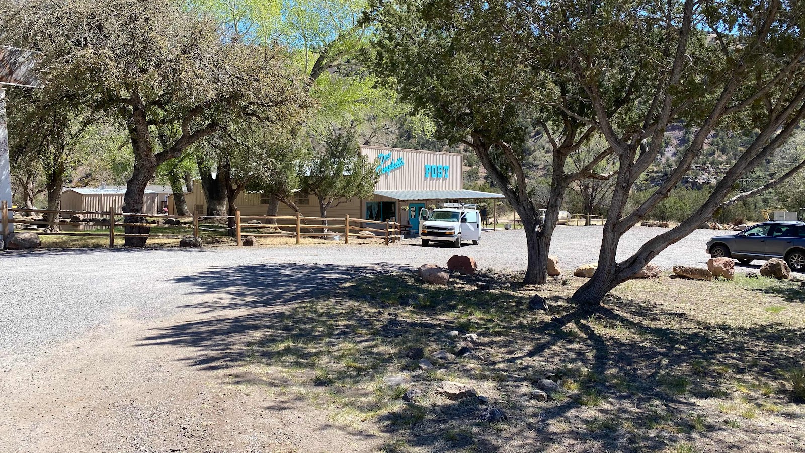
Today it is 7 trail miles up the Gila River to Hwy 15, then three miles of highway walking to Doc Campbell’s Post, a store that accepts resupply packages. Everyone on the CDT uses Doc’s place to resupply because the next one is 139 miles away in Pie Town. Averaging 20 miles a day means loading up with 7 days of food. At about 2 pounds a day, this adds about 14 pounds to the pack to start with, a daunting weight. 

We arrived at Doc Campbell’s at 10:30am. He opens at noon and closes at 4:00pm. We had an hour and a half to dry our shoes and socks in the sun, nibble on food still in our pack and chat with everyone as they arrived. The entire crew from the hostel in Silver City came trickling in. Bird (man, 28 from Detroit), Aaron (25 from Dallas), Chester, Jean-Bruno (man, 59 from France), King Size (woman-60 from Oregon), King-go (man, 27 from Portland), Coney (woman, 25 ish from Switzerland) and about a dozen more. Everyone was sorting the resupply boxes they had miles to themselves, counting their meals and packing them in their packs while making frequent trips onto the store to buy things to eat. There were two power strips attached to the wall outside and every plug was utilized as everyone was charging their devices: phones, batteries and PLBs. 

Docs has a WiFi connection, but because of their remote position up a long dead end highway their service is slow. When 25 hikers all get on line to upload blogs, check weather and trail conditions and call home the WiFi is brought to its knees. I tried multiple times to upload my blog with photos and finally had to delete the photos to get it to upload. 

Long Size had put her clothes on one of two washing machines available and asked if I would like to throw any clothes in with hers. I said yes and followed her to the Linsey room. While she turned her back I took of my grubby shorts and underwear and put on my lightweight “gym” sorts. All my clothes were now in the wash. 

Back out at the front of the store under the big awnings I learned that Jean-Bruno’s phone had been submerged in water and was kaput. This is a catastrophe. All communication is lost, but most importantly all navigation is lost as everyone use the app FarOut to find their way. He had his phone in his pants pocket and when wadding across the Gila River, which is usually a knee deep wade, a particularly deep spot wetted his pocket and subsequently his phone. He tried to dry it and get it working again, but it did not recover. 

All the advise given in all the literature says to carry paper backup, that is maps and a compass, but I know of no one who carries any backup. 


Except me. 


I carry a second iPhone just in case mine breaks. When I learned of Jean-Bruno’s predicament I searched him out and offered him my backup phone to use until he could buy a new one in Grants, NM, about 240 miles up the trail, about two weeks away. His eyes lit up, his smile was enormous. He was thrilled. It took us half an hour to make sure we got his accounts set up and everything was working properly. 

Kings Size had a campsite down at Gila Hot Springs campground about 1/2 mile back on the highway. She offered us to join her. We decided to, even though it meant going backwards. The lure of a hot springs to soak in was very appealing to me. Dallas and Magic Mike were already down there because I spent so much time getting Jean-Bruno set up and calling home (now that most of the hikers had abandoned the WiFi and I could call).

When I got to the campground I paid Carla the $10 fee for camping and immediately slithered into the hot springs. A couple vacationing from Australia were soaking as well and we started talking. 90 minutes later we were still talking although they had to leave. Another 20 minutes went by. They finally left, but not before giving me their email, phone and address in Australia with the expressed demand that we call them and stay with them if we make it to Australia.   

By now it was nearly dark. I set up my tent, organized my gear and was about to crawl In when Sally called. I got to talk to her for 45 minutes, only interrupted three times by dropped signal. It was after dark when I climbed in my tent, wrote for a few minutes and then fell asleep. 


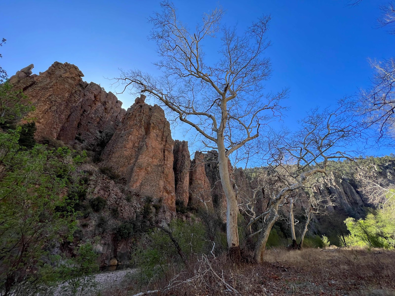
Giant Sycamore trees populate the Gila River Valley. Their white bark stands out amongst the red rock and blue sky. 


Huge and old, they are spectacular. 


The crossings continued today. 27 in 7 miles. 


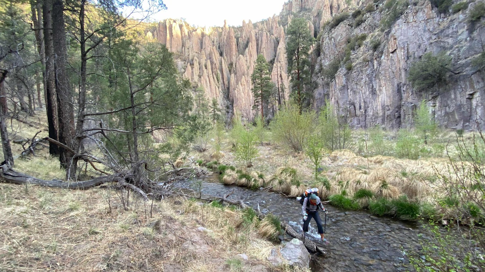
Me wadding across The Gila in the early morning light. 


Doc Campbell’s Post


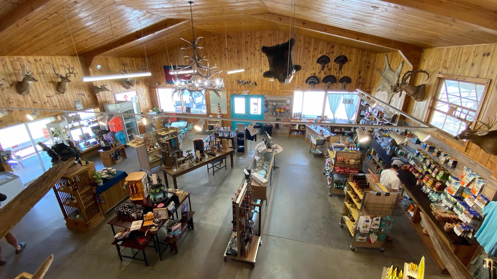
Inside the store. 


King-go and Coney in the hot springs. 


Our camping area at Gila Hot Springs