Monday, June 20, 2022

Day 54 - Friday, June 17, 2022 - 20.6 miles - 54,027 steps - MP 1096.4 (Alpine Bowl of South Cottonwood Creek) to MP 1117 (trail junction to Lake Anne Pass)- Vert Up - 4146’ - Vert Dwn - 4904’ - Total Miles to Date - 856.2

At this point, Day 54, you might be wondering why do I like doing this and how did I get started?


I had the honor of growing up around some incredible men. Tom Macartney was our Explorer Post leader. He put so much time and trust into each of us, instilling confidence and guiding us. Max Eckenburg at Camp Sheppard was dynamic and full of stories of the founding of Seattle Mountain Rescue (SMR), the CCC days and rescues on Mt. McKinley and others. Ome Diaber, first ascent of Liberty Ridge on Rainier, founder of SMR, inventor of SnoSeal and adult on some of our Rainier climbs. Larry Penberthy, founder of Mountain Safety Research (MSR), who would work with us at Sheppard on roping and belay techniques and would donate his latest climbing inventions to our camp equipment room (Thunderbird Ice Axes, stoves that ran directly off the fuel bottles and more). George Uchida, who among other notable accomplishments had Washington Governor and Transportation Secretary under Bill Clinton, Gary Locke as a scout in his troop. 


These men and others guided me, taught me and gave me incredible experiences. And yet, the most important person I have not mentioned. My father. It was his guidance, teaching, patience, expectations, enthusiasm and love that instilled in me the desire to know more, work harder, explore and seek out those growth experiments that now and back then define my life. Without him I would never had the chance to meet these other great people in my life. 


Think of this. As Scout Master of my troop he organized a week long hike for us 11 year olds. Not just any hike. We loaded our packs into Kenmore Air Harbor radial engine Beavers and flew to Lake Chelan, landing at the Lucerne dock. We off loaded, piled into “taxis” and switchbacked up the old haul road to the old copper mining town of Holden (incidentally, Larry Penberthy worked there as an assayer). Here we started our hike back to the west side of the mountain. Pretty cool dad, huh?  And the next year he thought it would be even cooler if we hiked west to east and then flew back over what we had hiked so we could see it from the air.  He could have taken us to a scout camp where counselors and staff work with us and he can sit around and talk with the other adult leaders. Little responsibility. Nope. Plans, leads and pulls off an amazing adventure for a bunch of 11 year olds. Twice. When your dad does these kinds of things, it rubs off. 


We were canoeing the Snohomish river. There is a big rapid with giant haystacks. Below the rapid there is a sweeper across the current. Us boys, two to a canoe make it. My dad gets caught by the sweeper and the canoe gets broken right in two, but the aluminum gunwales hold the two halves together, one half under the tree the other on top. Pinned by the current. After an hour and using ropes we free the canoe and z trailer it home. Throw it away? Nope. Cut out the broken pieces, make new gunwales and fiberglass it back together. A little shorter, by a foot or so, but fully usable. What did I learn? You can do anything. And countless other stories. Countless. So, yes, I was blessed to have some of Seattle’s great mountaineers as mentors, but the man who made that possible was my dad. And I don’t think as a kid I realized it. Nor did I appreciate or thank him. He was . . . just my dad. 


I was up and out at my usual 6:00 am. The weather forecast showed deteriorating conditions with possible afternoon thunderstorms. I knew we climbed to a ridge top first thing and then ran along its flank and over its top for seven miles. I didn’t want to get caught up there, so I was glad to get out early. To my surprise Hammer and Kyle passed me an hour later. I was amazed. They are early risers too. Monk was still asleep when they left the meadow. 


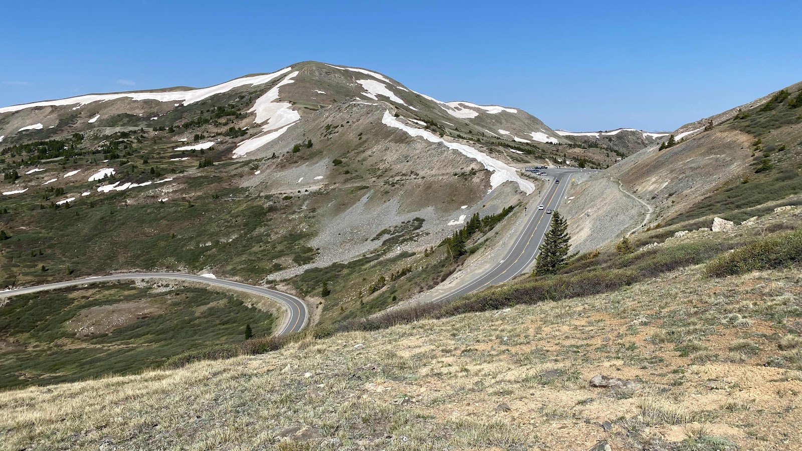
The trail crossed Cottonwood Pass, a major two lane highway. Here I caught up with Hammer and Kyle. They were hanging in the parking lot smoking a bowl. I continued on. Now the trail dropped about 1200 feet to the Cottonwood River, then followed downstream for three miles before ascending up the other side of the valley toward Lake Anne Pass. 


Lake Anne Pass is notorious. It’s north side collects a huge cornice during the winter and is slow to let it go in the spring. The first 100 feet are rumored to be very steep. I know of at least three people that turned around rather than descend it. Do you cross it early when the snow is firm or even icy, or wait until later in the day when it softens or later still when postholinf might occur. But, the story of our crossing must wait until tomorrow. 


Today we hiked 20 miles, to the basin below the pass. Monk did not catch on trail today. I passed Hammer and Kyle camping I. A great spot in the trees with plenty of room for me and Monk, but it was two miles short of the trail intersection that led to Lake Anne Pass so I continued on. I found a great flat spot and set up. No sooner was I in my tent than Monk showed. It started raining as he set up and it rained off and on for a while into the evening. 


I felt good today. Probably the strongest I’ve felt in the last few weeks. The new shoes are a big help, as is the new pack. Plus, I think I am acclimatizing to the high altitude. Tomorrow we will see what all the hullabaloo is about Lake Anne Pass. 


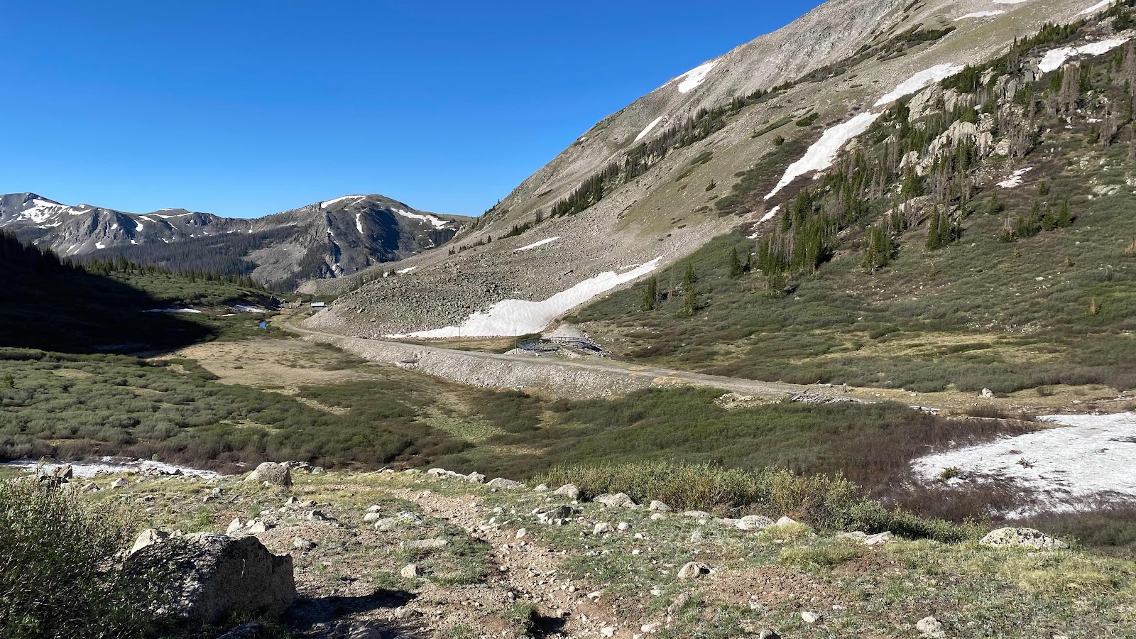
Cottonwood Pass from the trail looking south


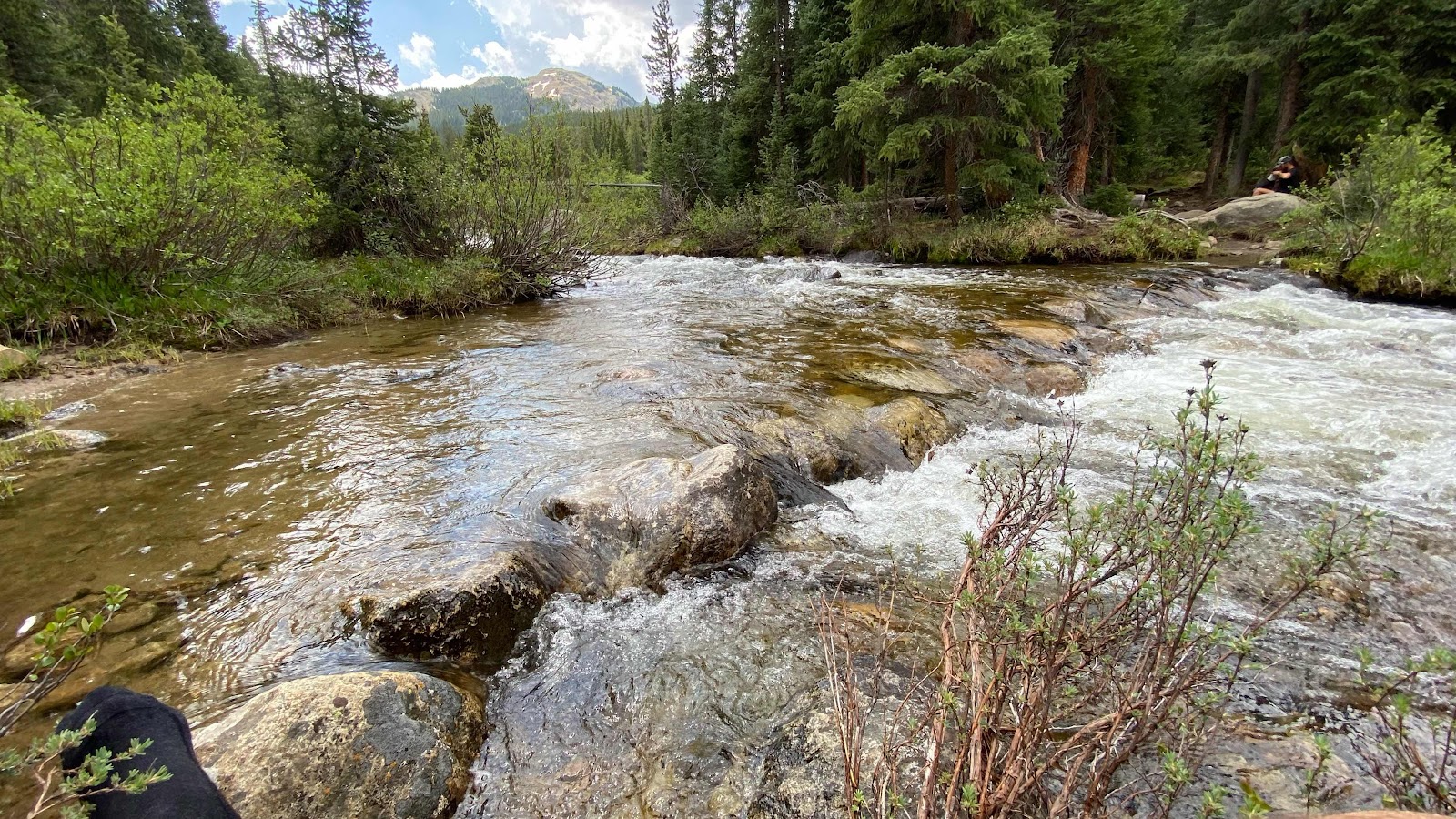
Had to ford the river. About knee deep. Wet shoes. 

Day 53 - Thursday, June 16, 2022 - 18.7 miles - 55,190 steps - MP 1077.8 (In the Chalk Creek Drainage) to MP 1096.4 (Alpine Bowl of South Cottonwood Creek) - Vert Up - 4034’ - Vert Dwn - 3958’ - Total Miles to Date - 835.6

Oh Boy!  When I get off trail I do it big and interesting. 


The trail today was really the old railroad bed for the Chalk River line. The grade was perfect and you could see the big cut in the hillside as it worked its way up the valley clinging to the hillside. It was impossible for the tracks to go up over Alpine Pass so the railroad company decided to tunnel through the mountain. Just before the point where the grade turned to go through the mountain the trail turned and climbed up 450’ to Alpine Pass. At the top, the trail turned right and began running the ridge. Me? I missed this fact and assumed (an ass of you and me?) the trail descended the other side. A trail does descend the other side, but not the CDT. From the pass I could see remains of tracks, some buildings, a turn table and other artifacts of the old train that used to run through these mountains. I descended all the way and read the interpretive signage, entered the old telegraph building and enjoyed seeing a piece of history. Satisfied, I looked at FarOut to see where the trail went from here. Shoot!! The trail was back up on the ridge 3/4 of a mile and 450 vertical feet away!  The train stuff was interesting, but this was a price I would not have paid had I realized while still at the top of the pass. Somewhat chagrined at my mistake I hiked back up to the top of the ridge, turned left and continued on the CDT, about an hour and a half later than I would have been. I did get some nice photos though. 

Now I had a concern. Monk likes to sleep in about an hour and a half to two hours longer than I do. He usually starts hiking about 8:00. Our plan was he would catch up with me because he hikes so much faster. Did my detour allow him to get in front? Was he hustling to try to catch me when in fact I was behind?  As I walked the sometime muddy, sometime snowy trail I looked for fresh signs of his tracks. I couldn’t really tell if what I saw were yesterday’s footprints of fresh ones from today. 


The trail stayed in the high alpine meadows for a few miles then dropped 1000’ into the North Fork of Chalk Creek. At the bottom I stopped at the bridge across the creek to eat lunch and soak my feet in the cold river. Monk showed up about 15 minutes after I had sat down. He had been behind me. 


Being a slower hiker than Monk, I left before he had finished. The trail now climbed 1800’ out of the North Fork of the Chalk. I suspected he would catch me quite soon. 


I have experienced all sorts of trails on the CDT so far. Some are just ruts that go straight up the fall line, full mm of rocks and boulders. Some are sites in within the last thirty years and do not have a consistent grade, wandering up and down hill. This trail was perfect. A steady uphill grade, never unnecessarily going down hill. The tread was smooth and consistent, no rocks, no roots. At the switchbacks the grade steepened slightly to ward off temptation of downhill hikers to cut the switchback. It was the kind of trail you could set a steady pace on and maintain it mile after mile during the climb. It made the ascent quick and enjoyable. 


At the top the trail traverses spectacular open meadows again for a couple miles before coming to the next downturn, an overlook into South Cottonwood Creek. Here I sat and waited for Monk to catch-up. He arrived after about 15 minutes. 


We had leapfrogged 70 Ton Hammer and Kyle twice and they passed us as we enjoyed the view and sunshine. I made FaceTime calls to Andy and Ed, showing off the scenery and making sure all resupply issues were handled. 


After about half an hour it was time to go. We descended about 670’ into the bowl, then climbed up and over the lip on the other side. The dropped down through rock slides, snow and debris then began traversing a side hill. It was looking like a repeat of last night as far as finding a flat place to camp. But, just before the climbing really got started we found a small meadow about 30’x100’ level enough to provide good camping. As we dropped our packs 70 pound Hammer and Kyle walked up. Well, Hammer walked up.  Kyle limped into the meadow, not letting his left heel touch the ground. His plantars fasciitis was flaring up. I saw a snow patch a couple hundred yards up the trail and offered to fetch a gallon baggie sod it if he thought it would help. He said yes, so before I pitched my tent I hiked up and retrieved a gallon of snow. 


Once I had my tent up I needed water which was in a stream a couple hundred yards back on the trail. I asked if any one needed water. Of course Kyle did, he was icing and couldn’t walk. I filled two liters for me and one for Kyle. Chores done, I crawled in my tent and got comfy for the night. Snuggled under my down quilt, belly full of food I wrote for a bit listening to the wind rattle the tent fabric. 


In Salida I decided to try hiking without my air mattress. I now had the Zpad for ground insulation. I mailed my inflatable to the next resuppply, Twin Lakes. Now I was sleeping on the ground with only a Zpad for insulation and cushion. It is great for insulation. Not so padding. During the night I rotisserie rolled to transfer the discomfort of the hard ground from hip to butt to other hip. Only sleeping on my stomach was pain free. Two more nights to Twin Lakes. I can endure it. 


The trail is an old railroad grade. You can see it cutting across the hill side way up the valley. 


I’m now off trail, but the excitement of seeing an old railroad tunnel, turntable and telegraph staton kept me from checking FarOut to see if I was on or off route. 


The old railroad grade leading up to the now collapsed tunneling under Alpine Pass


The restored telegraph office complete with tracks. The door was unlocked and it was allowed to enter and walk through the building. Pretty cool. 


The trail and the distant meadows to traverse before

Dropping down into North Fork of Chase Creek


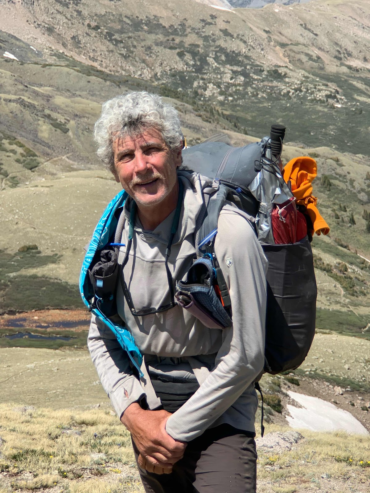
Monk took a photo of me at the end of our half hour of sitting, FaceTiming and enjoying the view before descending. 


Monk and I have been hiking together for just a couple days. He hikes faster but I get up and out earlier so it all works out. 


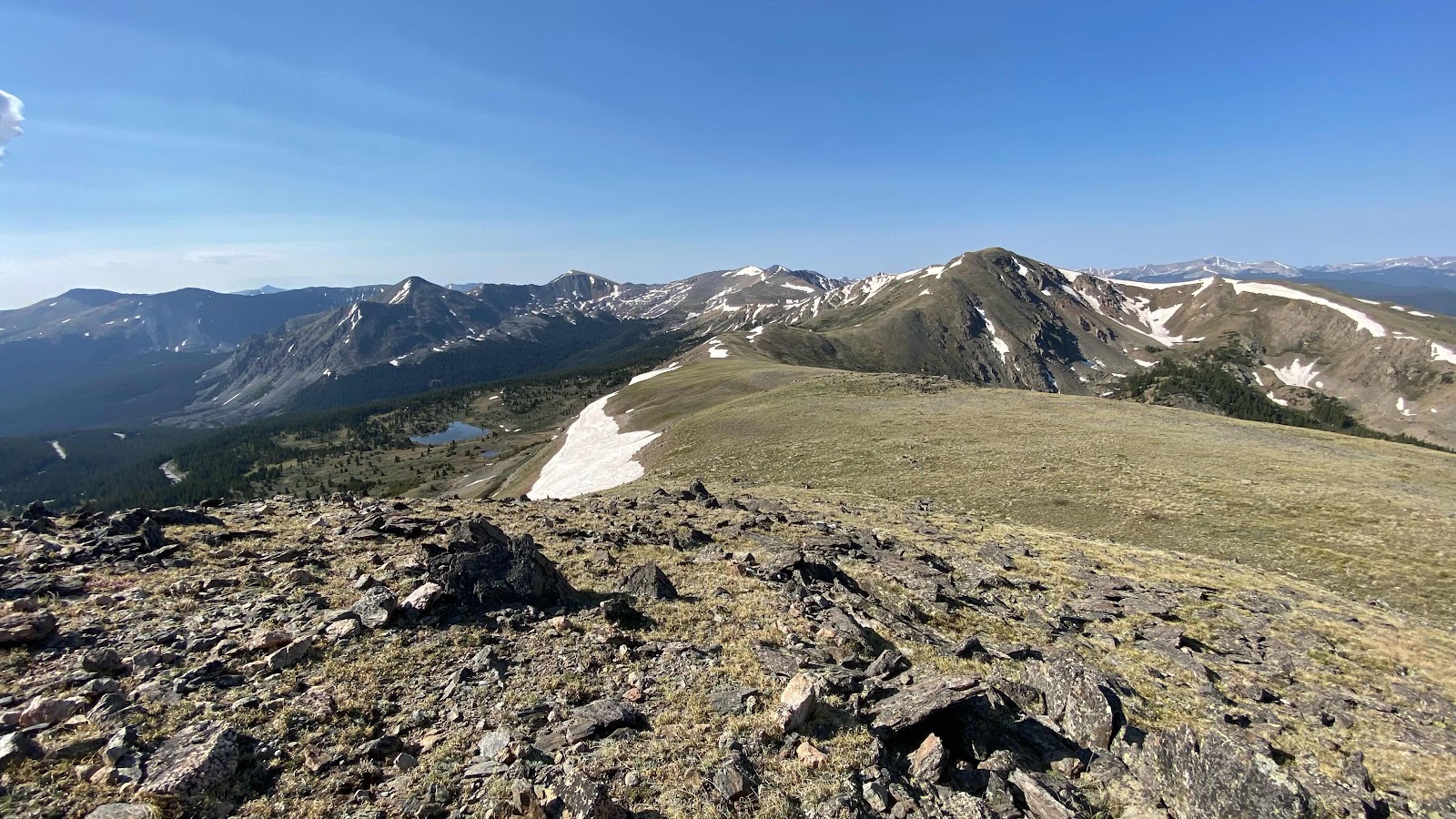
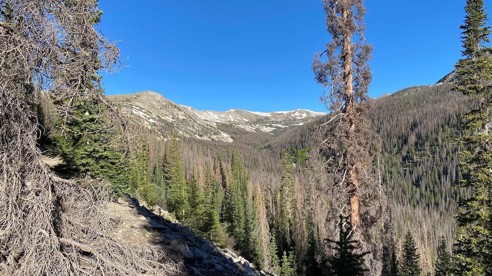
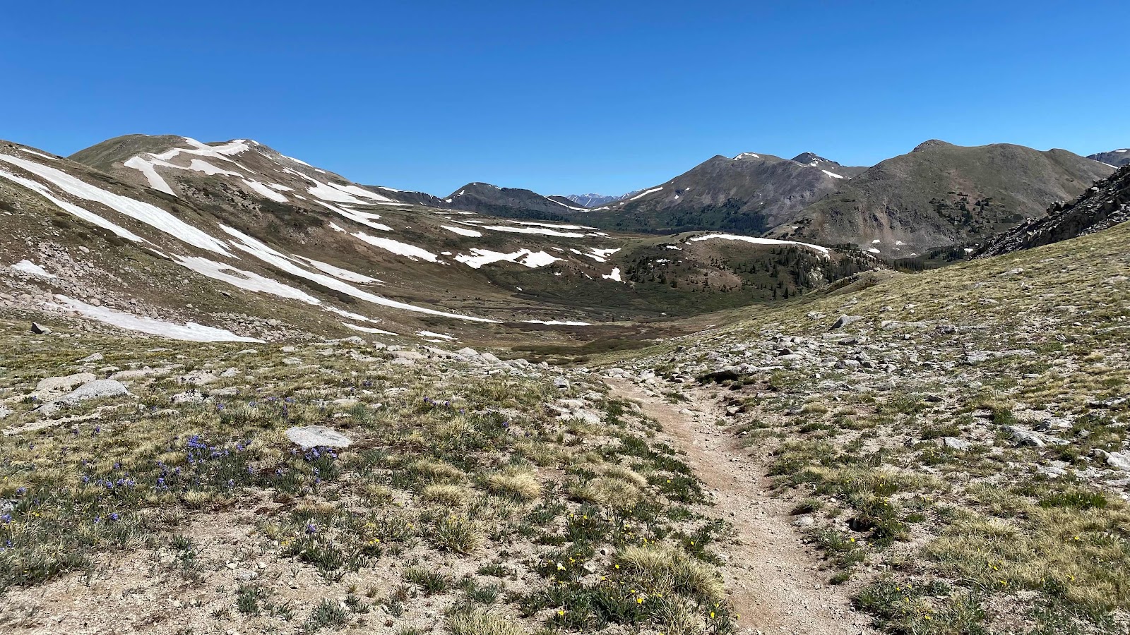
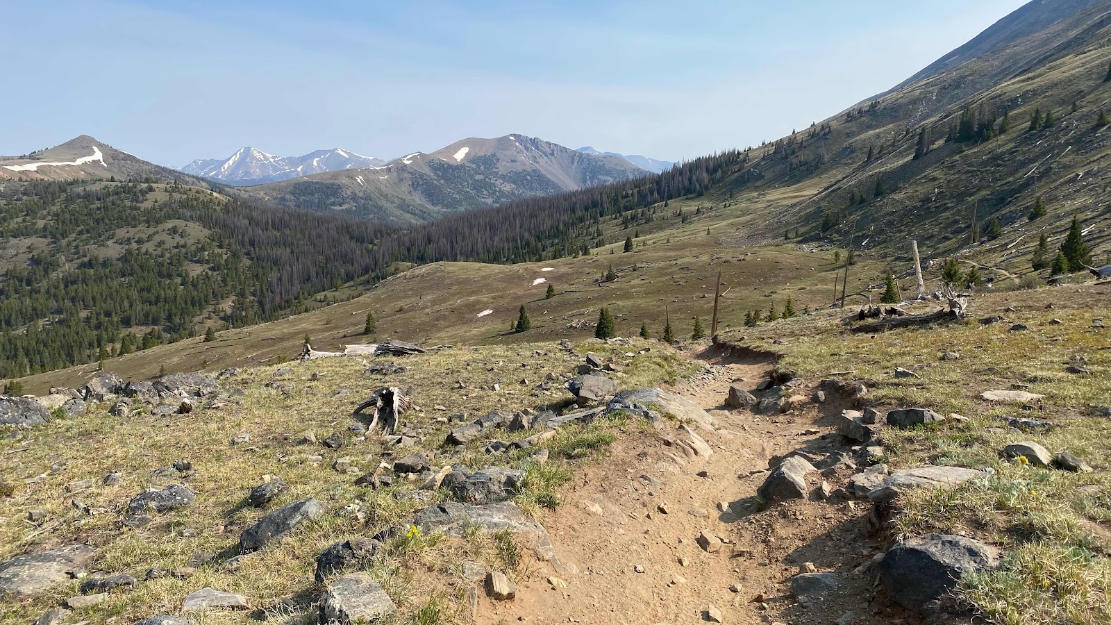
Beautiful Mountain views at every turn and twist in the trail. 


Saturday, June 18, 2022

Day 52 - Wednesday, June 15, 2022 - 17.1 miles - 48,792 steps - MP 1060.5 (Monarch Pass) to MP 1077.8 (In the Chalk Creek Drainage) - Vert Up - 4144’ - Vert Dwn - 3525’ - Total Miles to Date - 816.9

Our trail angel was coming at 9:00am to drive us the 23 miles up to Monarch Pass. Most everyone in the hostel was up by 7:30am. I repeated my meal again and had a breakfast burrito. Everyone not going to the pass had made plans to raft the river today. Someone had ridden to Walmart this morning and purchased vinyl rafts. I was double checking my pack to make sure I had everything. I checked with Just Mary as to whether she was still riding to the pass with us this morning. She was uncertain. She really wanted to go river rafting, but wasn’t sure if she should. Onion was out late last night and told me she as no longer going, too hungover. 


Party arrived to pick us up. I introduced myself and went into tell Monk and Just Mary our ride had arrived. Just Mary was packed, but torn. Monk finally told her, “You can hiking today and you’ll never remember it, or you can river rafting and do something you’ll never forget.” Mary put down her pack. It was just Monk and I riding up to the pass. 


Our driver Debbie was in her late 50’s or early 60’s and very pleasant. We had a nice conversation on our way to the pass. When we arrived I gave her $20 to help with the gas, $10 from me and $10 from Monk. There was a hiker on the highway thumbing a ride down so Debbie left us to go grab her. Monk headed for the store to get a fuel canister. As I headed for the trail I saw another thru hiker heading the same way on the other side of the highway. It was G-String!  Last I had seen him was Lake City. We greeted each other and headed up the trail. Five minutes up and something felt wrong. I checked FarOut and saw that we were on the wrong trail. A quick one minute walk cross country would set us right. G-String checked FarOut and saw the trail we were on met the correct one in just a little distance. He decided to follow it around, I scooted over to the correct  trail. 


The trail wound around the mountain and entered the Monarch Mountain ski area. It stayed right on top of the ridge, which is the Continental Divide. The wind was howling. It was a consistent 35 mph making walking difficult. The trail stayed just on the windward side of the ridge top. There was no escaping it. For seven miles Monk and I literally held onto our hats as we staggered up the trail. Mercifully, at mile seven the trail dropped off the ridge and we got out of the winds fury. 


The trail dropped down below tree line. I was surprised to see how much snow there was on the trail at this lower elevation. The trees provide shade to keep the snow from melting. We passed the Boss Lake Reservoir and started climbing up the Middle Fork of the Arkansas River. 


Four days ago we came into a clearing or meadow where we could see distant mountains. One in particular had an unusual snow pattern on it ( Mt. Aetna). At the time I wondered if we would get near it. This afternoon we passed directly below that mountain with the unusual snow pattern. 


Monk and I kept working our way up the valley until we crossed the pass at its head and dropped into Hancock Lake. The wind was still fierce so we moved past the lake as it had no protection. The lake was so high it only had short grass around it, nothing to block the wind. The trail was now on a traverse of a steep slope and offered no level ground for camping. Up ahead the topographic map showed an area where the contour lines indicated a possibility of a flat area. We left the trail and searched in the woods finding two small flat pieces of ground where we could pitch our tents. We were in the forest, so protected from the wind. However, we were faced with the perennial problem. All the trees were dead. No place else to camp. We crossed our fingers and spent the night. 


Day 51 - Tuesday, June 14, 2022 - 0.0 miles - 9,822 steps - Zero Day in Salida- Vert Up - 0’ - Vert Dwn - 0’ - Total Miles to Date - 799.8

Another zero that’s not a zero. Slept in to 8:30am, although not really. Lay in bed until 8:30am, awake at 6:30am and stayed in bed reading emails and writing in my blog. 


Got up and made scrambled eggs with spinach (someone had left a whole bag of fresh spinach in the community fridge) onion and cheese, then filled two taco shells with the scramble for breakfast burritos. So good. 


I never did take a shower yesterday so I headed to the funky outdoor shower and cleaned up. I looked at my nude body in the mirror. Maybe I have lost a little weight. Maybe?


I organized my gear and my day. Took everything out of my pack so I could use it as a bike bag, then loaded my Asolo boots, the two pairs of socks I use with them, the gaiters, and a pair of fleece glove into the postage box my new shoes had come in and put that in my pack. I also deflated my inflatable matt I sleep on and put it in my pack. I’m mailing it to my next trail town, Twin Lakes, Colorado. I will do this next leg with only my zpad and see how I like it. If it works out okay, I will forward my inflatable home to Andy. If not, I’ll mail the Zpad home to Andy and keep the inflatable. 


The ride to town is slightly downhill and has a following wind. It is about 3ish miles. Stopped at Safeway first since it was on the way and bought cheese, hard salami, Snickers bars and some tuna packs for the trail and a case of LeCroix for the hostel. Next, off to the post office. This took me through the center of downtown. This is a really cute and vibrant town!


At the post office I boxed and mailed my two packages, then popped open a LeCroix to drink and headed back to town. They block off two street sections for the summer for pedestrian use. As I turned down one of these I heard someone call my name. It was Monk, sitting at an outside table having a beer. I joined him, had a Diet Coke and sat with him for about 45 minutes while he ate his hamburger.  


I rode around town a little more, watching them set up in the park for their version of “Cheese Days”. There’s is a little more grand. They have an international river kayaking competition, a massive bike race and much more. 


Now I started back to the hostel. The wind is blowing a steady 20 mph. It is slightly uphill. It took a while, but I made it back. New guests from the trail were coming in. Our population of five swelled to 14 with new arrivals. One I knew, Nurse. Also, there was Deadbolt, a 20sometjing girl that somehow got locked in the woman’s bathroom in Costco in Grants, NM. They had to remove the door to get her out, hence Deadbolt. The rest moved around so fast, mostly 20 something guys that I couldn’t remember names nor what faces they belonged to. 


I took another shower, just cause I could. Long and hot. I asked Cope about what techniques would up our chances of a hitch. He offered to drive us up to the highway to better our chances. I asked who was going up tomorrow and got positive responses from Just Mary, Onion, Monk and myself. I reported my number to Cope and said great, but then suggested we try the trail angels listed on the fridge. Good idea.  I texted Debbie Downey and she said great for 9:00 am in the morning. Very one was agreed. 


Monk came back on bike from his shopping trip having had a new screen put In his iPhone, had lunch and shopped at Walmart for his resupply. He brought a pizza for us to share. We topped it with spinach and onions good stuff. 


Most of the group went to town for the nightlife leaving only Monk, Special K and I. We discussed books and politics. A nice evening. 


Andy and Sally called. Sally and my phones share the same account. Sometimes this can be annoying. She has been seeing every text I send, sometimes we cannot text each other, if she gets a FaceTime call I get it to and so on. Andy was calling to say he was separating our accounts and giving Sally her own. 


The party people returned from town about ten. I was worried that the party might continue at the hostel affording little sleep, but everyone laid their mattresses and sleeping bags out on the garage floor and went to bed. It was a quiet night. No one even snored. 


And so, another non-zero-zero came to a close. Restful? More so than hiking but not exactly void of physical activity. Still, I’ll see how I feel on the trail tomorrow. 


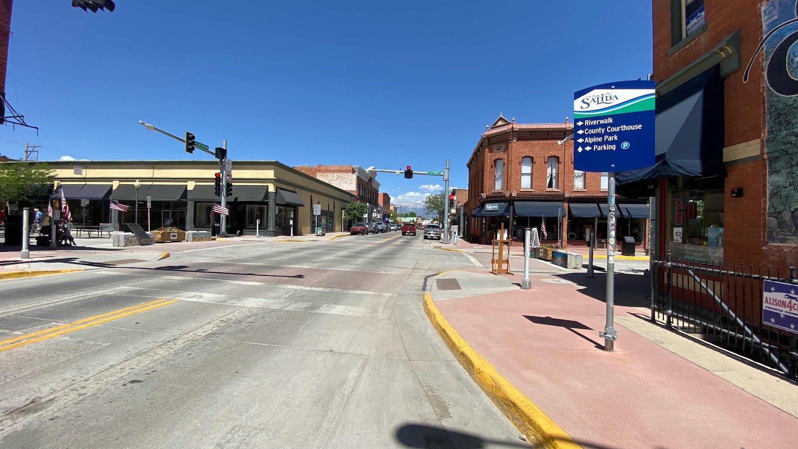
Downtown Salida


More downtown Salida 


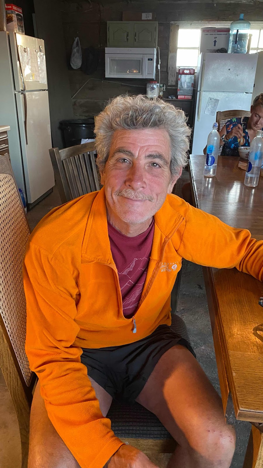
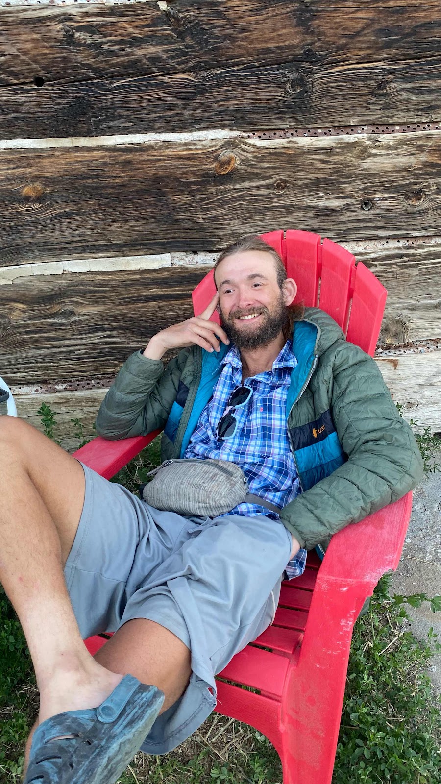
58 yr old Monk from Georgia


Special K


Bright Eyes


28 yr old Nurse


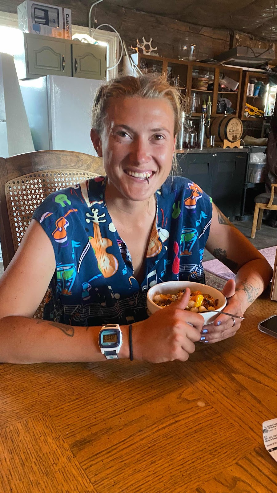
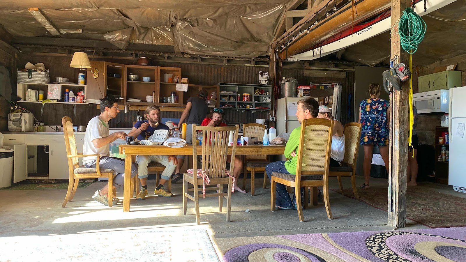
The new arrivals eating at the table


Tuesday, June 14, 2022

Day 50 - Monday, June 13, 2022 - 14.7 miles - 38,956 steps - MP 1045.8 (saddle east of Headwaters Hill) to MP 1060.5 (Monarch Pass)- Vert Up - 2051’ - Vert Dwn - 2133’ - Total Miles to Date - 799.8

Town Day! Zero Day tomorrow! Just got to crank out 14.7 miles this morning to get to Monarch Pass, then hitch to Salida 23 miles away. 


Normal morning routine. Make oatmeal. While it cooks or whatever it does while changing from dry flakey stuff to wet gooey stuff I deflate my pillow and pack most of my stuff. I wait until I'm done eating before stuffing my quilt. It keeps my legs warm while packing and eating. 


Problem this morning. Because of the light rain and thunder yesterday, I stowed my solar panel a little after noon. When I got to my camping spot I set it out to try to capture a few more photons, but clouds obscured the sun. Not much gain. When I started charging my phone and watch I noticed I only had three of four lights of charge available. My watch charged completely, my phone only made it to 89% before the battery was exhausted. Nothing left for my PLB, which was at 5%. I had phone service in my tent on the ridge (amazing!). I texted Andy that I might stop dropping bread crumbs if the battery died. 


Once breakfasted and packed I hooked my solar panel to the PLB even though it was 6:00am and the sun had just risen. I turned on the PLB and hoped it wouldn’t die before the sun had a chance to dislodge some electrons on my panel to keep it alive. 


The trail starts out as trail, turns to road, then back to trail in the first four miles. I was in a forest. Between the low angle of the sun and the shade of the trees I was afraid the PLB would die. To compensate, I would stand in sunny patches for a few minutes occupying myself by reading emails and such while energizing the panel. After half an hour it’s charge had climbed to 10%. I was going to skate by with this. The sun was getting higher. The charging would happen faster. All was good. 


The location of the trail was magnificent. Most of the way it ran on a ridge top through open meadows with huge vistas. Very pretty. A strong constant wind was blowing, gusting occasionally and knocking me around on the trail. I did not see any of my fellow CDT hikers but met head on with about a dozen mountain bikers. 


Approaching Monarch Pass the trail goes from single track dirt to double track dirt road and finally descends sharply to the huge parking lot as an asphalt ramp. As I started down the ramp I began to stuff my ear buds into my pocket, not paying attention to where I put my feet. Why should I, it is smooth blacktop, how could I misstep?  I did. Rolled my right ankle. This happens many times a day. I sprained it badly when I was 20 and it rolls easily. Usually, I quickly compensate by dropping my whole body down to take the weight off the rolling ankle and then regain my balance. Not this time. I went down hard. On the asphalt. In front of everybody in the parking lot. My water bottle shooting out and rolling down the hill in front of me. I usually fall at least once a day, tripping over something or rolling my ankle. My cat like coordination instinct (  :-)  ) has trained me to roll to one side as I fall, sacrificing my pack to the impact instead of my body. This kicked in as I hurtled toward the ground and I landed on my side with my pack taking most of my weight. Pig Pen was standing near to the store/snack shop and saw me go down. He came running over to retrieve my water bottle as it careened over the embankment and to make sure I was okay. Bruised ego and a scuffed up pocket on my pack the only damage. 


I walked with Pig Pen back to the store, then inside to get a soda. Outside I talked with some bikers about the CDT, then realized I had better get out on the road and start thumbing a ride from this notoriously difficult place to get a ride from. I said by to Pig Pen (he had his resupply sent to the pass) as he was hiking on. 


It only took less than 10 minutes to get a ride, fourth car to pass. A big Dodge Ram truck stopped. I put my pack in the back and climbed in to meet Ryan, a concrete construction worker. We spent the next half hour talking about his girl friend’s death in a car accident, how her grandparents grabbed his 3 year old daughter and have had her for the past 70 days while he battles them in court for custody. I really felt sorry for his situation. What a mess. 


He drove me to the Simple Lodge and Hostel in Salida, where my resupply was mailed. They were full. I called the Hayduke Hostel. They said they had room and would come get me in about 5 minutes. Wow! I grabbed my resupply boxes, got in the grey pickup when Cope arrived and rode out to the Hayduke Hostel about 2 miles out of town. 


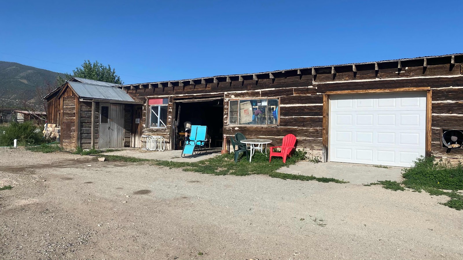
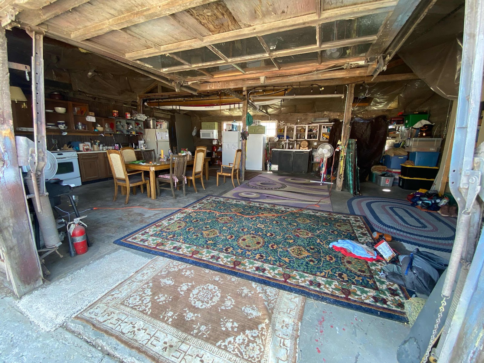
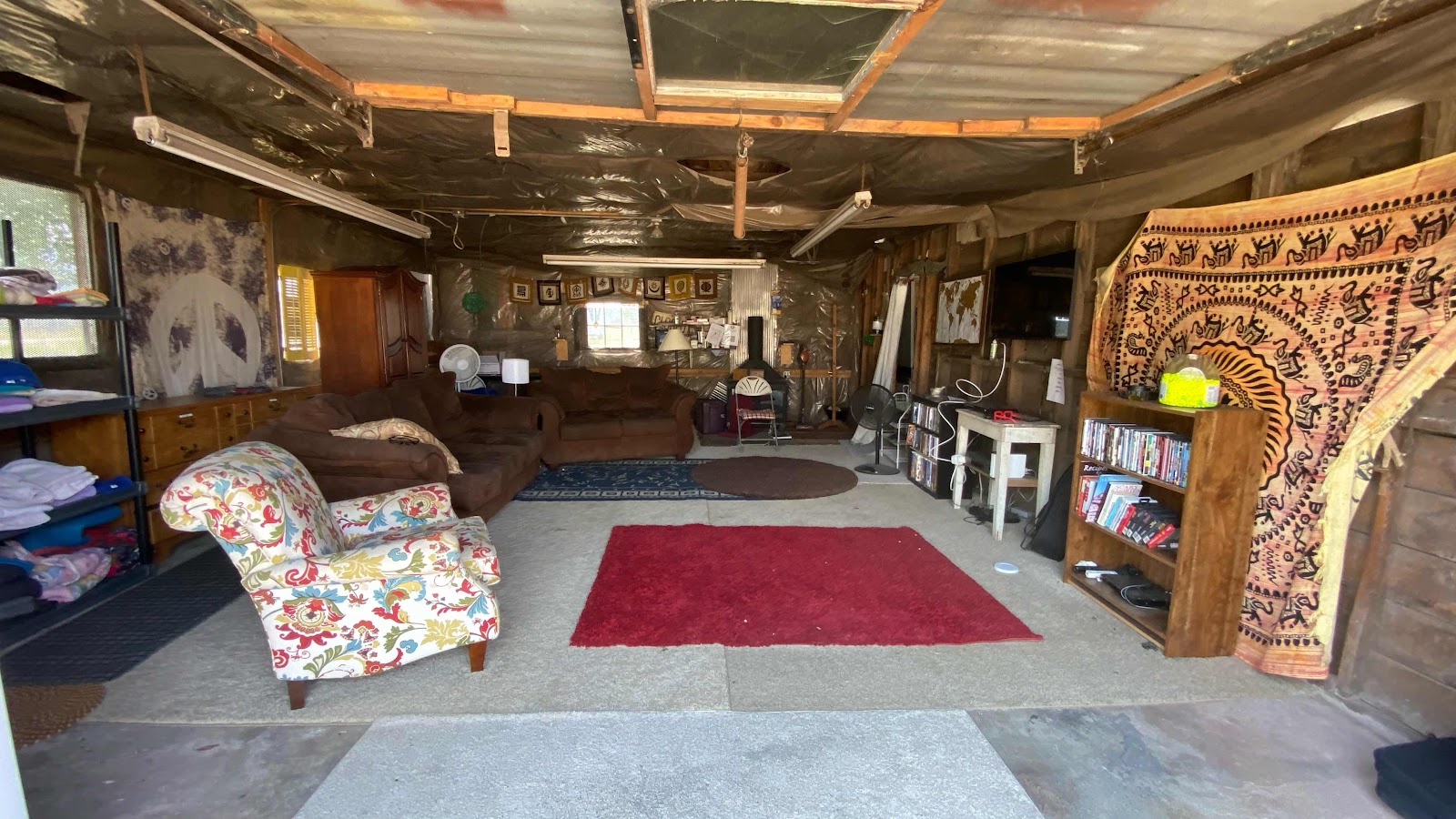
It is a 1964 three car auto repair garage  converted to a hiker hostel. One bay is a living room with a laundry area, loaner clothes and TV. The second bay has a kitchen, dining table, fridge and freezer. There is an outdoor shower in an old out building. Throw rugs cover the concrete floors. Everyone sleeps on the floors on those rugs. 


Monk, Special K, Just Mary and Bright Eyes were there already. We spent the afternoon resting, cooking a frittata for dinner,  baking brownies and talking. A nice mellow group. 


My feet are sore. Without shoes I hobble around. With shoes, especially my new ones, I can walk nearly pain free. Without them, hobble city. I am hoping they improve with my replacement shoes. Or they go completely numb soon and quit hurting. :-)


Another amazing day. 


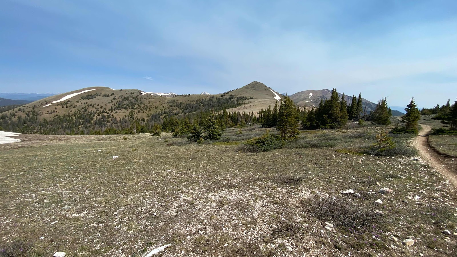
Open meadows above tree line. The trail traversed these ridges most of the day. 


Beautiful hiking. 


You can see the Monarch Pass highway in the distance. 


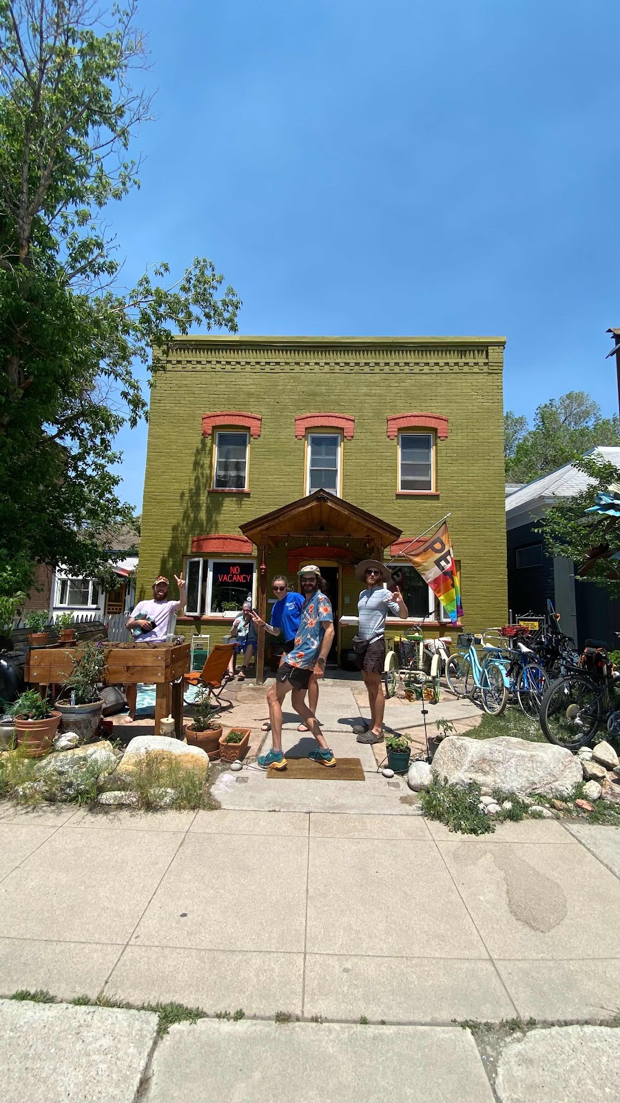
The Simple Lodge and Hostel in downtown Salida with some of its CDT patrons. 


The old garage that is the Hayduke Hostel


The kitchen, dining bay of the hostel 


The living room bay of the hostel. 


The out building that houses the outdoor shower


The outdoor shower 


Day 49 - Sunday, June 12, 2022 - 21.1 miles - 55,114 steps - MP 1024.6 (Razor Creek) to MP 1045.8 (saddle east of Headwaters Hill) - Vert Up - 4217’ - Vert Dwn - 3639’ - Total Miles to Date - 785.1

It is amazing how having someone to talk with when hiking makes the miles go quicker and with less pain. I knew I wanted to attempt another 20+ miles today. If I could accomplish this it would make tomorrow a short day into Monarch Pass, allowing me more time to hitch a ride to the town of Salida where my food resupply is waiting for me at the Simple Lodge & Hostel. Even more important, my Salomon shoes are there, getting me out of these clunky boots that weigh too much and are too stiff for simple trail hiking. But, 20 miles is at least a ten hour endeavor. That’s a long time to walk by yourself. 


Over the past few days I have cultivated a little trail family consisting of Puddles, Sunny D, Apples, Man Hands, Pig Pen and Monk. Today, Apples and Puddles made the miles slip by. 21 miles was still tough, but so much easier when a big chunk of the day was spent chatting with amazing people. 


I woke up a little later than usual, 5:30. Last night I was so tired I wasn’t sure if I could drag myself out of my nice warm down quilt until 8:00. But, I knew I had 20 to do today and I knew it would be tough after such a long day yesterday. Pop Tarts for breakfast instead of cooking oatmeal made everything go quicker and I was on the trail by 6:10am. I heard Puddles and Sunny D discussing today’s distance and hike so I knew they were awake, but no one was up when I slipped out of the area, passing Apples’ and Man Hand’s tent a few hundred yards up the trail. 

I plodded along, trying to conserve energy. I knew I would be tired from yesterday’s big miles so I walked accordingly. At about five miles I found Monk packing up. He had moved ahead last night. At about 6.5 miles Apples caught up with me. I was listening to a book and she too, had head phones on. We got to talking. My pace picked up. We compared lives and trips and future plans and families and before I knew it we had 12 miles under our feet.


We stopped for lunch at a water source, a culvert under a logging road. Puddles caught up with us as we were finishing up. Puddles and I took off at a good clip and got another 4 or 5 miles in while talking about her future plans, her parents, ski patrol, and life in general. 


We had to step off the trail to let two motorbikes pass. A few minutes later we found them parked at a nice overlook enjoying the view. We chatted with them for about ten minutes, comparing walking to motorbike riding on trail. They were doing a 70 mile loop that day. 


Back on the trail, it got really steep and rocky. Puddles left me in the dust, and I found myself marveling that they could even ride their bikes up some of the sections of the trail that I had to use my hands on to climb over, it was so steep. 


After about 18 miles, I am in grunt-through-it-mode. Man Hands passed me about half a mile before the water source. At the water source, a small crick tumbling down the steep hillside we were all assembled, except Puddles, she had moved on toward the saddle 0.3 miles ahead where we all hoped we would find a flat space to camp. I took three liters of water for the night. 


Man Hands and Apples camped on a flat spot on the side of the saddle, hoping to take advantage of the wind to keep the mosquitoes at bay. I camp a couple hundred feet closer to the bottom of the saddle finding a nice flat spot with a good breeze. Puddles, Sunny D and Pig Pen all moved farther ahead spurred on by a comment in FarOut that described an idyllic campsite with a fire ring and a great easterly view. 


I made my goal of being horizontal more minutes than vertical by 10. 11 hours and 50 minutes of hiking. But with a nice lunch break in the middle, stretched on the meadow eating and talking I think I got some good down time. 


Really looking forward to Salida town tomorrow and getting a lighter, more appropriate shoe for trail walking. Also, a solid zero day to recover some energy. 


I had Mountain House beef stroganoff for dinner, but I dumped in a bag of my dried broccoli and a bag of dried spinach to add some vegetables to the meal. Delicious. Also had a cup of chocolate pudding. 


because it had thundered during lunch and then rained lightly for 15 minutes while walking after lunch I had stowed my solar panel, meaning my 10,000mamp battery didn’t get charged all the way. It had enough juice to charge my watch and phone, but not my PLB, which was down to 5%. Have to figure something out for that in the morning. 


What a great day!


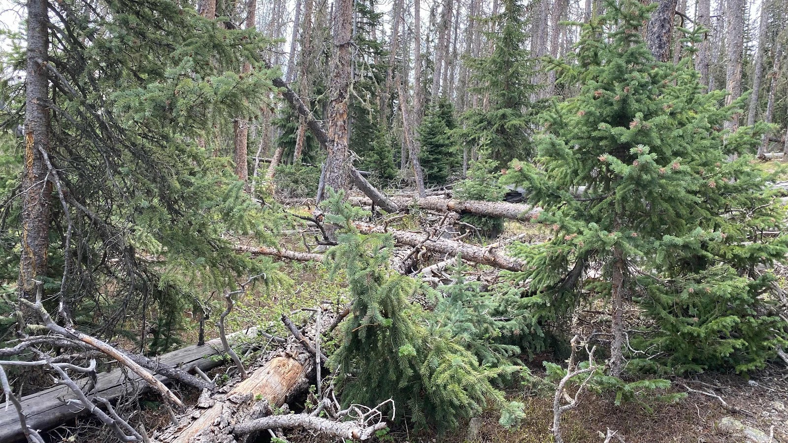
This is a typical jumble of downed trees that is everywhere along the trail and throughout the forest. 


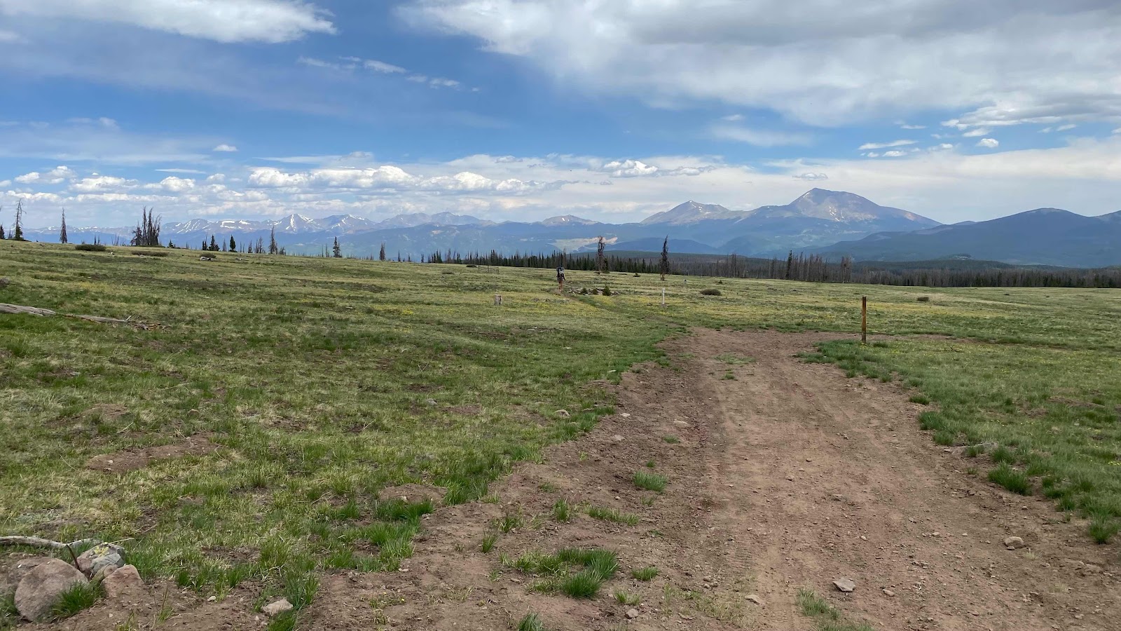
The trail occasionally bursts out into these open meadows with long views ahead. Monarch pass is at the base of the tall mountain in the foreground. 


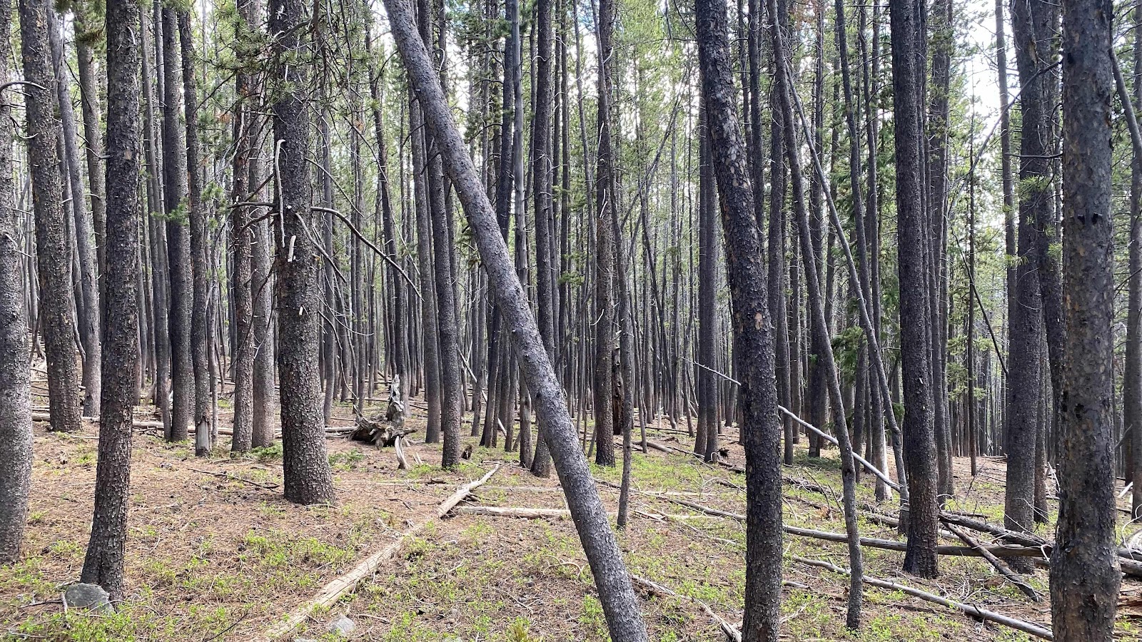
Sometimes the trail passes thru Aspen forests. Here it passes thru a stand of small conifers. 


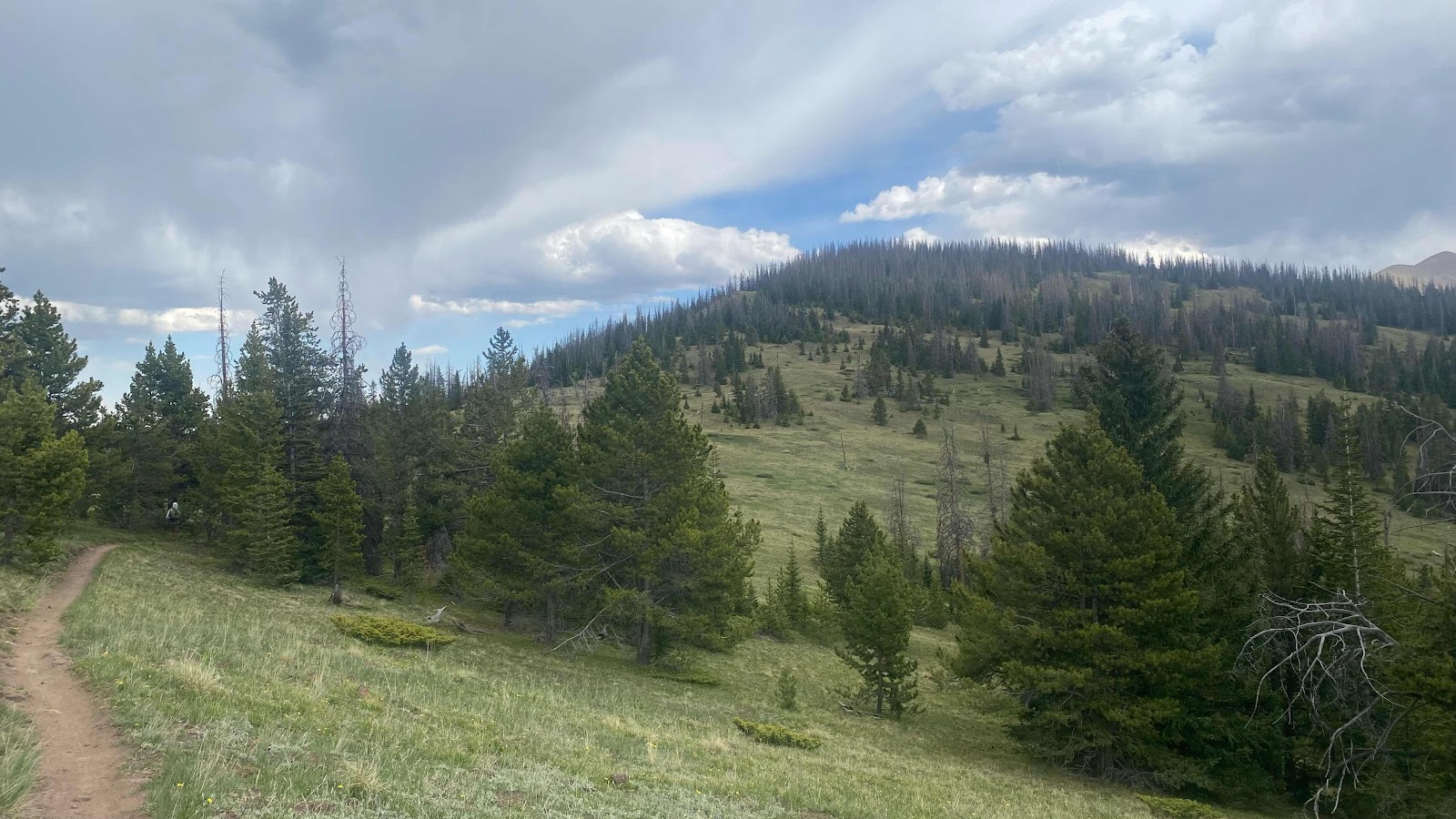
The trail ran the ridge tops at times. Man Hands is on trail just entering the trees at the left of the photo. 


This is the ridge top meadow I camped in. Notice the dark clouds. It thundered during the day and sprinkled lightly, enough to merit wearing a rain coat for an hour. 


Monday, June 13, 2022

Day 48 - Saturday, June 11, 2022 - 24.2 miles - 59,496 steps - MP 1000.3 (Hill above Ant Creek) to MP 1024.6 (Razor Creek)- Vert Up - 4302’ - Vert Dwn - 3222’ - Total Miles to Date - 764.0

Have you noticed the miles I have been covering these past three days?  19.5, 19.7 & today 24.2? All above 9500 feet. Some with lots of ups and downs, in excess of 4,000 feet. Every one of these days damn near killed me. 


Today I staggered to the water source and proposed camping spot totally exhausted. What made it possible for me to keep going? A tramily, that is a trail family. About mile 12 today I heard Monk calling my name as he came up behind me. We had just rounded the end of a ridge and now the trail crossed a sloping couple hundred acres of meadow. A water source, a small creek was close to the far side. The far side was bounded by highway 114. Not a lot of traffic, but about a car or truck a minute on average. 


Monk and I walked to the stream together and then sat in the thick grass, filtered some water and had a bite to eat. Soon Apples, a mid fourties’ woman with a beautiful smile walked up the meadow and joined us. I had met her in Lake City and taken an instant liking to her. Soon Puddles, the 24 year old woman pro patroller from Maine joined us followed by Pig Pen, a mid thirties software programmer from London walked up and sat down. We were only missing Sunny D, Puddles friend and pro patroller and Man Hands, Apple’s husband. The conversation ranged all over the place but the one thing we all had in common was enjoying each other’s company. Sunny D showed up about ten minutes later, but Man Hands never did. Apples guessed he stopped for lunch before he got here. 


The first twelve miles I had been walking by myself. It was all on dirt road. We were leaving one mountain range and traversing to another along some foothills. From the San Juan Range to the Collegiate Range. 


The way had undulated up and down with beautiful views of open range land to the north. The road made for quick walking and I could easily do 3 miles per hour while walking. After a while the trail climbed away from the open range and into the forest, a mix of dead pines, firs and aspens. Accept for the dead trees, it was beautiful. 


I had my sights set on a 24 mile day as there were few water sources. It was either 16 miles or 24. I chose 24. 


After about half an hour of chatting and eating     Monk and I excused ourselves and headed up the trail. We talked and covered about 4 miles, all uphill. It started out with us walking the highway for a quarter mile, then following a logging road for a mile or better until we reached a saddle where the trail became a trail


I am definitely the oldest of the group. Combined with shoes too heavy I am the slowest. Monk soon stretched his legs and left me behind. The others were somewhere behind. I did not know how much longer they stayed in the meadow talking and eating. 


The trail climbed to the ridge top and then stayed there.  The ridge top was a series of bumps 200 to 300 feet tall and the trail builders thought it best to run the trail right over the top of each, not contour around. Also, for the first three the trail ran straight up and down the fall line. The trail was steep, and because they allow motorcycles on the trail and run the trail straight up the fall line it is rutted and rocky. Tough walking. 


By the time I had bested the first hill I had done 19 miles, still 5 to go. Remember, this is all happening above 10,000’. I was fading fast. My feet hurt. My legs were less than strong and having a hard time negotiating the loose rocks on the steep uphills and downhills. Luckily the last and biggest hump was a gentle grade both up and down. Now just 2 miles to go. I stopped multiple times to rest. Finally, I walked up to the creek, our source of water, found a flat place to pitch my tent, soaked my feet in the creek and shut myself in my tent to get away from all the mosquitos. They were very thick. Pig Pen had passed me earlier and we both set up our tents less than 15 feet apart. We conversed from our tents while cooking dinner. 


Puddles and Sunny D arrived about half an hour after we did and hurriedly set up tents to escape the mosquitos. 


Dinner. Blogging. Setting up food for tomorrow and it was time to sleep. What a tiring but amazing day. It was nice to make connections with such amazing people. 


The rocky trail running straight up the fall line. Tough to go up. Worse coming down. 


Open range lands and distant mountains 


More open range land. Beautiful!


Check this out. More than ten miles by 10:00 am. Ten by ten. Haven’t been able to do that in weeks. Smooth road and no big climbs made it possible. 


The route from Lake City to Salida along the CDT. 100 miles of trail, moving from the San Juan Range to the Collegiate Range