To most of us road walking is abhorrent. If someone asked me, “Hey, want to go on a hike this weekend?” My first response would be, “Sure! Where we going?” “Oh, I thought we might hike 44 miles of highway from Chehalis to Morton with full packs. Should be fun!” I wouldn’t go, and I expect you wouldn’t either. Then why am I walking roads in New Mexico equivalent to that described above and enjoying it? That is the question this blog post will explore.
I came to this endeavor of hiking the CDT naive. I had heard there was road walking and I had seen on the map straight stretches of trail-too straight to really be trail-leading into towns. However, now that I am in the midst of it I am amazed at the extent of roads the trail traverses. The number of miles hiked in today’s heading for this entry is 411.1 miles. Taking all roads walked into account, whether gravel, dirt, severely eroded, two tracks across a grassy field or paved highway, I would guess 300 of it has been roads. That’s a lot of road walking. So, why continue or do it in the first place?
I think there is an interesting psychology going on here. I am not out for a weekend or a week as a diversion from my everyday life. I’m not looking for an escape, a chance to connect with nature before jumping back into my daily routine. In my mind, I see a line from Crazy Cook Monument on the Mexican Border running unbroken to the border monument in Canada and I am attempting to follow that line. Each chunk of highway is a piece of that line, a small subset of the overall goal. The road is a means to the end. Just one more obstacle to overcome in the general quest of completing the big goal. In that respect, it doesn’t seem so bad. Additionally, there are some advantages, the biggest is not having to be cognizant of where you put your feet.
On a trail one must be aware of every footfall. There are roots, rocks and other obstacles that must be negotiated. On a paved road one just slaps one foot down after the other without a care, the uniform pavement is unmarred and smooth. More time can be spent gazing at the scenery. I have written or edited my blog while plopping down a highway. Highways usually mean a better chance of having Internet and that means talking to friends as I glide along. Roads are much much straighter than trails so they move one farther across the landscape with fewer steps. If the traffic is light, or non-existent as is the case on many of the dirt roads then the road is really just a very wide trail.
Some might say these arguments I present are just rationalizations to justify walking roads. True. But, when faced with a route that is all road walks is it better to bitch and complain or to find the advantages and embrace the brutality?
The wind had died about the time the sun set last night, so the night was peaceful and quiet. My tent, the $600 wonder from Zpacks is really a nice tent. When pitched properly, even a vigorous wind can’t ruffle its fabric. I am finding it a cozy home.
It was cold this morning, just at the freezing point. This delayed my rising as I hid in my sleeping bag writing my blog, waiting for the sun to rise and warm me once I emerged from my cocoon. In the hours before the sun rise I noticed the four planets that had been strung out so symmetrically a few weeks ago now had two bunched very tightly together. Jupiter and Venus were nearly on top of each other. This is the advantage to tent living outdoors. The motion of the night sky’s actors becomes a slow dance played out for my eyes. The moon, once full two weeks ago is gone and will emerge as a waxing crescent in the coming days.
Once up, dressed, sleeping bag and tent stuffed away and pack loaded our path took us back to the gravel road that brought us here and then north and east again through a flat landscape of low grasses and sage brush. Within a mile we were turning onto Hwy 117, the one we turned off of yesterday to enter the low hills to the east, only now it had changed. It was paved, two lanes wide with fog lines and a yellow stripe down the middle. Our goal was the El Malpius Forest Service Station 17 miles away, the only water source of the day. Would it all be on chip seal pavement? In a word, yep.
The first four miles were across flat land with hills a mile or two distant to the left and right. But closer examination showed congealed lava on the left side. Contorted black rock frozen in place as it solidified. It had the same thin covering of plant life as the right side of the road’s smooth and sandy terrain.
Our first stop was a road side rest area four miles distant. Here the topography changed. The map indicated we were entering the “Narrows”. We soon found the road squeezed between exquisite sandstone cliffs on our right and jumbled lava flows on our left. For four miles the cliff and lava bounded road corridor was our path until the road swung right and dropped a hundred feet to bring us to the Ventana Natural Arch Trailhead parking lot. Here we found clean bathrooms, trash cans to rid ourselves of our garbage and picnic tables to sit at and eat an early lunch. The sandstone cliffs and formations were wonderful. Here we also met Motörhead. He had slept at the rest area four miles back and instead of following the road had traveled cross country over the top of the sandstone formation and dropped into the parking lot down the cliffs, finding a steep but doable route.
The next ten miles continued on the highway with the lava flow always at our left, the sandstone cliffs sometimes adjacent to the road, sometimes receding into the distance. It was a beautiful walk. A car wizzed by, on average, about every three minutes, enough to keep you honest about walking on the edge of the highway and not venturing out too close to the yellow line.
We made the forest service office about 3:30pm. They were open until 4:30pm on this Saturday so we stepped inside to see what was on display. I was hoping they sold some food. The displays showed the vulcanism, the lava flow’s extent and the history of the area. Interesting.
Our plan was to camp here tonight, but we didn’t want to ask permission or mention it to the employee for fear of being told we couldn’t. We just sat at the picnic table outside resting and drinking water from the faucet five feet away, waiting for him to lockup and head for home.
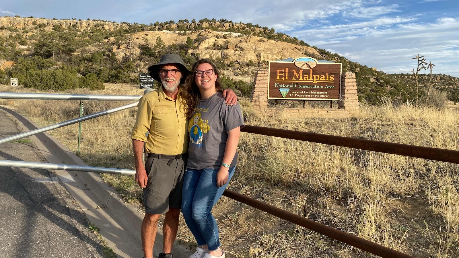
Meanwhile, Sally’s 2018 roommate, Patty Reed from Yosemite’s Big Oak Flat entrance has taken a permanent job at El Morro National Park. Its an hour away by car and she had offered, via Messenger, to bring us treats and drinks during her time off during her split shift. We pitched our tents hidden from view in the juniper bushes near the now locked gate to the station, ate dinner and anticipated her arrival. She drove in at 6:30pm and we had about 45 minutes to catch up with the changes in her job status and living situation before she had to return to work for her night shift of star gazing with visitors. It was so kind of her to drive so far out of her way to bring us some pops and Gatorade and visit. Trail magic of the first order!
A serendipitous moment occurred today. I am listening to the “Emerald Mile”, a book about the history of the Grand Canyon. In it the author describes Coronado’s attempt to find a mythical city of gold, silver and tourquoise called Cebollo in 1542 by traveling in the Arizona/New Mexico area. Wait! The CDT alternate I am walking right now is the Cebollo alternate. I am in Cebollo county and Patty’s park was a way station for many indigenous peoples because of its abundant water at the base of a cliff and Coronado passed thru on his search for Cebollo as evidenced by dated artifacts recently found in the park. How cool that my reading, the county and Patty’s visit all coalesced around Coronado’s exploration and that all three came to light for me on the same day. It made the road walk and the area come to life with history and significance. How fun!

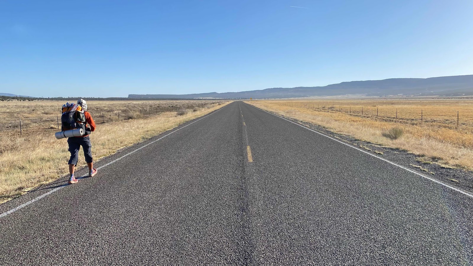

Did you notice the distant hills are closer now?

Lava on the left, sandstone cliffs on the right. The topography is getting more interesting.
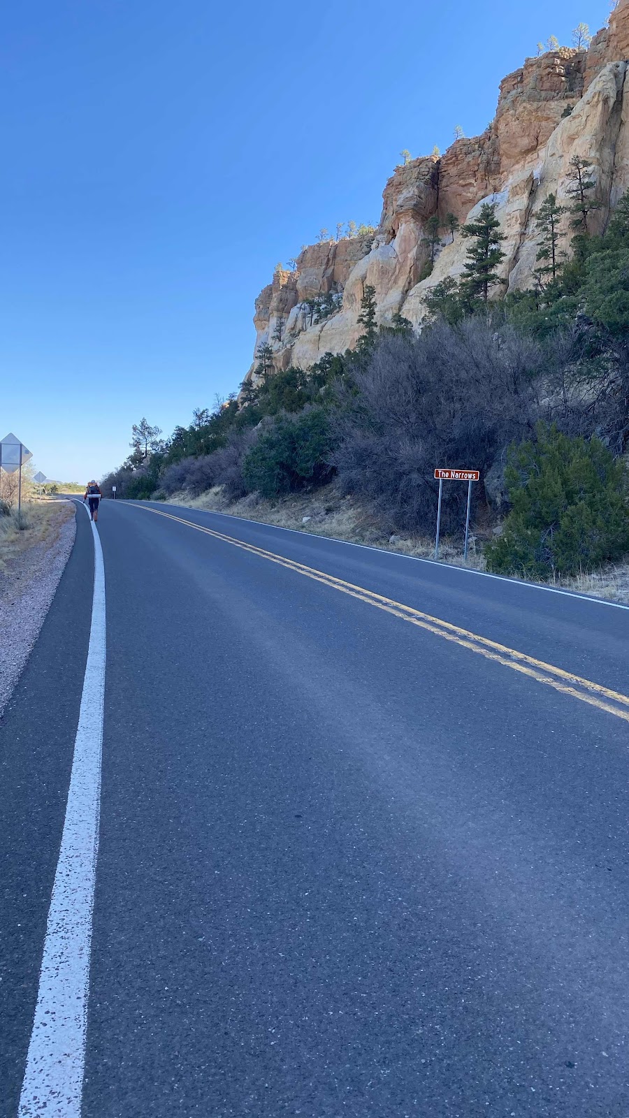
“The Narrows”
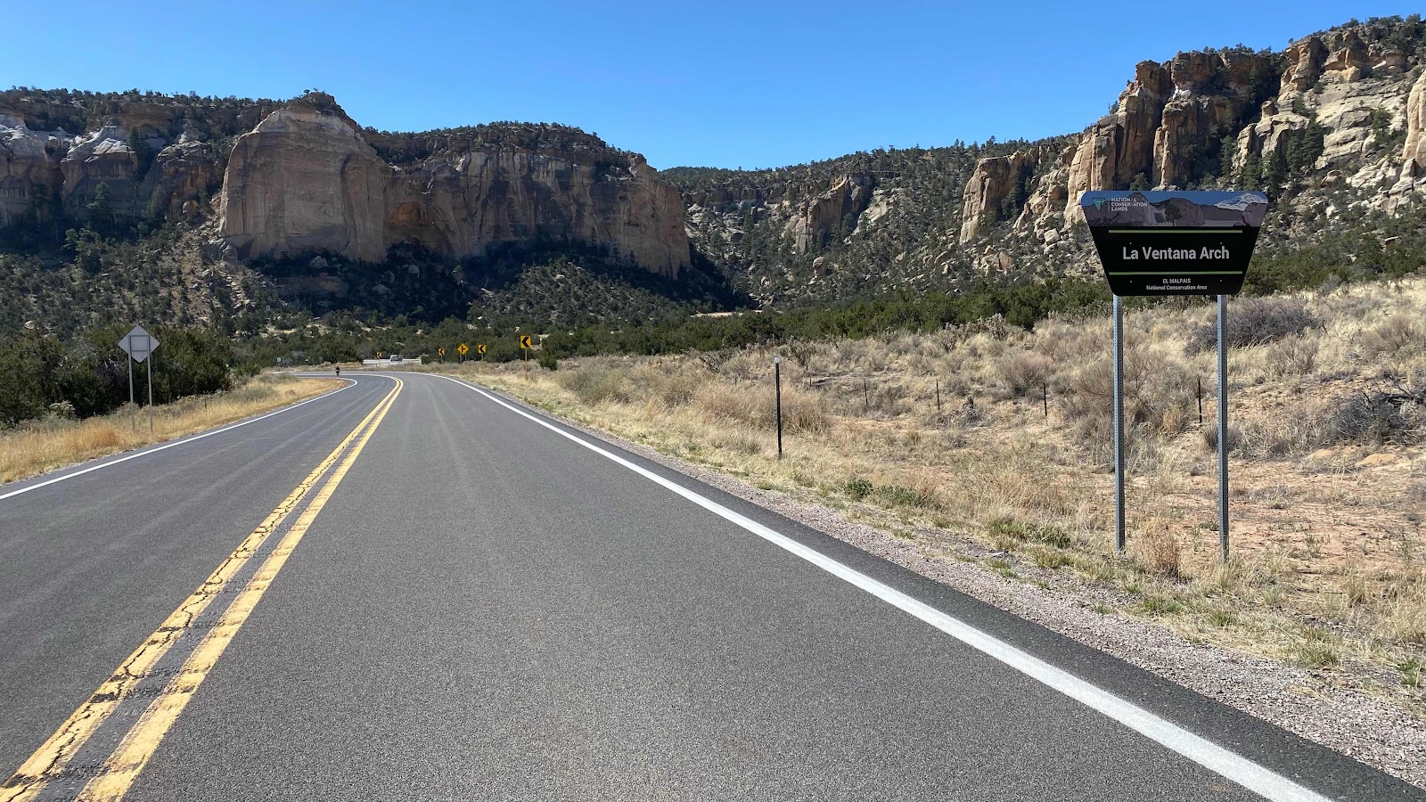
La Ventana Arch area. Magnificent cliffs, formations and arches.
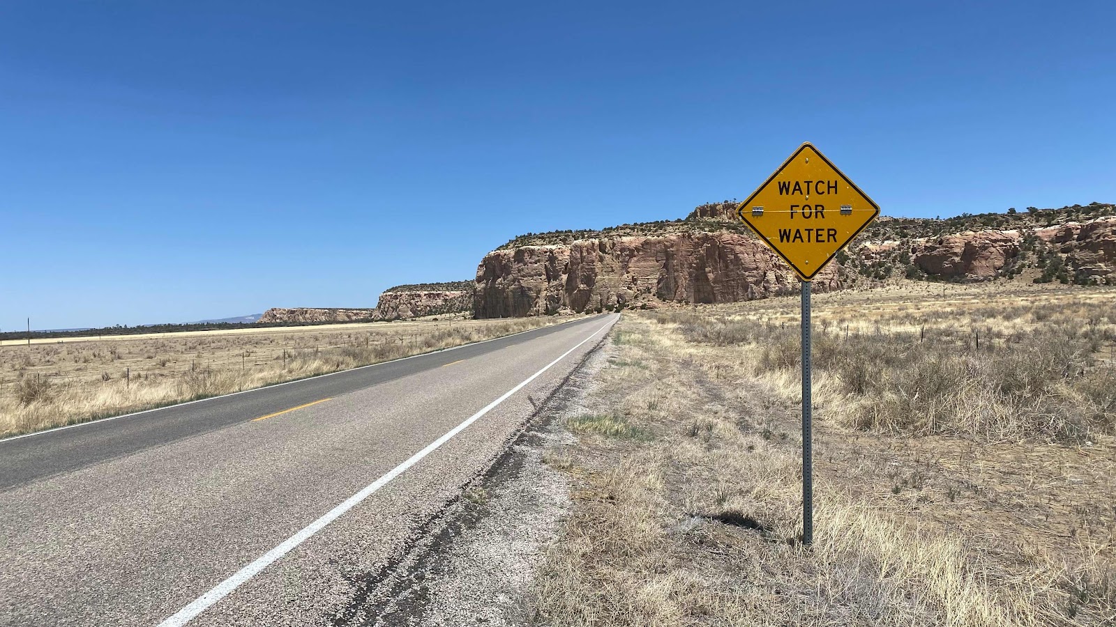
This sign is our watchword. Didn’t find any until the spigot at the forest service office.
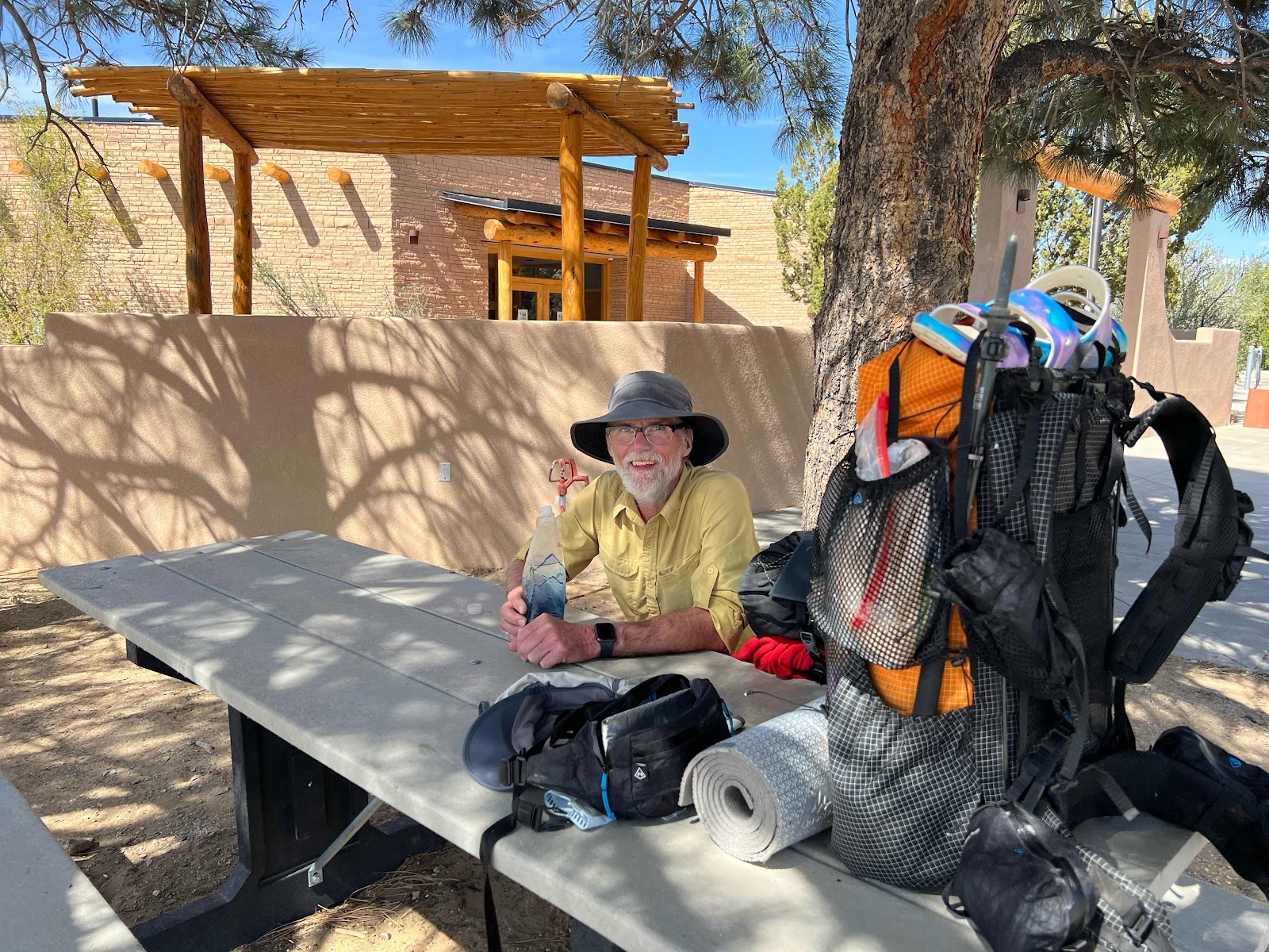
Enjoying the end of the day’s hiking at the El Malpais forest service interpretation center waiting for the ranger to leave so we can camp in the bushes just off the entrance road. Shady and water from a spigot. Life is good!

Sunset from the tent. Life is good!
No comments:
Post a Comment