Today was a full day on the Gila. 20 miles up the river. Sort of.
You can follow along on the map.
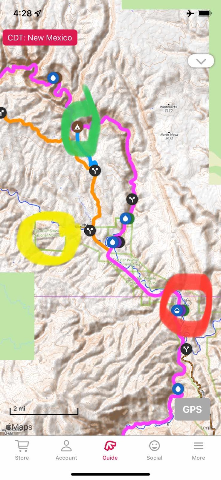
We left the Gila River Hot Springs campground (red circle) at 6:00am, traveling by headlamp for the first 15 minutes. We had highway walking to do for at least three miles. At three miles there is a fork in the road. I wanted to see the Gila cliff dwellings, a National Monument park (up the orange line). Dallas was not interested. I turned left to walk the two miles to the cliff dwelling park. She went straight to pick up the trail on the Gila, following the pink line the whole way. I was headed to the yellow circle, the cliff dwellings. She was following the pink line. We would try to rendezvous at the green circle. My route went up the highway. At one mile up the road was the trail I would take to rendezvous with Dallas. But, I had to walk a mile further to the end of the road where the dwelling park was, then when finished seeing the dwellings retrace a mile to take the trail over to the Gila river trail (pink line).
I walked the two miles up the highway, found the park, dropped my heavy pack (it is 140 miles to the next resupply in Pie Town. At 20 miles a day I have 7 days of food on board). It was now 7:30am. I planned to walk up the trail, see the dwellings, grab my pack and head back down the road a mile to the trailhead and start hiking to the Gila River.
I started across the bridge that marks the entrance to the dwellings but was stopped by a gate with a sign saying the hours were 9-4.

What!?! I did not see this anywhere when researching. Now what? Wait an hour and a half? Not practical. So back down the road I went to the trailhead and started up and over the ridge that would drop me down Bear Canyon to the Gila.
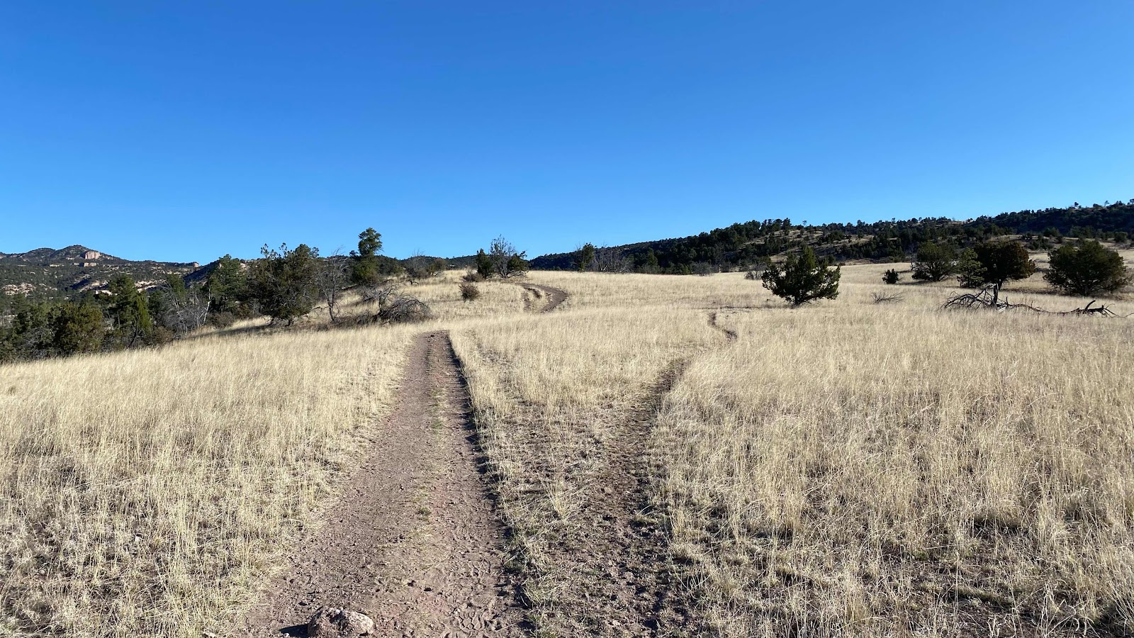
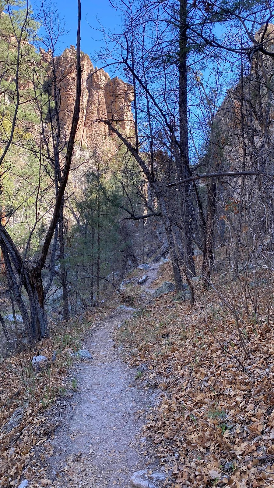
When either I or Dallas got to the junction we were to satellite text the other so we could figure out how to meet up. As I emerged from tight walled Bear Canyon
I found Dallas sitting on a log texting me. That was amazing timing.
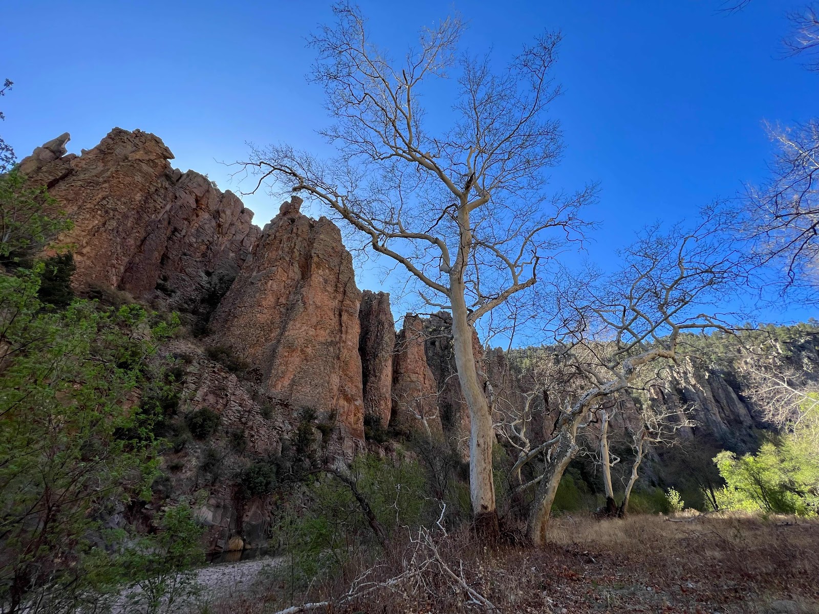
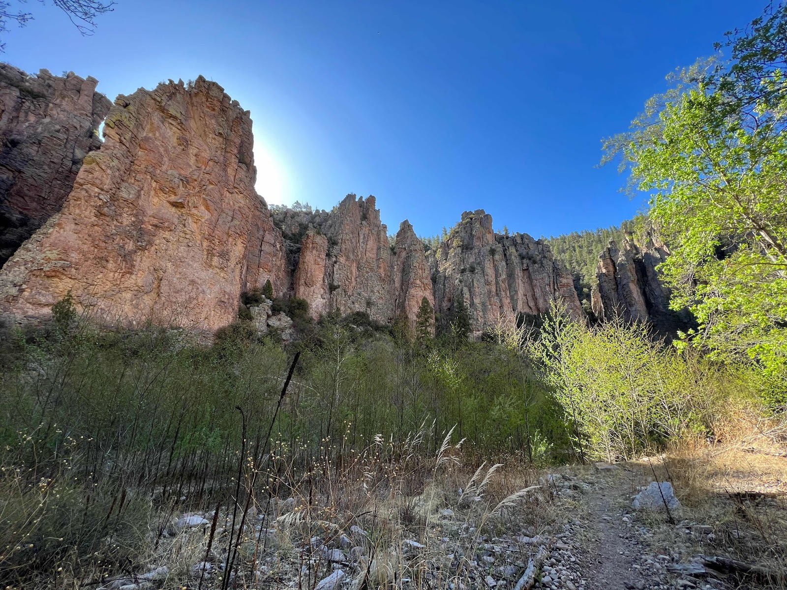
The Gila is famous for its winding river through tight winding canyons. It did not disappoint. It was fantastic. As I said yesterday, as glorious as Yosemite, if you can believe that.
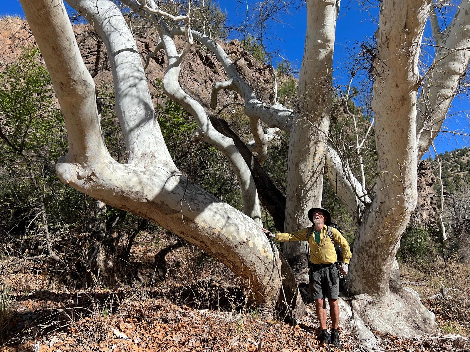
Me and the focus of my obsession, the sycamore tree

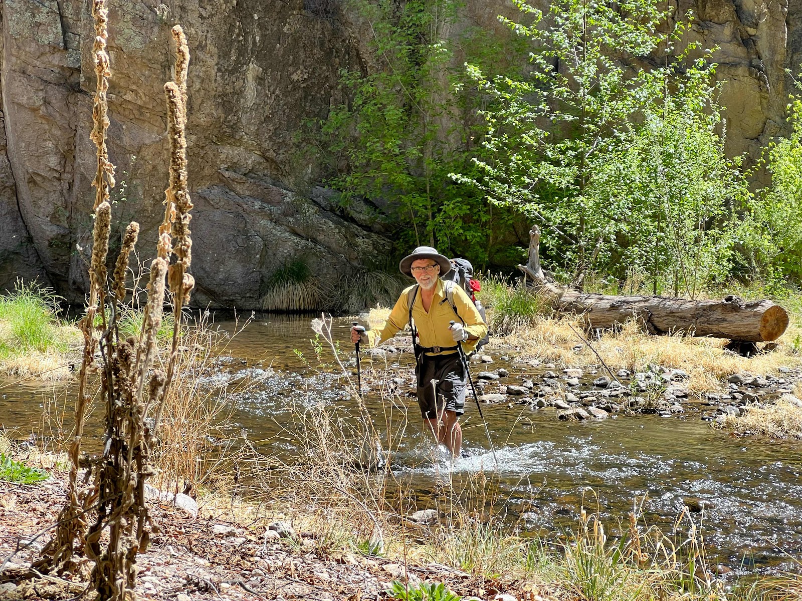
Another aspect the Gila is famous for is the number of times the trail crosses the river requiring a hiker to wade it. I had opened a notebook pad on my phone and typed an “x” each time we waded across. In ten miles we wadded the river 64 times! What this means is we walked 10 miles with wet heavy shoes and wet feet. But, what glorious fun!

The sycamore trees were as magnificent as ever, backdropped by red cliff walls. Spectacular!!
We have to make 20 miles a day to get to Pie Town before we run out of food. Doc Campbells Post is at mile 39.6. We found excellent camping at 59.5, just a tenth of a mile short of the necessary goal.
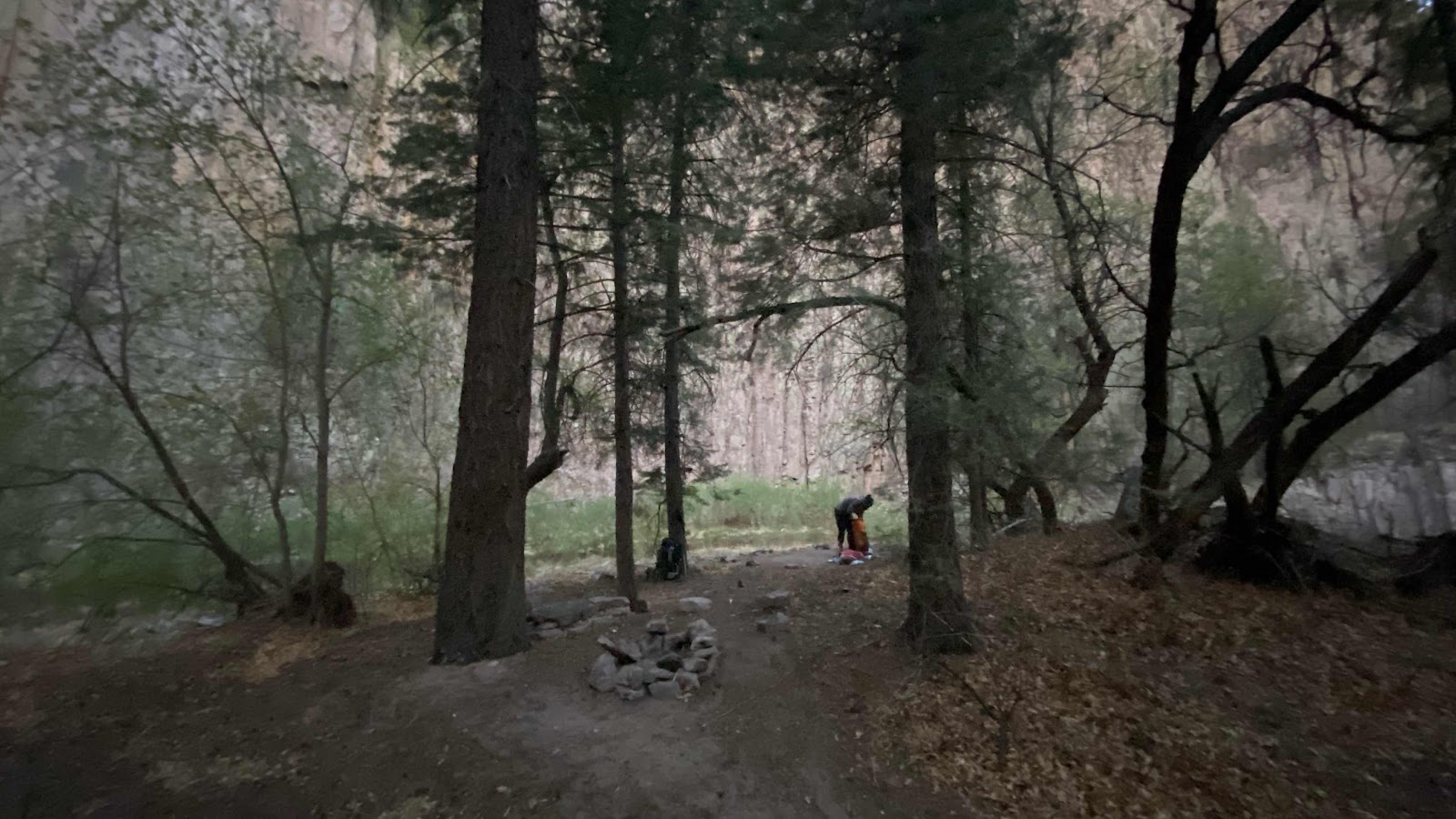
My back was sore from 10.5 hours of an over filled backpack riding there. I was fatigued. Tent up and crawl inside to lay down. It was about 4:30 when we arrived. I tended to my feet, rinsed my shoes and hung the insoles and my socks up to dry, a nearly futile effort. We were camped on a 180° bend in the river on the inside of the bend. Across the river on the outside of the bend were sheer 150’ walls of vertical rock. It was magnificent, but it also blocked the sun. Still, because of the low humidity, everything but my shoes dried overnight.
Tomorrow is the the last day on the Gila. There are 20 miles left to wind through and who knows how many river crossing to wade through.
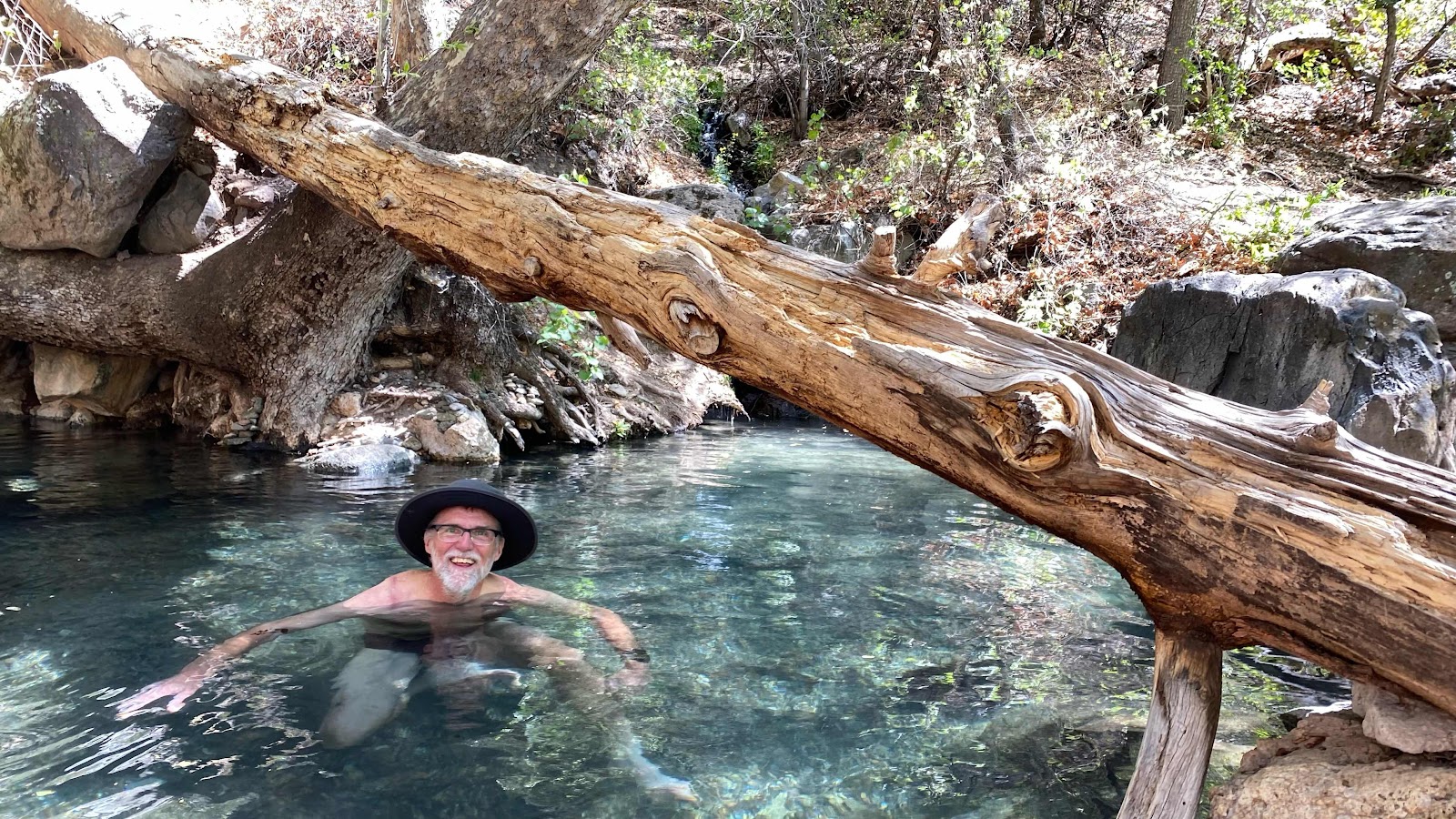
There was a hot springs along the trail. I had to stop in and soak for a few minutes.
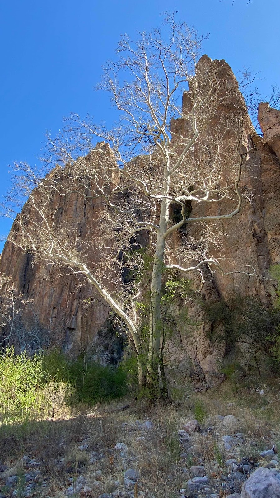
Another sycamore photo
No chance of dry feet. 64 river crossings today.
Sun rise in the Gila Canyon.
What happened to your Garmin track for April 22? It's missing. I assume that's why you included the screen shot map above.
ReplyDelete