When I worked as a hiking and climbing guide with the Boy Scouts back in the late 60’s and 70’s there would be days when it seemed impossible to move. Every step a chore. A sort of malaise overtook your body and refused to leave. We called it “Acute Mountain Lassitude”. It would pass, maybe lasting only a few hours or half a day. Most times we could not figure out what would trigger it. It just came of its own accord.
Today, I suffered Acute Mountain Lassitude, but I knew the reason why. 27.4 reasons why. Yesterday I really pushed. I had a good night’s sleep after the long day, but 11 hrs rest is not enough to fully replenish. Yet, today I would have to push through AML to cover the 21 miles to the spigot, our only source of water. Last night I had filled all five of my one liter containers. In the process of cooking dinner and rehydrating myself I consumed three. Waking to only two liters and 20 miles to walk I knew I had to go back to the Aragon Water tank and fill one more bottle. Bird and Grit were camping about 40’ away so I filled an extra bottle in case they needed water for the day. Last night after filling bottles I stripped off my shirt and used my pan and some Dawn dish soap to wash my body and hair. It was way too cold for that this morning. There was ice in my two water bottles. I filled two -one liter bottles and walked back to my tent. Bird was up. I asked if needed water. He said no, he was on the phone to a shuttle service to come pick him up and drive him to Rincon so he could resupply. I didn’t ask, but I assumed Grit was going also. Dallas was good for water, so I poured a liter out on a thirsty looking shrub and finished packing my pack. We were a mile from the trail near the Aragon water source. There are a number of dirt track roads through the area and we negotiated them back to the actual trail, right where it crosses highway 12. Some trail angel had left a half a dozen 16.5oz water bottles laying near the trailhead sign post. Rather than carry it on my back I chugged one of the bottles to “camel up” for the morning ahead. The water was super cold and I got a brain freeze for my actions.
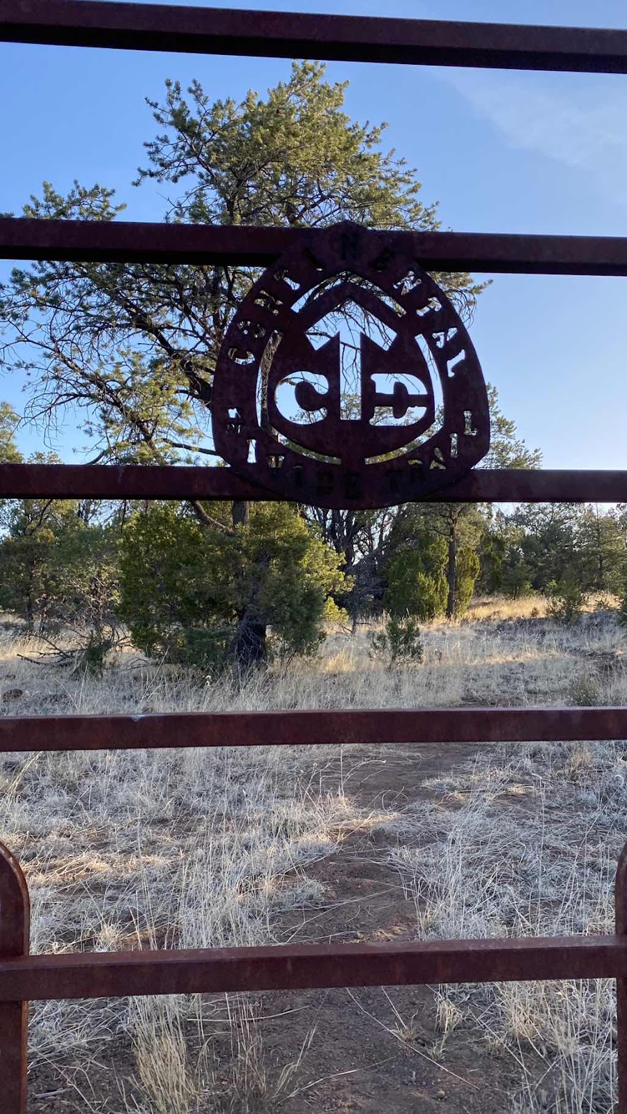
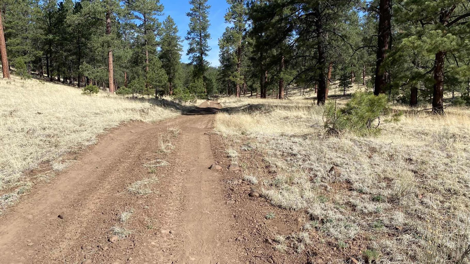
Again today there was the CDT and an alternate. The alternate had the spigot at 21 miles, the actual CDT had a cow trough fed by a windmill at 18.7 miles. We opted for the alternate for a couple reasons. (1) after the cow trough there is no other water on the CDT until you hit Pie Town. (2) There is a 13 mile highway walk on the standard CDT (3) at mile 25 on the alternate the Davile family ranch has made a CDT “rest stop” right on the route that has showers, washing machines, toilet, food, stoves, WiFi and more. Plus, it is about 7 miles shorter. The only down side is it is all 100% on roads, dirt roads.
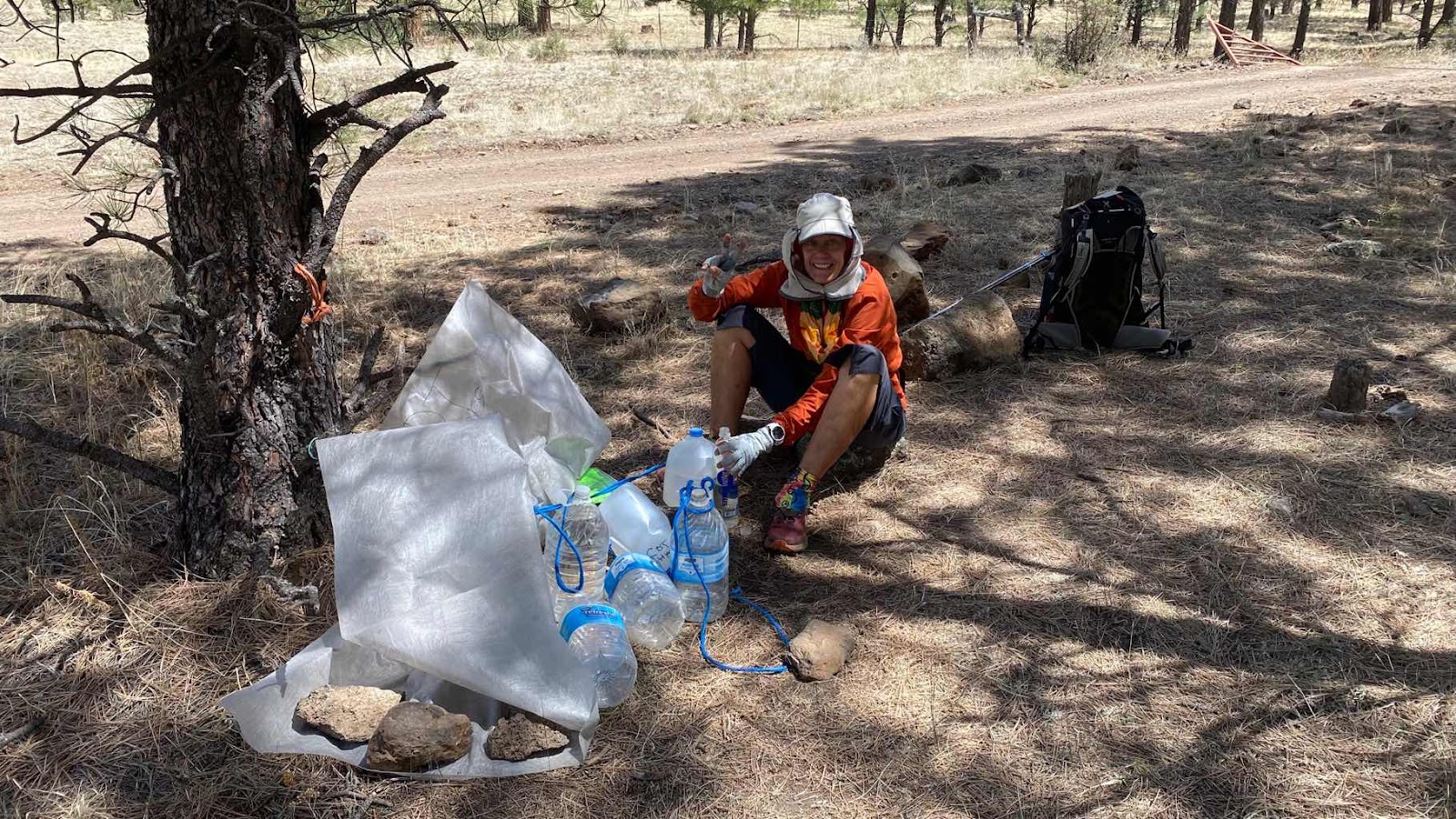
At first things went well. The AML was at bay and the ground slipped by at the normal 3 mph on the flats and 2 mph on the uphills. As the morning moved forward, walking became more of a chore. 20 miles seemed just too much, but it was a must. We had to get to water. However, there was a possibility of an alternate plan. One of the shuttle drivers had reportedly left a cache of water at mile ten. I had read about it in the comments on FarOut. If that was there, we could camel up, refill to three liters and only hike 15 or 16 miles and dry camp for the night.
The cache was near the intersection of two gravel roads. There was also a primitive campground at the corner. When we got there, we dropped our packs, planning to eat lunch. Dallas checked up the road we turned off of for the cache. I went back to the campground and check it. Nothing. Then I checked up the road we were to walk, the Mangas Mtn Road. About 0.1 miles up it I saw something white on the right side in some trees. Sure enough, it was a white tarp. When I pulled it back there were about 8 gallon jugs, 3 still full and unopened. We moved our lunch stop to this location and topped off our three bottle each. Yahoo! Now we didn’t need to go another 11 miles today. Our route took us up the Mangas Mtn road to the top of Mt Mangas, a 1590’ climb in 4 miles. Once over the top and headed down we would camp in the first suitable site. It took nearly two hours to top out. I got there first and tried cell service. One bar. I called Sally as it was her birthday and I had been hoping to get service. Yesterday, I had used my satellite connection through my inReach device to ask Andy and Jeff to get flowers for her. Now that I had service I could call. The call went through, but the signal was so tenuous that it dropped before I could say happy birthday. Dallas topped out rested a minute then started down. I moved down the road a bit and tried again. This time the signal held and I got to talk to her for about 20 minutes.
I headed down the other side of the mountain on a dirt road and found Dallas setting up her tent on a wonderful flat spot on the ridge. She thought I might have missed the fork I the road on top and was on the wrong road.
Before setting up my tent I checked for signal. One bar, enough for five days of texts, voice mails and emails to come pouring in. I dealt all of those before setting up my tent. The wind was blowing steadily over the ridge through the tree tops, but not bad at ground level. The sky was clear blue with a few patchy clouds. I cooked and ate dinner, curry chicken and rice with pineapple, cashews and craisins. Like last night, my favorite dinner and about a quart of it.
I discovered that while lying in my tent I had a bar of service so I called Andy and Sally and talked until dark. Then, I had to write my blog for the day before, which took me until nearly 10, but it was fun to recount the nasty water 27.4 mile day. Life is amazing!

The orange circle is where the CDT crossed highway 12, The purple circle is where we found the water cache. Yellow circle is the camp spot on Mangus Mtn. The light blue circle is the Davile Ranch rest stop for CDT hikers. The red line is the actual CDT.
No comments:
Post a Comment