I was doubtful of making camp last night with only one liter of water, but it worked out fine. I had chugged an entire liter at the last water supply, so I suppose I really had two liters, one in my Smart Water bottle and one in my belly. I ate a package of Pop Tarts for breakfast while packing. A nutrition filled meal. Not! But, 400 calories. They are a pretty calorie dense food. Like eating a slab of lard for breakfast.
In all my years of hiking and climbing it never occurred to me to dedicate a pocket on the outside of the pack for a tent. My new pack (well, really, 6 weeks of continuous use old now) has a long pocket on one side for your shelter. Smart! The first thing you want when entering camp is your tent. The last thing you pack in the morning is your tent. This is wonderful. I can completely pack my pack inside my tent, avoiding the mosquitoes, then pop out, strike the tent, stuff it in its pocket and zoom off on my way. Brilliant.
Yesterday, I had hoped and planned to camp 2.0 miles further up the trail than I did, but a thunderstorm was flailing on that part of the trail so I stopped short and sheltered from the storm. This morning as I passed my planned spot I saw it was indeed a very nice, flat spot with lots of room for tents. It was also right on top of the ridge, not a good place to weather an electrical storm.
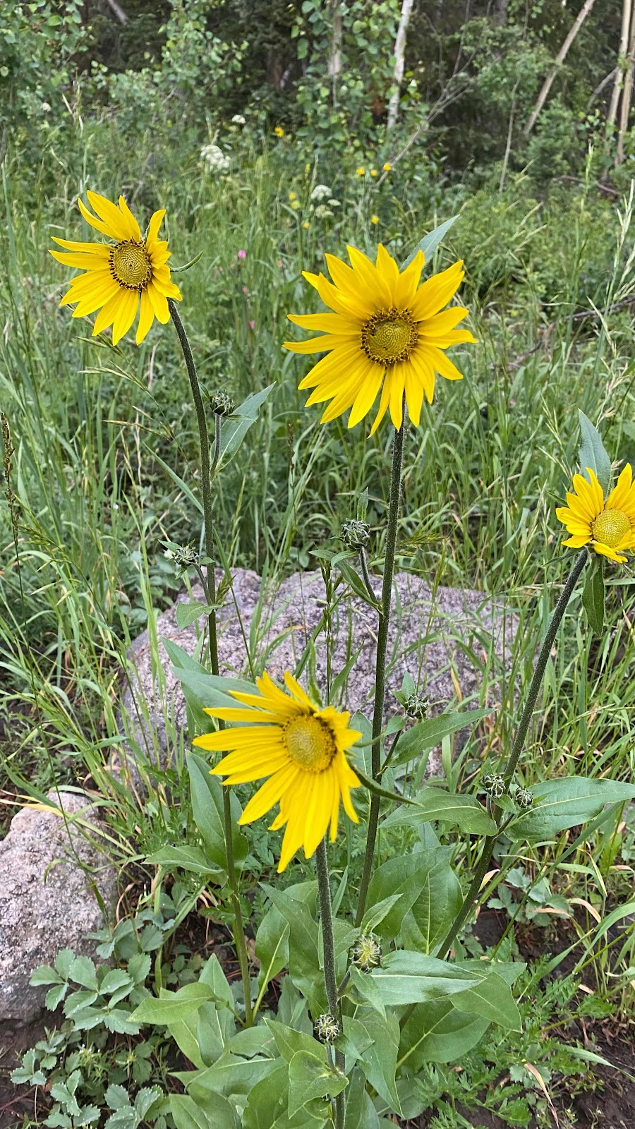
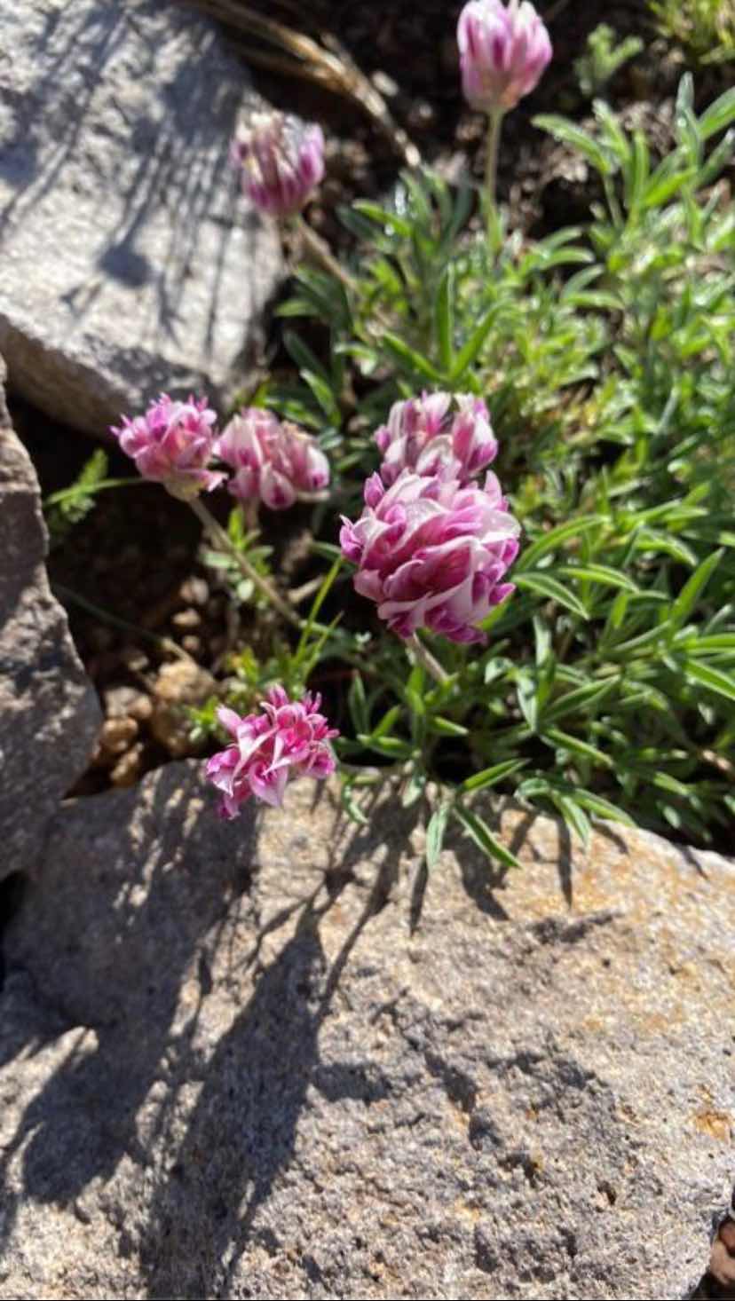
My foot took its usual couple miles to settle in to its day of beatings. The trail undulated up and down as it wove in and out between bumps on the ridge. Not much elevation change and the flowers were stunning. I took photos and used the “Picture This” app to identify them, if I had service at that moment (see some below). At one of these brief pauses I saw new text messages and found Sally had rented an AirB&B for me in Steamboat Springs. What?!? How wonderful is that? I was planning to visit an Urgent Care facility and have my foot x-rayed to make sure it is just aggravated tendons and not a stress fracture. This made it easy.
About this time I heard someone coming up behind me. G-String? Yep. How did I get ahead of him? On questioning, I found out he and Woodpecker camped on the ridge and weathered the storm directly over them last night. He was a little slow getting out of camp this morning. Woodpecker was up ahead. I let him pass, but then kept up with him for a couple of miles, my foot being pain free right at the moment. We got a chance to talk a little. Soon we caught up with Woodpecker. She was pulled to the side of the trail in the sun, drying all her gear from last night’s soaking. I left them alone so they could talk in private if need be, and started down the trail, missed a turn and had to backtrack. G-String didn’t miss it and ended in front of me.
The trail descended for a while, then began a 1000’ climb. On the climb, I got off trail again, noticed my mistake, but saw in essence I was cutting a very long road switchback and using FarOut, guided myself back to the road/trail higher up on the climb. As it turns out, from here to where we leave the trail to go to Steamboat Springs is all road walk, about 30 miles.
Unless you zoom way in on FarOut, and I mean way in, the thick red line that marks the route covers the underlying map symbols and you don’t notice whether you are on trail or road. This section of road walk escaped me as I didn’t expect it to be road so I never zoomed in to look for it (I sent FarOut’s support team a suggestion that they use different symbology to make it easier for us to distinguish dirt road [- - - - ] from paved road [-••-••-••] from trail [ _______ ]. They sent a response back within an hour. Amazing.)
The rest of today was dirt road, very eroded at times, but good enough some OHVs made it up. G-String and Woodpecker were way ahead of me, or so I thought. Another thunderstorm was brewing and passing directly overhead. I had my umbrella out and was walking down the road when I heard voices in the trees to the side. They had taken shelter in the trees, waiting for the lightning to pass over. I joined them for about ten minutes, enjoying my umbrella’s protective wonderfulness when hail the size of marbles started pelting us.
With the storm passed, we headed down the road again. They soon outdistanced me. I continued until I had 20 miles in (or so I thought. 0.1 miles short), set up my tent on the side of the road in the now shining sun and rested, wrote, ate dinner and watched the final episode of Stranger Things. It was only 4:15pm when I stopped. I could have gone farther, but I was tired of fighting the pain in my left foot with each step. I’ll wait until tomorrow. I’ll have about 18 miles to hike before I start hitchhiking into Steamboat Springs.
Road walking does have its advantages. You can hike much faster because you don’t need to be concerned about foot placement and the grade is much gentler than a trail. Still, 18 miles is a lot of road to cover. I’ll get up earlier than normal so I can get to town at a descent hour.
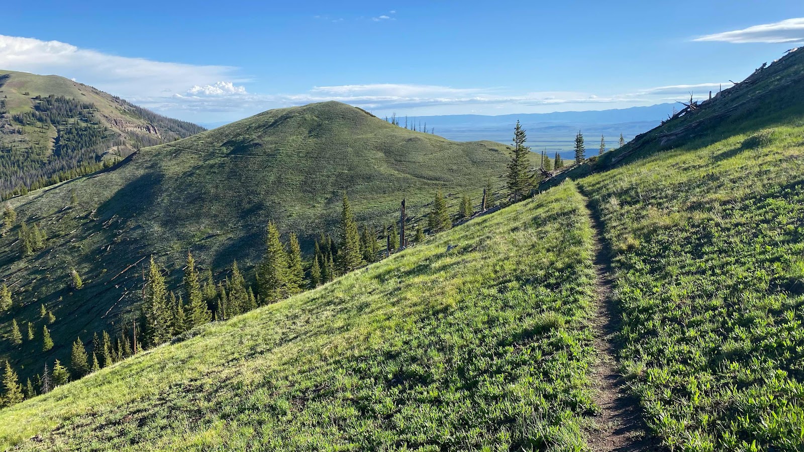
You can see the trail cutting across the hill in the near distance. Beautiful scenery for the whole day.
The yellow flowers are Spearleaf Stonecrop

How about some Roughstem Rosinweed? I love names that describe the plant. Easier to remember.
Some Sky Pilot. Always found high up, as the name suggests

Sanddune Wallflower

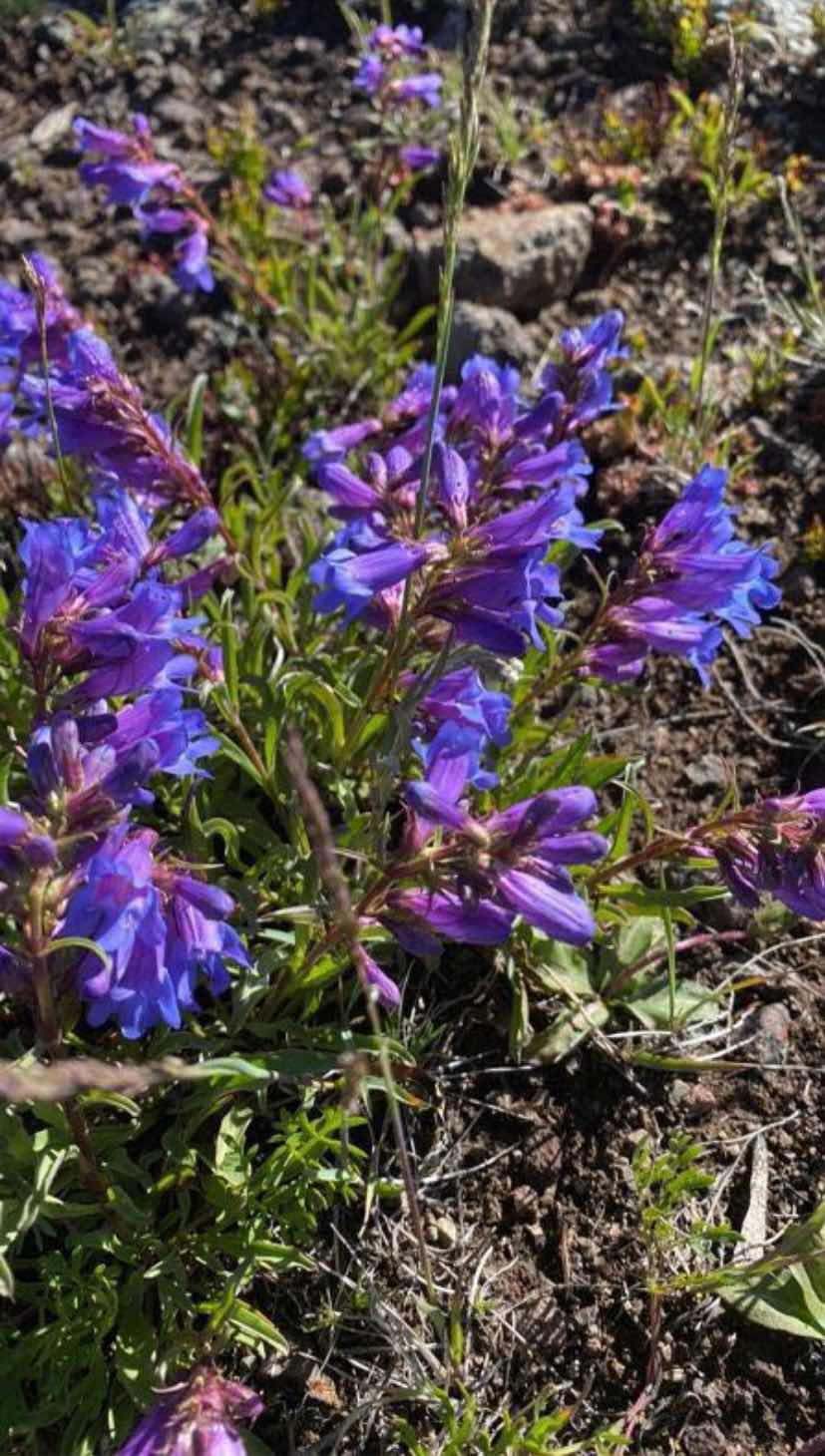
Royal Penstemon
Tomcat Clover
Silky Phacelia

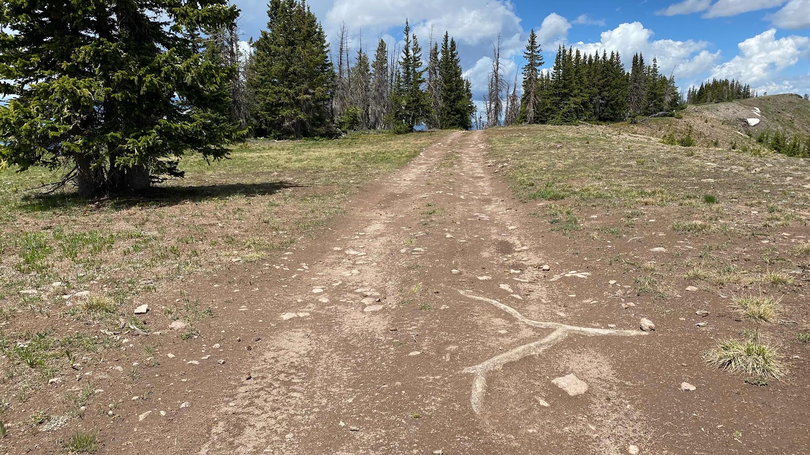
The Road
The hail that pelted us

No comments:
Post a Comment