Being in a cabin last night I had the opportunity to sit in a chair and roll my foot on a ball between icing it. That might account for its quicker than usual warm up this morning on the trail. It felt good to almost be normal from the get go.
We were up early, as usual and hung around the cabin until 7:00 when the store opened. I grabbed an ice cream bar and a bottle of ibuprofen as I was running through my supply.
It was a mile walk to the post office. A beautiful clear morning with blue skies. Dallas has a set pace she walks which is about 1/2 a mile an hour faster than mine so she is always way ahead. We arrived at the Post Office at about 7:30 and plopped down on the entry sidewalk to wait until 8:30 for opening. At about 7:40 the Post Mistress came out to check something. I said good morning and let her know there was a lot of people coming by this morning to get packages. She said she had a lot inside. I said we could get two packages off her hands early and she said great! Really? 45 minutes before opening? Guess so!
We collected our resupply boxes and quickly sorted our food, eliminating a days worth. The trail to Rawlins is 82 miles, a four day trek. It is all road save about 5 miles of single track. All but 2 miles of road is dirt. The redline follows Sage Creek Road, a two lane paved highway for 2 miles before turning off on a dirt road. If one stays on the highway, the route to Rawlins is only about 61 miles. A 20 mile savings. As one person posted on FarOut:
We picked the paved poison. 20 less miles means one day less food, hence the sorting and eliminating at the Post Office.
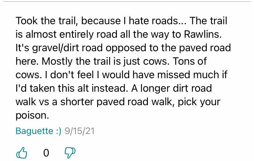
Once we had our food in our packs we walked along the street in town that is highway 70 going to Battle Pass, thumbing the few cars that came by. About a block from the Post Office someone in town built a bench for CDT hikers to sit on while trying to secure a ride. We stood in front of the bench on the shoulder waiting for a car. A truck stopped. The driver apologized that he couldn’t take us to the pass as he was turning off before the pass. Really? Stopping to apologize because he was going somewhere else? The next truck stopped and had us throw our packs in the back. Dallas took the front seat, I jumped in the back seat. A retired guy was driving. “Patriot” radio was on. He was as misinformed as would be expected from a guy that listens to “Patriot” radio. Vocalized the question why investigate Jan 6 but not the “riots” in Seattle. Luckily he got off politics and started explaining the history of the area. Very interesting. He let us out at the trailhead at 8:45, full 3 hours earlier than I had expected to get here.
The trail was an old road, for the first 10 miles. They mined copper here for years. Had a gravity powered tram that carried the ore from up here on the mountain all the way to Encampment, about 17 miles long. The road ran along the ridge line for the most part and trended slightly downhill. At 9.7 the trail began, leaving the road to the right. I missed it and hiked 0.4 miles before I checked FarOut and saw I was off trail. I knew Dallas and a few other hikers were eating lunch at the first water of the day down that trail and I wanted to be there. Missing the junction and overshooting by 0.4 miles means a 20 minute delay. I hustled back up to the junction then down the trail toward the water. I was moving as fast as I could. I tripped. At that speed I couldn’t catch myself and literally face planted in the dirt on the side of the trail. Bent my glasses and lost one of the nose pads. Scratches on my forehead. Bruises on my nose where the glasses sans nose pad dug in. I was right, they were all at the creek eating lunch, or just finishing up, Raider, Pitch, Stormtrooper and Dallas. I ate a hasty lunch while they all left, then continued on.
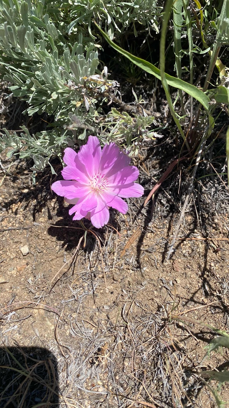
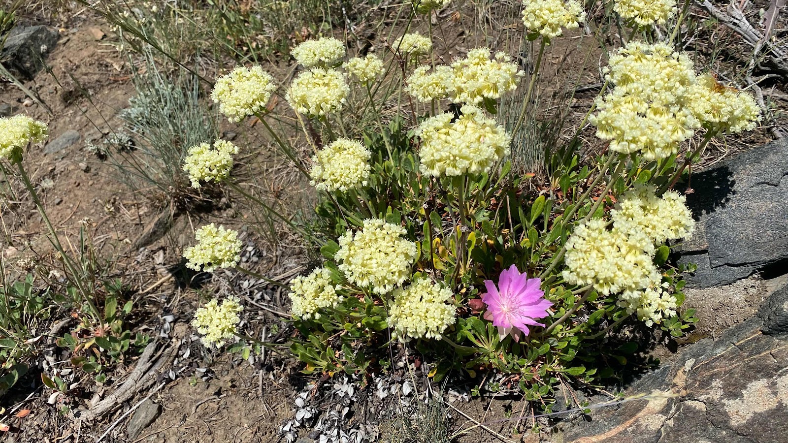
The trail flowed from Aspen forest to open field to conifer forest. In the open fields the flowers were in full bloom. It was amazing.
We were nearing 20 miles and needed to find a place to camp. Too many dead trees to camp
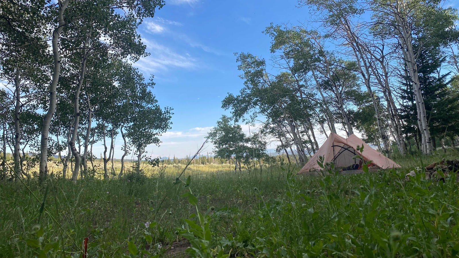
In the forested parts and too hot in the sun in the meadows and no level ground. Looking at the contours on the map we saw a level spot up a side road that was in the green part of the map, meaning the trees. It was less than a quarter mile off the trail. It was perfect. Shady from a stand of healthy aspens, grassy carpet and level with a view. We still had a few hours of daylight to enjoy. I prepared for another night of shoulder and neck pain and was not disappointed. Luckily, Dallas’ tent was far enough away my moaning didn’t disturb her. I got a few hours sleep when the Ibu was at its maximum, but I was up early the next morning and out before she had her tent down.
We are at much lower altitude and it is July so the daytime temps are hot (high 80°s) and the nights only cool down to about 59°.
Dallas thumbs a ride in Encampment near the hikers bench.

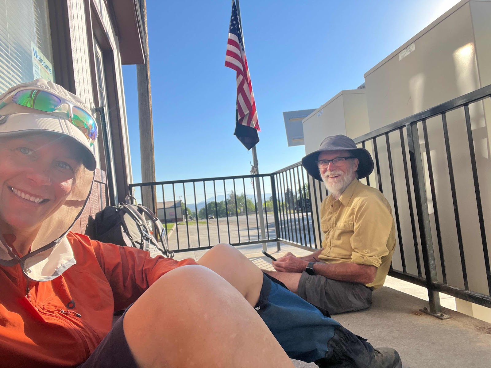
The trail is a road for most of the day. The double track is nice. You can pick which rut to walk in and the grades are usually less steep.
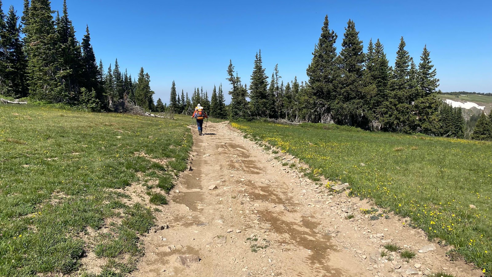
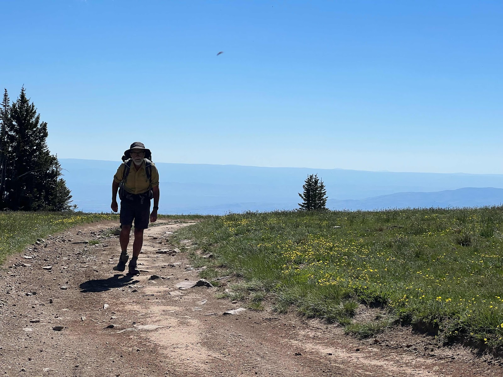
Me walking the trail near the top of Bridger peak
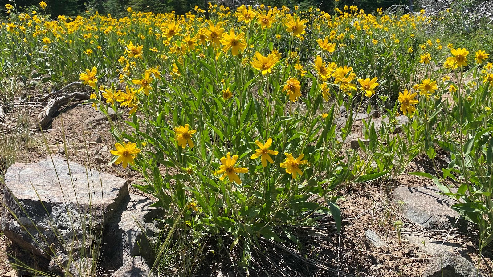
Flowers were amazing!
Camping on the edge of the Aspen forest in the grass.
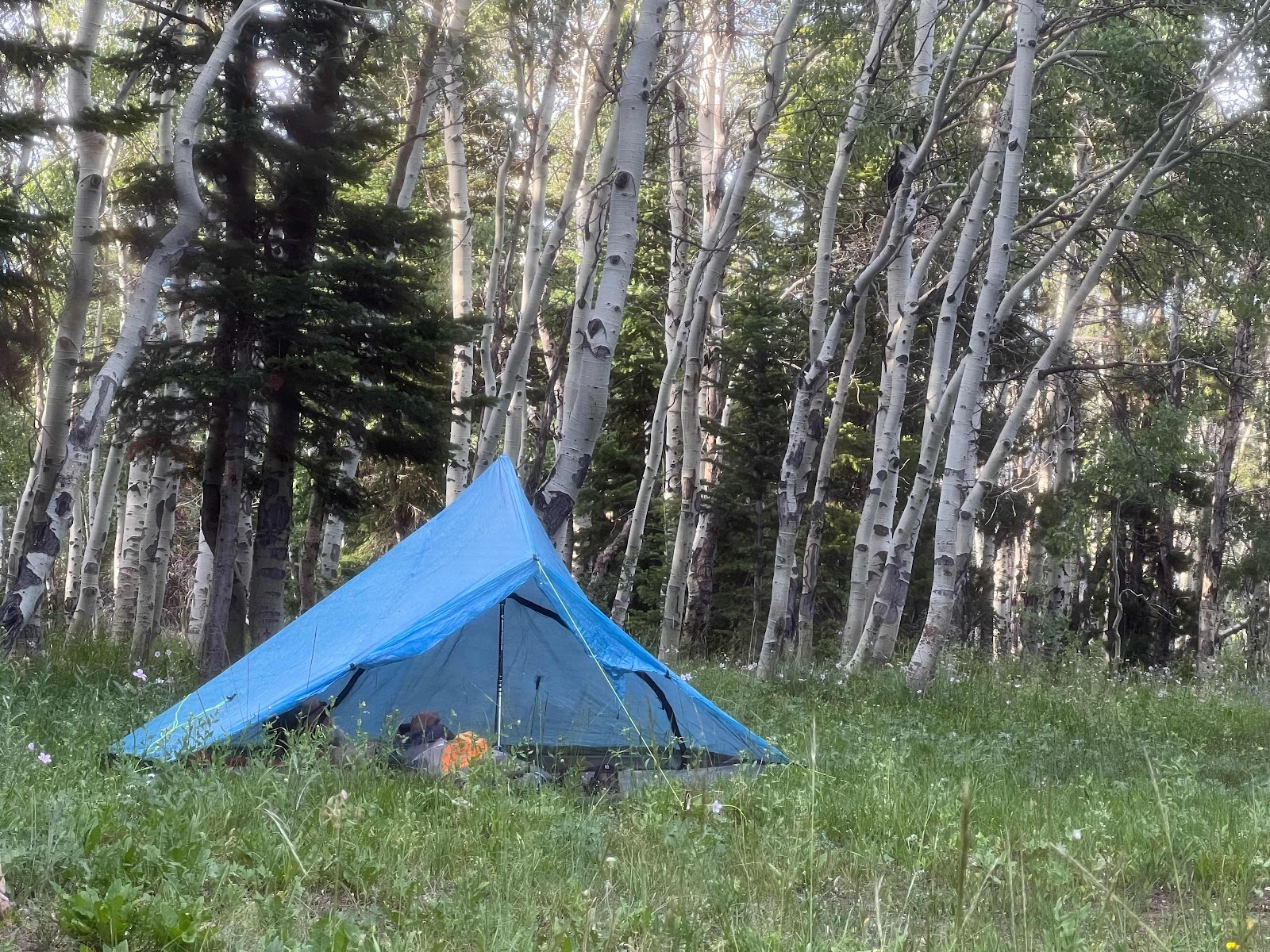
Dallas’s tent
No comments:
Post a Comment