The continuous mountains. The countless ridges. The alpines lakes. The climbs. The descents. Every thing is running together. I am finding it hard to remember which day I climbed what ridge to which overlook to what campsite to a view of what mountain. It is becoming a blur of peaks, ascents, descents, valleys and ridges.
I write this lying in my tent in a campground in the town of Lake City, about the size of Castle Rock, at 8:52 in the morning, trying to remember where I was and what I saw two days ago. It is a blur. To stimulate my memory I look at FarOut guide, Avenza Maps and my photos. Those resources help bring things into focus, but the days are running together. Here is my best attempt of recollection of the day.
The night with my tent in an avalanche and time weathered broken down log cabin was not as wind free as I thought it would be. The logs deflected some of the wind, but the stronger gusts still managed to rattle my tent. There was a sign just outside the dilapidated log cabin warning that it was a historic site and nothing was to be taken, defaced or altered in any way. I didn’t do any of those things, just pitched my tent in it, so I figured I was okay.
Before dark last night Numbers, Mummy and a few other hikers I did not know came by as I lay under my quilt and said hi and I thought they were camping in the lee of the cabin, but when I woke this morning and stood up to take down my tent there was no one there. They must have just stopped and hunkered down for a bite to eat in the wind shadow before moving on to find a more sheltered spot. I had been careful during the night to be quiet. As it turned out, there was no need to. I am still having a hard time, during my wakeful moments in the middle of the night, realizing I am camping by myself. In my subconscious I imagine that Sally, my kids or grandkids are sleeping next to me or in an adjoining tent. Weird.
Anyway, the cabin site was at 12,500’, just down below the 12,600’ pass where the wind blew through. The trail followed the road down the south side of the pass for a half a mile, then turned off and rounded a ridge into, believe it or not, the Rio Grande River head waters. About half an hour after starting I crossed the mighty Rio Grande.
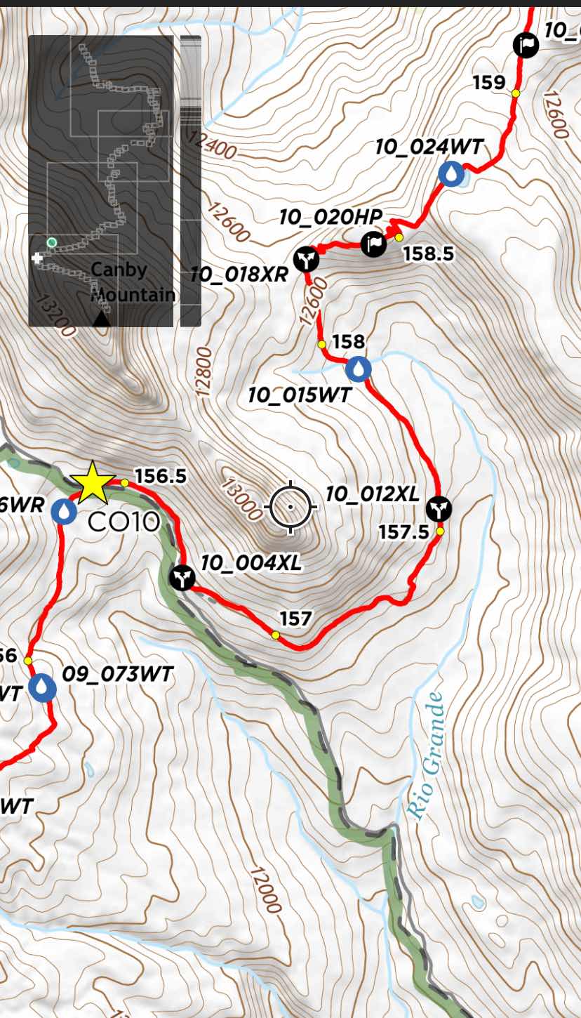

Here is the Rio Grande at 12,000’ in the Rockies. Not quite so “Grande” yet
Then the trail climbed to 12,800’. The cool part of the Rockies is once the trail goes up, it stays up and runs along the top of broad rounded or sloping ridges affording wonderful views. Luckily, the weather has been excellent. I imagine getting caught up on these in a storm would be really nasty as there is no cover of any kind, no trees, bushes, shrubs, nothing.
During this day I only saw three hikers, Cheese and Lush and Extra Mile. Extra Mile lives in Glacier, east of Bellingham on the Mt. Baker highway. She is in charge of lift operations at Mt Baker ski resort. We leap frogged each other a couple times, but other than those three, I saw no else.
In places, the trail was incredibly steep, going right up the fall line of the hill. At 12,000’ of elevation, I am only able to take steps about the length of my shoe up these slopes. It makes for slow forward progress, but you gain elevation quickly.
After the last pass I dropped down into a valley where the vegetation began to feel more Clint Eastwood High Plains Drifter rather than Robert Redford Jeremiah Johnson. It didn’t last more than half a mile because the trail climbed again and brought me to the Carson Saddle Trailhead.
Here I sat in the grass, took off my shoes and ate a relaxing lunch. I had hiked 16 miles. If I wanted to go on, I would have to go eight more because the trail climbed to 13,200’ and stayed above 12,600 for the next eight miles until it dropped below 11,600. At these higher altitudes there is no coverage to provide protect from the wind and therefore makes camping difficult. At 11,600’ there are trees, albeit mostly dead ones, but they do provide shelter from the wind.
So I decided to stay put. Back at the log house I had tented in last night I had 32 miles to go to get to Spring Creek Pass from which I would hitchhike to the town of Lake City to get my resupply and take at least one zero to rest and recover. At Carson Saddle Trailhead I had covered exactly half that distance, 16 miles. It would have been great to tack on another 8 for the day because then I would only have 8 to go to get to Spring Creek Pass. I could arrive early in the morning and make a nero day of it in Lake City. But, I don’t have the strength to do a 24 mile day at these altitudes, so I had to be content resting the remainder of the day.
While laying in the grass I heard the sound of machines growing louder. Soon 15 ATVs drove over the saddle. They spent the next 2 hours driving around this old mining site, including driving up the very slope I was to hike up tomorrow all the way to 13,000’. While they were up above, grinding up the steep slope I moved to the mining ruins they were previously at and eyed another log house to sleep in. The wind wasn’t too bad, but inside this unchinked log structure I was assured some wind protection. I pitched my tent inside and then lazed around the until bed time. I hung my smelliest foods, cheese and hard salami from the roof rafters, figuring this cabin would be rife with mice and rats. I didn’t want to hang all my food for fear a bear would be attracted by the scent. The hanging food would be a pinãta for a bear and he would get it all so I put the non smelly food in my tent with me. As it turned out, not a single varmint visited during the night. My food was safe. And, as it turned out there was very little wind.


Mummy caught up with me. I asked if he could snap a photo of me. He did.

The CDT intersects many trails. Where the CDT stays high, these cross trails usually are going from a valley on one side of the divide to a valley on the other side. Good escape routes for when the weather turns bad.
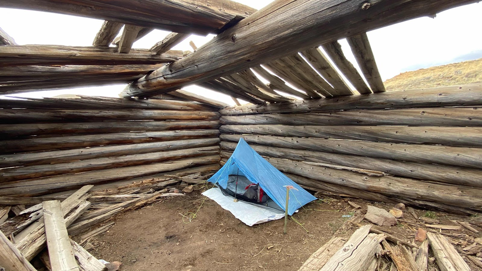
My rent is the old log cabin. Good wind protection. Not so good on rain protection.
No comments:
Post a Comment