Today had a lot of up and down. 5377’ up and 4528’ down over 19.8 miles. The day climaxes with a climb over the shoulder of San Luis Peak before dropping down into the Cochetopa Creek. A big day following two zero days.
Nurse and I discussed morning and daytime routines and found little overlap. I’m up at 5:00am and on the trail by 6:00am. I take a break at 5 miles, then 10, then every three after that. I like to be done hiking by 4:00pm. He is up at 6-6:30am and on the trail by 7:00-7:30. He takes a break at 6 miles, then a 1 to 2 hour lunch about noon before resuming and hiking until 7:30 or 8:00. We might pass on the trail but our routines are quite different.
The underlying idea of the trail is “Hike Your Own Hike”(HYOH). We all have different sleep patterns, hiking paces, different distances we can physically walk in a day, etc. You can bend those to some extent, but some would be difficult to change. With luck, you’ll pair up with someone who bends a little, as you do, until you mesh and hike together. That was true for Dallas and I in New Mexico and Nico, Enigma and I between Cubres Pass and Wolf Creek Pass.
Today, I hiked pretty much alone. Totally alone until about 11:00am when Pat passed me. An hour later Car Bomb passed me, but then we leapfrogged each other for the remainder of the day.
The weather started out clear, but even at 8:00 in the morning you could see clouds building in the distance. At 11:00am a thunder clap announced a little rain, hail and snow. It lightly dumped on me for about five minutes, just enough to wet the ground.
This thunder cloud thing happened while I was down in the trees, following the trail down around the bottom of a cliff. It made me a little uncertain about climbing onto the barren ridges above. But, the clouds in the skies were dispersing rather than gathering.
It has been a habit of the CDT to go straight up or straight down a slope. Switchbacks must not have been invented when these trails were built. Consequently, the trails are deeply eroded and more akin to stream beds than trails. There is no tread, just rocks, all the soil has been eroded away. It makes it difficult to go up. Going down is even more difficult as it is like descending a steep hill scattered with marbles.
I descended from the last pass into the Cochetopa River basin about 1.5 miles and camped next to the first stream. An hour later Puddles and Sunny D arrived and set up near by. Monk and Pig Pen arrived an hour after that. Talking to Puddles (age 24) and Sunny S (age 27) I found they were Pro Ski Patrollers in Maine. This last season was their third. We talked shop and compared hills, accidents and facilities. They marveled at the White Pass Aid Room when I showed them photos. Their facility sounds like our old one.
Monk had found he did not have his phone with him leaving Lake City and had his ride return to his pickup point. In doing so, the driver ran over his phone that was lying on the shoulder of the road. The screen is shattered, but still works. He will hitch into Salida. There is a screen fixit shop and an ATT store in town. Either get it fixed or buy a new one.
I watched episode 4 of Stranger Things on my phone after blogging. About nine thirty I rolled over and called it a night.
Spring Creek Pass with parking lot and picnic area. We slept in the picnic area.

Having just crested the edge of the Snow Mesa I looked down to find my shadow.

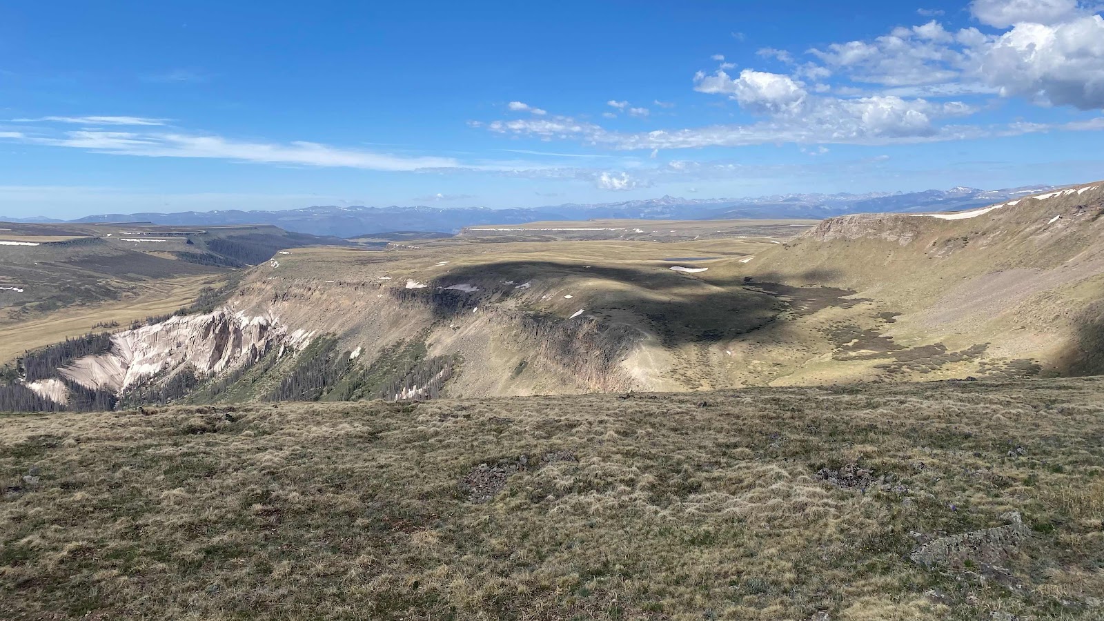
The Snow Mesa is huge. It undulates for miles at 12,200’. The trail crosses it.

The trail goes on and on across the Snow Mesa

Snow Mesa
Here is a section of traversing trail with good tread, easy to walk on and make good time.

No comments:
Post a Comment